9614 W Oraibi Dr Peoria, AZ 85382
Estimated Value: $292,156 - $369,000
--
Bed
2
Baths
1,202
Sq Ft
$280/Sq Ft
Est. Value
About This Home
This home is located at 9614 W Oraibi Dr, Peoria, AZ 85382 and is currently estimated at $336,039, approximately $279 per square foot. 9614 W Oraibi Dr is a home located in Maricopa County with nearby schools including Apache Elementary School, Sunrise Mountain High School, and Sonoran Science Academy-Peoria.
Ownership History
Date
Name
Owned For
Owner Type
Purchase Details
Closed on
May 5, 2022
Sold by
Young Denise L
Bought by
Christopher M Young And Denise L Young Living
Current Estimated Value
Purchase Details
Closed on
Jul 10, 2021
Sold by
Ruth S Dubbelde Trust and Young Denise L
Bought by
Mary Beth Roselli Family Trust and Roselli
Purchase Details
Closed on
Jul 3, 2021
Sold by
Young Denise L
Bought by
Young Denise L and Roselli Mary Beth
Purchase Details
Closed on
Oct 14, 2011
Sold by
Dubbelde Ruth and Dubbelde Ruth S
Bought by
Dubbelde Ruth S and The Ruth S Dubbelde Revocable Living Tru
Create a Home Valuation Report for This Property
The Home Valuation Report is an in-depth analysis detailing your home's value as well as a comparison with similar homes in the area
Home Values in the Area
Average Home Value in this Area
Purchase History
| Date | Buyer | Sale Price | Title Company |
|---|---|---|---|
| Christopher M Young And Denise L Young Living | -- | Moore Marsh Law | |
| Mary Beth Roselli Family Trust | -- | None Listed On Document | |
| Young Denise L | -- | None Available | |
| Dubbelde Ruth S | -- | None Available |
Source: Public Records
Tax History Compared to Growth
Tax History
| Year | Tax Paid | Tax Assessment Tax Assessment Total Assessment is a certain percentage of the fair market value that is determined by local assessors to be the total taxable value of land and additions on the property. | Land | Improvement |
|---|---|---|---|---|
| 2025 | $1,497 | $17,907 | -- | -- |
| 2024 | $1,642 | $17,054 | -- | -- |
| 2023 | $1,642 | $24,750 | $4,950 | $19,800 |
| 2022 | $1,609 | $20,450 | $4,090 | $16,360 |
| 2021 | $1,685 | $19,380 | $3,870 | $15,510 |
| 2020 | $1,453 | $17,610 | $3,520 | $14,090 |
| 2019 | $1,406 | $14,850 | $2,970 | $11,880 |
| 2018 | $1,359 | $13,400 | $2,680 | $10,720 |
| 2017 | $1,360 | $12,810 | $2,560 | $10,250 |
| 2016 | $1,346 | $12,080 | $2,410 | $9,670 |
| 2015 | $1,256 | $11,730 | $2,340 | $9,390 |
Source: Public Records
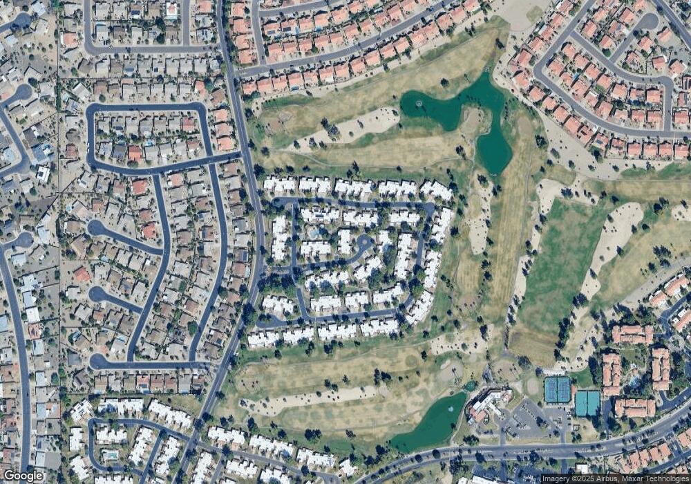
Map
Nearby Homes
- 9706 W Rimrock Dr Unit 95
- 9708 W Rimrock Dr Unit 96
- 19562 N 96th Ln Unit 80
- 9704 W Tonto Ln
- 9734 W Kerry Ln Unit 14
- 9727 W Kerry Ln
- 9839 W Utopia Rd
- 9856 W Rimrock Dr
- 9646 W Taro Ln
- 19093 N 97th Ln Unit 46
- 19120 N 98th Ln Unit 112
- 9832 W Behrend Dr
- 19702 N 98th Ln
- 9622 W Taro Ln
- 19605 N Pine Springs Dr
- 19222 N Palo Verde Dr
- 19400 N Westbrook Pkwy Unit 220
- 19400 N Westbrook Pkwy Unit 216
- 19400 N Westbrook Pkwy Unit 121
- 19400 N Westbrook Pkwy Unit 241
- 9612 W Oraibi Dr Unit 110
- 9616 W Oraibi Dr Unit 112
- 9702 W Oraibi Dr Unit 113
- 9639 W Tonto Ln
- 9637 W Tonto Ln Unit 72
- 9708 W Oraibi Dr Unit 114
- 9635 W Tonto Ln
- 9701 W Tonto Ln Unit 70
- 9703 W Tonto Ln Unit 69
- 9633 W Tonto Ln Unit 74
- 9701 W Oraibi Dr
- 9710 W Oraibi Dr Unit 115
- 9623 W Oraibi Dr Unit 105
- 9627 W Oraibi Dr Unit 103
- 9621 W Oraibi Dr Unit 106
- 9625 W Oraibi Dr Unit 104
- 9703 W Oraibi Dr Unit 101
- 9705 W Tonto Ln
- 9615 W Oraibi Dr Unit 108
- 9631 W Tonto Ln