9615 Chance Rd Tillamook, OR 97141
Estimated Value: $532,000 - $676,024
4
Beds
2
Baths
2,892
Sq Ft
$204/Sq Ft
Est. Value
About This Home
This home is located at 9615 Chance Rd, Tillamook, OR 97141 and is currently estimated at $589,506, approximately $203 per square foot. 9615 Chance Rd is a home located in Tillamook County with nearby schools including Tillamook High School, Tillamook Adventist School, and Hendrickson Academy.
Ownership History
Date
Name
Owned For
Owner Type
Purchase Details
Closed on
Jul 1, 2016
Sold by
Tuthill John and Tuthill Marlene
Bought by
Maning Eric Dean and Curtis Manning Cheryl Ann
Current Estimated Value
Home Financials for this Owner
Home Financials are based on the most recent Mortgage that was taken out on this home.
Original Mortgage
$230,000
Interest Rate
4.5%
Mortgage Type
Seller Take Back
Create a Home Valuation Report for This Property
The Home Valuation Report is an in-depth analysis detailing your home's value as well as a comparison with similar homes in the area
Home Values in the Area
Average Home Value in this Area
Purchase History
| Date | Buyer | Sale Price | Title Company |
|---|---|---|---|
| Maning Eric Dean | $230,000 | None Available |
Source: Public Records
Mortgage History
| Date | Status | Borrower | Loan Amount |
|---|---|---|---|
| Closed | Maning Eric Dean | $230,000 |
Source: Public Records
Tax History Compared to Growth
Tax History
| Year | Tax Paid | Tax Assessment Tax Assessment Total Assessment is a certain percentage of the fair market value that is determined by local assessors to be the total taxable value of land and additions on the property. | Land | Improvement |
|---|---|---|---|---|
| 2024 | $4,130 | $415,410 | $106,280 | $309,130 |
| 2023 | $4,106 | $403,320 | $103,190 | $300,130 |
| 2022 | $3,961 | $391,580 | $100,190 | $291,390 |
| 2021 | $3,843 | $380,180 | $97,270 | $282,910 |
| 2020 | $3,630 | $358,370 | $94,440 | $263,930 |
| 2019 | $3,540 | $347,940 | $91,690 | $256,250 |
| 2018 | $3,450 | $337,810 | $89,020 | $248,790 |
| 2017 | $3,365 | $327,980 | $86,430 | $241,550 |
| 2016 | $3,233 | $318,430 | $83,910 | $234,520 |
| 2015 | $3,172 | $309,160 | $81,470 | $227,690 |
| 2014 | $2,971 | $300,160 | $79,090 | $221,070 |
| 2013 | -- | $292,830 | $75,680 | $217,150 |
Source: Public Records
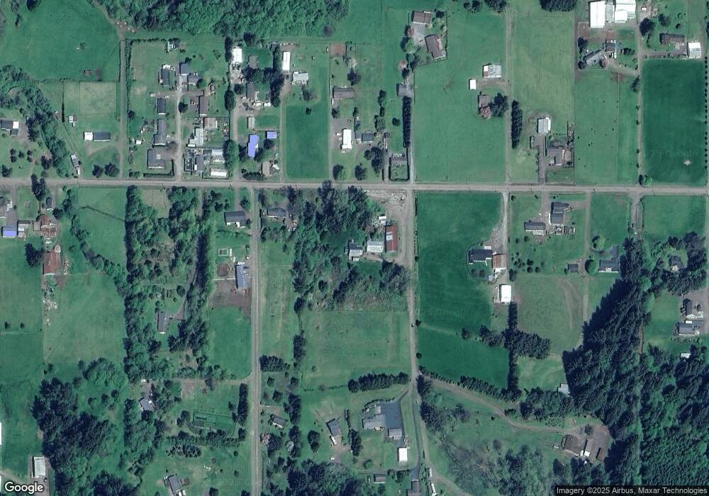
Map
Nearby Homes
- 9065 Trask River Rd
- 9225 Millcreek Rd
- 9225 Mill Creek Rd
- 0 Edelwyss Rd Unit 405 731536279
- TL 405 Edelwyss Rd
- 1690 Skyline Dr
- 0 Valley View Dr Unit 24275744
- 10360 Skyview Rd
- 0 Skyview Rd Unit 410604 427457611
- 810 Marvin Rd
- Lot 802 Trask River Rd
- 00 Schild Rd
- 00 Schild Rd Unit 201
- 7400 S Prairie Rd
- V/L Marolf Loop Rd
- 4205 Ginkgo Ave
- 1110 Meadow Ave
- 4009 Filbert St
- 9660 Sollie Smith Rd N
- 4004 Elmwood St