Estimated Value: $1,788,000
4
Beds
3
Baths
4,205
Sq Ft
$425/Sq Ft
Est. Value
About This Home
This home is located at 9615 Crape Rd, Sumas, WA 98295 and is currently priced at $1,788,000, approximately $425 per square foot. 9615 Crape Rd is a home located in Whatcom County with nearby schools including Sumas Elementary School, Nooksack Elementary School, and Everson Elementary School.
Ownership History
Date
Name
Owned For
Owner Type
Purchase Details
Closed on
Aug 5, 2003
Sold by
Mellema Dick A and Mellema Esther R
Bought by
Handy Charles and Handy Leeann
Current Estimated Value
Purchase Details
Closed on
May 17, 2000
Sold by
Mellema Dick and Mellema Esther
Bought by
Mellema Dean and Mellema Tina
Purchase Details
Closed on
Apr 12, 1984
Sold by
Holleman C L and Holleman Susan A
Bought by
Mellema Dick A and Mellema Esther R
Create a Home Valuation Report for This Property
The Home Valuation Report is an in-depth analysis detailing your home's value as well as a comparison with similar homes in the area
Purchase History
| Date | Buyer | Sale Price | Title Company |
|---|---|---|---|
| Handy Charles | -- | -- | |
| Mellema Dean | -- | -- | |
| Mellema Dick A | -- | Charter Title Corporation |
Source: Public Records
Tax History
| Year | Tax Paid | Tax Assessment Tax Assessment Total Assessment is a certain percentage of the fair market value that is determined by local assessors to be the total taxable value of land and additions on the property. | Land | Improvement |
|---|---|---|---|---|
| 2025 | $11,854 | $1,907,491 | $701,798 | $1,205,693 |
| 2024 | $12,626 | $1,871,334 | $695,048 | $1,176,286 |
| 2023 | $12,626 | $2,085,680 | $808,843 | $1,276,837 |
| 2022 | $10,612 | $1,879,020 | $728,698 | $1,150,322 |
| 2021 | $10,467 | $1,467,954 | $569,284 | $898,670 |
| 2020 | $9,163 | $784,785 | $23,200 | $761,585 |
| 2019 | $7,816 | $1,122,951 | $435,489 | $687,462 |
| 2018 | $10,292 | $676,539 | $20,000 | $656,539 |
| 2017 | $8,934 | $675,235 | $23,840 | $651,395 |
| 2016 | $8,907 | $601,594 | $21,240 | $580,354 |
| 2015 | $7,505 | $601,594 | $21,240 | $580,354 |
| 2014 | -- | $600,376 | $53,357 | $547,019 |
| 2013 | -- | $588,826 | $50,550 | $538,276 |
Source: Public Records
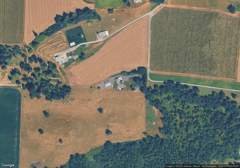
Map
Nearby Homes
- 1116 Sumas Ave Unit 1
- 1116 Sumas Ave Unit 2
- 1305 Boon St Unit 209
- 1305 Boon St Unit 213
- 208 Harrison St
- 4135 Kamphouse Dr
- 303 Hayes St
- 705 E 6th St
- 512 Allison Way
- 407 E 2nd St
- 1915 Hampton Rd
- 412 W 3rd St
- 404 W 3rd St
- 308 W 3rd St
- 304 W 3rd St
- 209 Nooksack Ave
- 702 N Washington St
- 1925 Hampton Rd
- 3292 S Pass Rd
- 2173 Lagerwey Cir
- 9657 Crape Rd
- 3289 Halverstick Rd
- 3203 Halverstick Rd
- 9697 Crape Rd
- 3120 Halverstick Rd
- 3280 Halverstick Rd
- 3385 Halverstick Rd
- 3371 Halverstick Rd
- 3362 Halverstick Rd
- 9644 Crape Rd
- 9717 May Rd
- 3222 Halverstick Rd
- 9402 Nooksack Rd
- 9625 Swanson Rd
- 9510 Swanson Rd
- 3111 Halverstick Rd
- 3079 Halverstick Rd
- 3452 Halverstick Rd
- 3047 Halverstick Rd
- 9827 May Rd
Your Personal Tour Guide
Ask me questions while you tour the home.