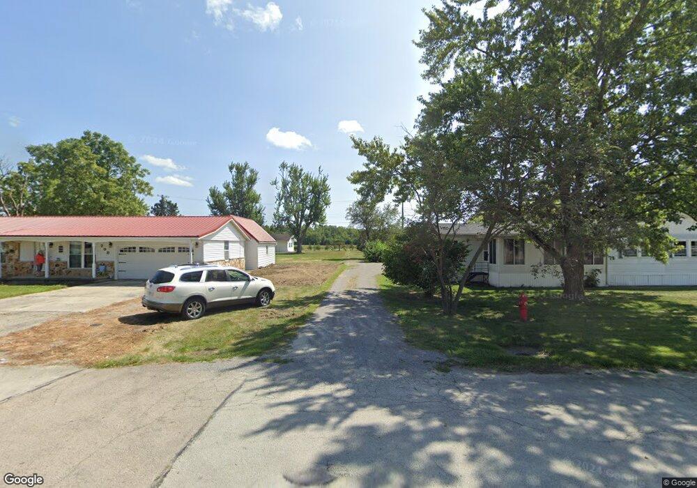
9615 St Route Rockford, OH 45882
Estimated Value: $201,000 - $215,000
4
Beds
1
Bath
1,700
Sq Ft
$123/Sq Ft
Est. Value
About This Home
This home is located at 9615 St Route, Rockford, OH 45882 and is currently estimated at $209,835, approximately $123 per square foot. 9615 St Route is a home located in Mercer County with nearby schools including Parkway Elementary School, Parkway Middle School, and Parkway High School.
Ownership History
Date
Name
Owned For
Owner Type
Purchase Details
Closed on
Apr 23, 2014
Sold by
Jpmorgan Chase Bank Na
Bought by
Chaney Richard A
Current Estimated Value
Purchase Details
Closed on
May 30, 2013
Sold by
Bayless Buster L and Bayless Nicole
Bought by
Jpmorgan Chase Bank National Association
Purchase Details
Closed on
Dec 22, 2008
Sold by
Hayes Jeffery B and Hayes Carol Sue
Bought by
Bayless Buster L and Bayless Nicole
Home Financials for this Owner
Home Financials are based on the most recent Mortgage that was taken out on this home.
Original Mortgage
$91,000
Interest Rate
6.3%
Mortgage Type
Purchase Money Mortgage
Create a Home Valuation Report for This Property
The Home Valuation Report is an in-depth analysis detailing your home's value as well as a comparison with similar homes in the area
Home Values in the Area
Average Home Value in this Area
Purchase History
| Date | Buyer | Sale Price | Title Company |
|---|---|---|---|
| Chaney Richard A | $42,000 | Attorney | |
| Jpmorgan Chase Bank National Association | $37,667 | None Available | |
| Bayless Buster L | $91,000 | Attorney |
Source: Public Records
Mortgage History
| Date | Status | Borrower | Loan Amount |
|---|---|---|---|
| Previous Owner | Bayless Buster L | $91,000 |
Source: Public Records
Tax History Compared to Growth
Tax History
| Year | Tax Paid | Tax Assessment Tax Assessment Total Assessment is a certain percentage of the fair market value that is determined by local assessors to be the total taxable value of land and additions on the property. | Land | Improvement |
|---|---|---|---|---|
| 2024 | $2,233 | $66,750 | $9,450 | $57,300 |
| 2023 | $2,233 | $66,750 | $9,450 | $57,300 |
| 2022 | $1,835 | $43,860 | $7,880 | $35,980 |
| 2021 | $1,823 | $43,860 | $7,880 | $35,980 |
| 2020 | $1,934 | $45,890 | $7,880 | $38,010 |
| 2019 | $1,340 | $33,400 | $7,530 | $25,870 |
| 2018 | $1,307 | $33,400 | $7,530 | $25,870 |
| 2017 | $1,181 | $33,400 | $7,530 | $25,870 |
| 2016 | $1,054 | $28,980 | $7,000 | $21,980 |
| 2015 | $1,043 | $28,980 | $7,000 | $21,980 |
| 2014 | $996 | $28,980 | $7,000 | $21,980 |
| 2013 | $1,103 | $28,980 | $7,000 | $21,980 |
Source: Public Records
Map
Nearby Homes
- 0 Wilson Unit 1037059
- 0 Wilson Unit 306333
- 9155 Us Route 127
- 208 W Pearl St
- 208 Market St
- 0 Rockford West Rd Unit Lots 14- 28
- 11164 Erastus Durbin Rd
- 7957 W Bridge St
- 1218 Brittany Dr
- 1101 Timothy Ln
- 1528 Mary Ln
- 4640 Sierra Dr
- 6764 Silver Lakes Dr
- 6699 Gause Rd
- 628 Hoying St
- 541 Lisle St
- 0 Anderson 13&14 & Roadway 12&13 Unit 1037886
- 115 Touvelle St
- 2010 Barnsbury Ct
- 627 N Sugar St
- 9615 State Route 118
- 9615 Ohio 118
- 9469 State Route 118
- 9794 State Route 118
- 9878 State Route 118
- 9309 State Route 118
- 9926 State Route 118
- 4271 Tama Rd
- 4291 Tama Rd
- 9422 State Route 118
- 9999 State Route 118
- 0 Fast Rd Unit 208049
- 0 Fast Rd Unit lot 1 1017248
- 0 Fast Rd Unit Lot 7 428680
- 0 Fast Rd Unit Lot 18 428675
- 0 Fast Rd Unit 20 368699
- 0 Fast Rd Unit 18 368698
- 0 Fast Rd Unit 7 368697
- 0 Fast Rd Unit 6 368545
- 0 Fast Rd Unit 5 368544