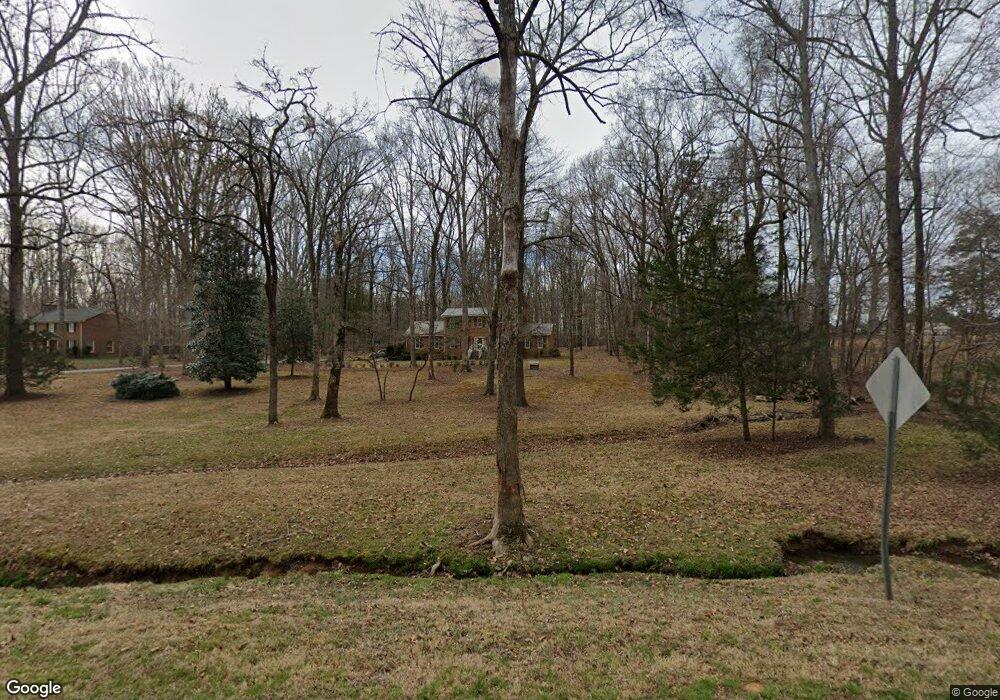
9616 S Lowell Rd Bahama, NC 27503
Estimated Value: $440,000 - $592,000
4
Beds
3
Baths
1,908
Sq Ft
$263/Sq Ft
Est. Value
About This Home
This home is located at 9616 S Lowell Rd, Bahama, NC 27503 and is currently estimated at $502,533, approximately $263 per square foot. 9616 S Lowell Rd is a home located in Durham County with nearby schools including Mangum Elementary School, Lucas Middle School, and Northern High School.
Ownership History
Date
Name
Owned For
Owner Type
Purchase Details
Closed on
Jun 18, 2003
Sold by
Wrightenberry Loretta H
Bought by
Speight Wilbur L and Speight Robyn M
Current Estimated Value
Home Financials for this Owner
Home Financials are based on the most recent Mortgage that was taken out on this home.
Original Mortgage
$223,150
Outstanding Balance
$96,189
Interest Rate
5.56%
Mortgage Type
Purchase Money Mortgage
Estimated Equity
$406,344
Create a Home Valuation Report for This Property
The Home Valuation Report is an in-depth analysis detailing your home's value as well as a comparison with similar homes in the area
Home Values in the Area
Average Home Value in this Area
Purchase History
| Date | Buyer | Sale Price | Title Company |
|---|---|---|---|
| Speight Wilbur L | $235,000 | -- |
Source: Public Records
Mortgage History
| Date | Status | Borrower | Loan Amount |
|---|---|---|---|
| Open | Speight Wilbur L | $223,150 |
Source: Public Records
Tax History Compared to Growth
Tax History
| Year | Tax Paid | Tax Assessment Tax Assessment Total Assessment is a certain percentage of the fair market value that is determined by local assessors to be the total taxable value of land and additions on the property. | Land | Improvement |
|---|---|---|---|---|
| 2025 | $3,553 | $494,881 | $154,296 | $340,585 |
| 2024 | $2,848 | $280,601 | $75,562 | $205,039 |
| 2023 | $2,685 | $280,601 | $75,562 | $205,039 |
| 2022 | $2,564 | $280,601 | $75,562 | $205,039 |
| 2021 | $2,307 | $280,976 | $75,937 | $205,039 |
| 2020 | $2,278 | $280,976 | $75,937 | $205,039 |
| 2019 | $2,278 | $280,976 | $75,937 | $205,039 |
| 2018 | $2,189 | $249,692 | $66,500 | $183,192 |
| 2017 | $2,164 | $249,692 | $66,500 | $183,192 |
| 2016 | $2,095 | $249,692 | $66,500 | $183,192 |
| 2015 | $2,135 | $223,859 | $58,419 | $165,440 |
| 2014 | $2,135 | $223,859 | $58,419 | $165,440 |
Source: Public Records
Map
Nearby Homes
- 8313 Polaris Dr
- 9625 S Lowell Rd
- 8636 Johnson Mill Rd
- 8635 Johnson Mill Rd
- 8200 Bromley Rd
- 921 Matthew Ln
- 0 Matthew Ln
- 7433 Guess Rd
- 7421 Guess Rd
- 7415 Guess Rd
- 7409 Guess Rd
- 2210 Harris Rd
- 0 Little River Dr Unit 10119715
- 7122 Guess Rd
- 7120 Guess Rd
- 7008 Windover Dr
- 418 Quail Roost Farm Rd
- 7610 Buckhorn Rd
- 404 Phar Lap Ln
- 7105 Guess Rd
- 8237 Lowell Valley Dr
- 9624 S Lowell Rd
- 8229 Lowell Valley Dr
- 8219 Lowell Valley Dr
- 9608 S Lowell Rd
- 8209 Lowell Valley Dr
- 217 Northfork Ln
- 9740 S Lowell Rd
- 8224 Lowell Valley Dr
- 8303 Polaris Dr
- 8201 Lowell Valley Dr
- 8214 Lowell Valley Dr
- 8302 Polaris Dr
- 7912 Lowell Valley Dr
- 7912 Lowell Valley Dr Unit 22
- 8206 Lowell Valley Dr
- 7920 Lowell Valley Dr
- 601 Lowell Valley Dr
- 7904 Lowell Valley Dr
- 8305 Polaris Dr