Estimated Value: $727,000 - $814,000
3
Beds
3
Baths
1,216
Sq Ft
$640/Sq Ft
Est. Value
About This Home
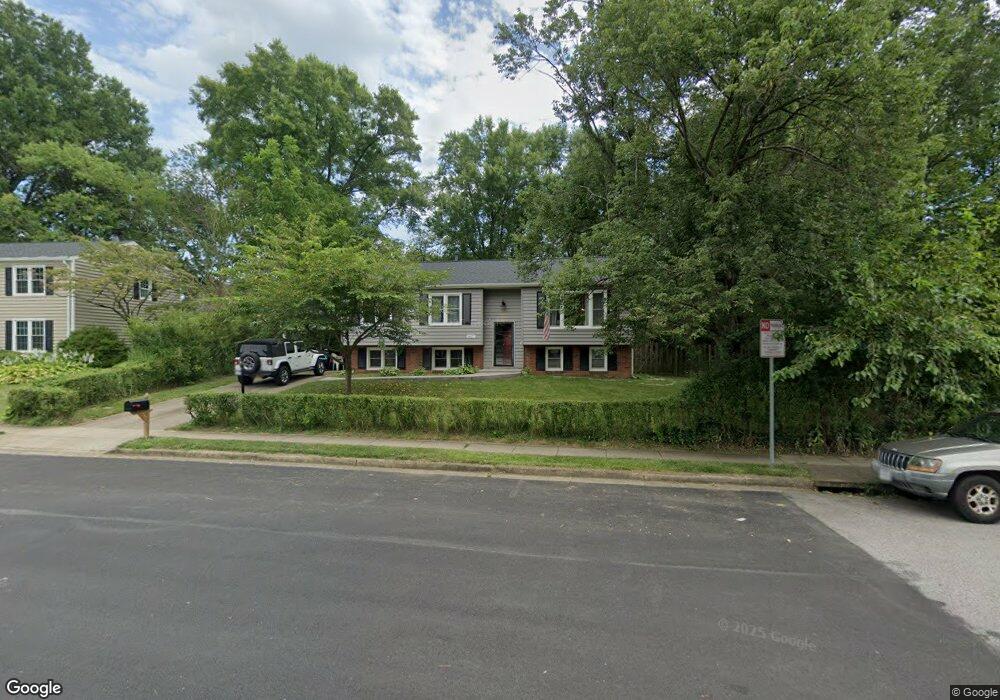
This home is located at 9617 Ashbourn Dr, Burke, VA 22015 and is currently estimated at $778,407, approximately $640 per square foot. 9617 Ashbourn Dr is a home located in Fairfax County with nearby schools including Kings Park Elementary School, Kings Glen Elementary School, and Lake Braddock Secondary School.
Ownership History
Date
Name
Owned For
Owner Type
Purchase Details
Closed on
Dec 12, 2003
Sold by
Foote Diana L
Bought by
Stanton Jeffrey A and Stanton,Kathleen M
Current Estimated Value
Home Financials for this Owner
Home Financials are based on the most recent Mortgage that was taken out on this home.
Original Mortgage
$295,920
Outstanding Balance
$137,315
Interest Rate
5.9%
Mortgage Type
New Conventional
Estimated Equity
$641,092
Purchase Details
Closed on
Oct 30, 1995
Sold by
Vanderpool William F
Bought by
Foote Ray A
Home Financials for this Owner
Home Financials are based on the most recent Mortgage that was taken out on this home.
Original Mortgage
$155,600
Interest Rate
7.6%
Create a Home Valuation Report for This Property
The Home Valuation Report is an in-depth analysis detailing your home's value as well as a comparison with similar homes in the area
Home Values in the Area
Average Home Value in this Area
Purchase History
| Date | Buyer | Sale Price | Title Company |
|---|---|---|---|
| Stanton Jeffrey A | $369,900 | -- | |
| Foote Ray A | $194,500 | -- |
Source: Public Records
Mortgage History
| Date | Status | Borrower | Loan Amount |
|---|---|---|---|
| Open | Stanton Jeffrey A | $295,920 | |
| Previous Owner | Foote Ray A | $155,600 |
Source: Public Records
Tax History
| Year | Tax Paid | Tax Assessment Tax Assessment Total Assessment is a certain percentage of the fair market value that is determined by local assessors to be the total taxable value of land and additions on the property. | Land | Improvement |
|---|---|---|---|---|
| 2025 | $8,082 | $763,980 | $331,000 | $432,980 |
| 2024 | $8,082 | $697,650 | $306,000 | $391,650 |
| 2023 | $7,892 | $699,370 | $306,000 | $393,370 |
| 2022 | $7,358 | $643,450 | $281,000 | $362,450 |
| 2021 | $6,627 | $564,690 | $251,000 | $313,690 |
| 2020 | $6,512 | $550,240 | $241,000 | $309,240 |
| 2019 | $6,233 | $526,650 | $236,000 | $290,650 |
| 2018 | $6,056 | $526,650 | $236,000 | $290,650 |
| 2017 | $5,935 | $511,160 | $226,000 | $285,160 |
| 2016 | $5,432 | $468,890 | $211,000 | $257,890 |
Source: Public Records
Map
Nearby Homes
- 5502 Peppercorn Dr
- 5342 Guinea Rd
- 9604 Glenarm Ct
- 5552 Peppercorn Dr
- 9752 High Water Ct
- 9532 Burdett Rd
- 5601 Castlebury Ct
- 9502 Wallingford Dr
- 5635 Sutherland Ct
- 9438 Wallingford Dr
- 9984 Whitewater Dr
- 5406 Midship Ct
- 5482 Midship Ct
- 5460 Truxion Ct
- 5122 Pommeroy Dr
- 5078 Twinbrook Run Dr
- 5105 Coleridge Dr
- 9315 Winbourne Rd
- 9329 Raintree Rd
- 9928 Wood Wren Ct
- 9615 Ashbourn Dr
- 5410 Duxford Place
- 5308 Crown Point Rd
- 5408 Duxford Place
- 9613 Ashbourn Dr
- 5412 Duxford Place
- 5411 Crossrail Dr
- 5413 Crossrail Dr
- 5405 Crossrail Dr
- 5407 Crossrail Dr
- 5409 Crossrail Dr
- 5415 Crossrail Dr
- 5403 Crossrail Dr
- 5401 Crossrail Dr
- 5417 Crossrail Dr
- 5406 Duxford Place
- 5419 Crossrail Dr
- 5306 Crown Point Rd
- 5421 Crossrail Dr
- 9612 Ashbourn Dr
Your Personal Tour Guide
Ask me questions while you tour the home.