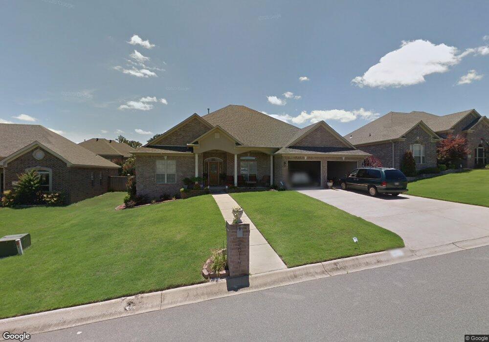
9617 Mercury Dr Sherwood, AR 72120
Estimated Value: $370,000 - $404,000
--
Bed
2
Baths
2,824
Sq Ft
$139/Sq Ft
Est. Value
About This Home
This home is located at 9617 Mercury Dr, Sherwood, AR 72120 and is currently estimated at $392,278, approximately $138 per square foot. 9617 Mercury Dr is a home located in Pulaski County with nearby schools including Sylvan Hills Elementary School, Sylvan Hills Middle School, and Sylvan Hills High School.
Ownership History
Date
Name
Owned For
Owner Type
Purchase Details
Closed on
Nov 21, 2008
Sold by
Davcon Builders Inc
Bought by
Barbee Lawrence and Barbee Debbie I
Current Estimated Value
Home Financials for this Owner
Home Financials are based on the most recent Mortgage that was taken out on this home.
Original Mortgage
$251,363
Outstanding Balance
$164,265
Interest Rate
5.99%
Mortgage Type
FHA
Estimated Equity
$228,013
Create a Home Valuation Report for This Property
The Home Valuation Report is an in-depth analysis detailing your home's value as well as a comparison with similar homes in the area
Home Values in the Area
Average Home Value in this Area
Purchase History
| Date | Buyer | Sale Price | Title Company |
|---|---|---|---|
| Barbee Lawrence | $256,000 | American Abstract & Title Co |
Source: Public Records
Mortgage History
| Date | Status | Borrower | Loan Amount |
|---|---|---|---|
| Open | Barbee Lawrence | $251,363 |
Source: Public Records
Tax History Compared to Growth
Tax History
| Year | Tax Paid | Tax Assessment Tax Assessment Total Assessment is a certain percentage of the fair market value that is determined by local assessors to be the total taxable value of land and additions on the property. | Land | Improvement |
|---|---|---|---|---|
| 2025 | $2,986 | $67,706 | $7,200 | $60,506 |
| 2024 | $2,986 | $67,706 | $7,200 | $60,506 |
| 2023 | $2,986 | $67,706 | $7,200 | $60,506 |
| 2022 | $3,333 | $67,706 | $7,200 | $60,506 |
| 2021 | $3,254 | $57,310 | $7,700 | $49,610 |
| 2020 | $2,867 | $57,310 | $7,700 | $49,610 |
| 2019 | $2,867 | $57,310 | $7,700 | $49,610 |
| 2018 | $2,892 | $57,310 | $7,700 | $49,610 |
| 2017 | $2,892 | $57,310 | $7,700 | $49,610 |
| 2016 | $3,072 | $60,760 | $7,800 | $52,960 |
| 2015 | $2,983 | $60,760 | $7,800 | $52,960 |
| 2014 | $2,983 | $56,483 | $7,800 | $48,683 |
Source: Public Records
Map
Nearby Homes
- 2949 Maelstrom Cir
- 9716 Wild Mountain Dr
- 3032 Overcup Dr
- Lot 6 Johnson Dr
- Lot 5 Johnson Dr
- Lot 4 Johnson Dr
- Lot 2 Johnson Dr
- Lot 1 Johnson Dr
- 00 Johnson Dr
- 9580 Robin Ln
- 66 Oakbrooke Dr
- 9460 Robin Ln
- 3301 Brundle Ct
- 109 Pamela Ln
- 111 Pamela Ln
- 16 Patty Ln
- 2117 Ingleside Dr
- 1300 E Maryland Ave
- 14 Pamela Ln
- 8909 Overcup Acres Cove
- 9609 Mercury Dr
- 9625 Mercury Dr
- 0 Lot 326 Mercury Dr Unit 10225098
- 3016 Maelstrom Cir
- 3024 Maelstrom Cir
- 3008 Maelstrom Cir
- 9601 Mercury Dr
- 9616 Mercury Dr
- 9633 Mercury Dr
- 9608 Mercury Dr
- 3000 Maelstrom Cir
- 3032 Maelstrom Cir
- 9624 Mercury Dr
- 9600 Mercury Dr
- 0 Mercury Dr Unit 17035955
- 9632 Mercury Dr
- 9717 Wild Mountain Dr
- 9725 Wild Mountain Dr
- 9709 Wild Mountain Dr
- 3017 Maelstrom Cir