9617 W Oraibi Dr Unit 107 Peoria, AZ 85382
Estimated Value: $316,103 - $380,000
--
Bed
2
Baths
1,291
Sq Ft
$272/Sq Ft
Est. Value
About This Home
This home is located at 9617 W Oraibi Dr Unit 107, Peoria, AZ 85382 and is currently estimated at $351,276, approximately $272 per square foot. 9617 W Oraibi Dr Unit 107 is a home located in Maricopa County with nearby schools including Apache Elementary School, Sunrise Mountain High School, and Sonoran Science Academy-Peoria.
Ownership History
Date
Name
Owned For
Owner Type
Purchase Details
Closed on
Jan 11, 2024
Sold by
Robison Ela M
Bought by
Ela M Robison Trust and Robison
Current Estimated Value
Purchase Details
Closed on
Mar 1, 2010
Sold by
Nicosia Carl J and Robison Ela M
Bought by
Nicosia Carl J and Robison Ela M
Purchase Details
Closed on
Apr 14, 1998
Sold by
Smith Eleanor B
Bought by
Nicosia Carl J and Robison Ela M
Create a Home Valuation Report for This Property
The Home Valuation Report is an in-depth analysis detailing your home's value as well as a comparison with similar homes in the area
Home Values in the Area
Average Home Value in this Area
Purchase History
| Date | Buyer | Sale Price | Title Company |
|---|---|---|---|
| Ela M Robison Trust | -- | None Listed On Document | |
| Nicosia Carl J | -- | None Available | |
| Nicosia Carl J | $107,000 | Security Title Agency |
Source: Public Records
Tax History Compared to Growth
Tax History
| Year | Tax Paid | Tax Assessment Tax Assessment Total Assessment is a certain percentage of the fair market value that is determined by local assessors to be the total taxable value of land and additions on the property. | Land | Improvement |
|---|---|---|---|---|
| 2025 | $1,787 | $19,122 | -- | -- |
| 2024 | $1,753 | $18,211 | -- | -- |
| 2023 | $1,753 | $25,870 | $5,170 | $20,700 |
| 2022 | $1,719 | $21,400 | $4,280 | $17,120 |
| 2021 | $1,800 | $20,380 | $4,070 | $16,310 |
| 2020 | $1,811 | $18,570 | $3,710 | $14,860 |
| 2019 | $1,756 | $15,730 | $3,140 | $12,590 |
| 2018 | $1,704 | $14,260 | $2,850 | $11,410 |
| 2017 | $1,699 | $13,670 | $2,730 | $10,940 |
| 2016 | $1,679 | $12,920 | $2,580 | $10,340 |
| 2015 | $1,563 | $12,420 | $2,480 | $9,940 |
Source: Public Records
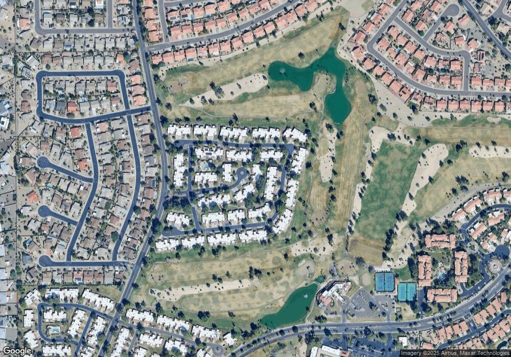
Map
Nearby Homes
- 19562 N 96th Ln Unit 80
- 9706 W Rimrock Dr Unit 95
- 9708 W Rimrock Dr Unit 96
- 9704 W Tonto Ln
- 9734 W Kerry Ln Unit 14
- 9727 W Kerry Ln
- 9455 W Behrend Dr
- 19400 N Westbrook Pkwy Unit 220
- 19400 N Westbrook Pkwy Unit 121
- 19400 N Westbrook Pkwy Unit 241
- 9839 W Utopia Rd
- 9832 W Behrend Dr
- 9646 W Taro Ln
- 9622 W Taro Ln
- 9856 W Rimrock Dr
- 19702 N 98th Ln
- 19420 N Westbrook Pkwy Unit 502
- 19093 N 97th Ln Unit 46
- 19605 N Pine Springs Dr
- 19120 N 98th Ln Unit 112
- 9615 W Oraibi Dr Unit 108
- 9621 W Oraibi Dr Unit 106
- 9613 W Oraibi Dr Unit 109
- 19560 N 96th Ln
- 19556 N 96th Ln
- 9623 W Oraibi Dr Unit 105
- 19558 N 96th Ln
- 19554 N 96th Ln
- 9625 W Oraibi Dr Unit 104
- 19552 N 96th Ln
- 9631 W Tonto Ln
- 9633 W Tonto Ln Unit 74
- 9627 W Oraibi Dr Unit 103
- 9625 W Tonto Ln Unit 77
- 9635 W Tonto Ln
- 9616 W Oraibi Dr Unit 112
- 9614 W Oraibi Dr
- 9623 W Tonto Ln Unit 78
- 9612 W Oraibi Dr Unit 110
- 9637 W Tonto Ln Unit 72