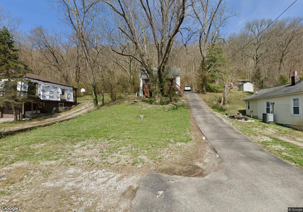
9618 Brower Rd North Bend, OH 45052
Estimated Value: $82,000 - $162,000
2
Beds
1
Bath
915
Sq Ft
$122/Sq Ft
Est. Value
About This Home
This home is located at 9618 Brower Rd, North Bend, OH 45052 and is currently estimated at $111,647, approximately $122 per square foot. 9618 Brower Rd is a home located in Hamilton County with nearby schools including Charles T. Young Elementary School, Taylor Middle School, and Taylor High School.
Ownership History
Date
Name
Owned For
Owner Type
Purchase Details
Closed on
Aug 24, 1999
Sold by
Danette Walters and Danette R
Bought by
Walters Danette R
Current Estimated Value
Purchase Details
Closed on
May 6, 1997
Sold by
Redding Nathan B and Redding Joan M
Bought by
Walters Danette
Home Financials for this Owner
Home Financials are based on the most recent Mortgage that was taken out on this home.
Original Mortgage
$33,250
Interest Rate
8.24%
Purchase Details
Closed on
May 3, 1994
Sold by
Pies Oliver and Pies Theresa
Bought by
Redding Nathan B and Redding Joan M
Create a Home Valuation Report for This Property
The Home Valuation Report is an in-depth analysis detailing your home's value as well as a comparison with similar homes in the area
Home Values in the Area
Average Home Value in this Area
Purchase History
| Date | Buyer | Sale Price | Title Company |
|---|---|---|---|
| Walters Danette R | -- | -- | |
| Walters Danette | $35,000 | -- | |
| Redding Nathan B | -- | -- |
Source: Public Records
Mortgage History
| Date | Status | Borrower | Loan Amount |
|---|---|---|---|
| Closed | Walters Danette | $33,250 |
Source: Public Records
Tax History Compared to Growth
Tax History
| Year | Tax Paid | Tax Assessment Tax Assessment Total Assessment is a certain percentage of the fair market value that is determined by local assessors to be the total taxable value of land and additions on the property. | Land | Improvement |
|---|---|---|---|---|
| 2024 | $897 | $19,128 | $6,125 | $13,003 |
| 2023 | $899 | $19,128 | $6,125 | $13,003 |
| 2022 | $915 | $15,254 | $6,073 | $9,181 |
| 2021 | $890 | $15,254 | $6,073 | $9,181 |
| 2020 | $900 | $15,254 | $6,073 | $9,181 |
| 2019 | $1,045 | $12,817 | $5,103 | $7,714 |
| 2018 | $785 | $12,817 | $5,103 | $7,714 |
| 2017 | $737 | $12,817 | $5,103 | $7,714 |
| 2016 | $631 | $11,284 | $5,460 | $5,824 |
| 2015 | $638 | $11,284 | $5,460 | $5,824 |
| 2014 | $645 | $11,284 | $5,460 | $5,824 |
| 2013 | $590 | $10,546 | $5,103 | $5,443 |
Source: Public Records
Map
Nearby Homes
- 2700 Rittenhouse Rd
- 36 Timberline Ct
- 7284 W Harrison Ave
- 143 Mount Nebo Rd
- 118 Mount Nebo Rd
- 100 Mount Nebo Rd
- 21 Wamsley Ave
- 9807 Miamiview Rd
- 42 Edinburgh Place Unit 42
- 101 E State Rd
- 10451 Dugan Gap Rd
- 110 Elliott St
- 0 Saint Annes Unit 1826785
- 9750 Hooven Ave
- 301 N Miami Ave
- The Jefferson Plan at North Pointe
- The Bristol Plan at North Pointe
- The Austin Plan at North Pointe
- The Rosewood Plan at North Pointe
- The Ella Marie Plan at North Pointe
- 9614 Brower Rd
- 9622 Brower Rd
- 9608 Brower Rd
- 9638 Brower Rd
- 9604 Brower Rd
- 9644 Brower Rd
- 9648 Brower Rd
- 9658 Brower Rd
- 9586 Brower Rd
- 2510 Rittenhouse Rd
- 9582 Brower Rd
- 9576 Brower Rd
- 9580 Brower Rd
- 9554 Brower Rd
- 2615 Cliff Rd
- 2545 Cliff Rd
- 2525 Cliff Rd
- 2521 Cliff Rd
- 2633 Cliff Rd
- 2559 Cliff Rd Unit C