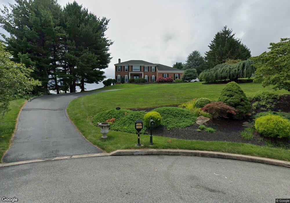
962 Brookside Ct West Chester, PA 19380
Estimated Value: $827,000 - $1,025,000
4
Beds
3
Baths
3,596
Sq Ft
$261/Sq Ft
Est. Value
About This Home
This home is located at 962 Brookside Ct, West Chester, PA 19380 and is currently estimated at $936,959, approximately $260 per square foot. 962 Brookside Ct is a home located in Chester County with nearby schools including Hillsdale Elementary School, E.N. Peirce Middle School, and Henderson High School.
Ownership History
Date
Name
Owned For
Owner Type
Purchase Details
Closed on
Oct 29, 1998
Sold by
Jones William C and Jones Mary Lyn
Bought by
Defrancesco Joseph and Defrancesco Karen
Current Estimated Value
Home Financials for this Owner
Home Financials are based on the most recent Mortgage that was taken out on this home.
Original Mortgage
$125,000
Interest Rate
6.64%
Create a Home Valuation Report for This Property
The Home Valuation Report is an in-depth analysis detailing your home's value as well as a comparison with similar homes in the area
Home Values in the Area
Average Home Value in this Area
Purchase History
| Date | Buyer | Sale Price | Title Company |
|---|---|---|---|
| Defrancesco Joseph | $355,000 | -- |
Source: Public Records
Mortgage History
| Date | Status | Borrower | Loan Amount |
|---|---|---|---|
| Closed | Defrancesco Joseph | $125,000 |
Source: Public Records
Tax History Compared to Growth
Tax History
| Year | Tax Paid | Tax Assessment Tax Assessment Total Assessment is a certain percentage of the fair market value that is determined by local assessors to be the total taxable value of land and additions on the property. | Land | Improvement |
|---|---|---|---|---|
| 2025 | $8,320 | $287,010 | $62,400 | $224,610 |
| 2024 | $8,320 | $287,010 | $62,400 | $224,610 |
| 2023 | $8,320 | $287,010 | $62,400 | $224,610 |
| 2022 | $8,212 | $287,010 | $62,400 | $224,610 |
| 2021 | $8,097 | $287,010 | $62,400 | $224,610 |
| 2020 | $8,034 | $286,610 | $62,410 | $224,200 |
| 2019 | $7,922 | $286,610 | $62,410 | $224,200 |
| 2018 | $7,754 | $286,610 | $62,410 | $224,200 |
| 2017 | $7,586 | $286,610 | $62,410 | $224,200 |
| 2016 | $6,259 | $286,610 | $62,410 | $224,200 |
| 2015 | $6,259 | $286,610 | $62,410 | $224,200 |
| 2014 | $6,259 | $286,610 | $62,410 | $224,200 |
Source: Public Records
Map
Nearby Homes
- 751 Mccardle Dr Unit 27
- 744 Mccardle Dr Unit 35
- 530 Legion Dr
- 112 Crosspointe Dr
- 806 Downingtown Pike
- 911 Baylowell Dr
- 505 S Maryland Ave
- 797 Tree Ln
- 1103 Judson Dr
- 626 N Matlack St
- 765 Bradford Terrace Unit 238
- 532 N Walnut St
- 303 Star Tavern Ln
- 324 Star Tavern Ln
- 345 Star Tavern Ln
- 368 Star Tavern Ln
- 723 Hillside Dr
- 303 W Washington St
- 204 Ford Cir
- 418 Hannum Ave
- 966 Brookside Ct
- 961 Brookside Ct
- 965 Brookside Ct
- 967 Rock Creek Rd
- 412 Chrislena Ln
- 408 Chrislena Ln
- 497 Taylors Mill Rd
- 507 Taylors Mill Rd
- 416 Chrislena Ln
- 503 Taylors Mill Rd
- 404 Chrislena Ln
- 960 N New St
- 965 Rock Creek Rd
- 420 Chrislena Ln
- 511 Taylors Mill Rd
- 402 Chrislena Ln
- 0 Taylors Mill Rd Unit 5545725
- 0 Taylors Mill Rd Unit 1008788816
- 961 Rock Creek Rd
- 424 Chrislena Ln