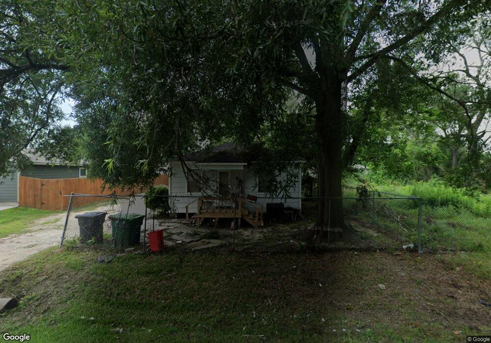
962 Ringold St Houston, TX 77088
Acres Homes NeighborhoodEstimated Value: $113,094 - $141,000
2
Beds
1
Bath
720
Sq Ft
$175/Sq Ft
Est. Value
About This Home
This home is located at 962 Ringold St, Houston, TX 77088 and is currently estimated at $126,024, approximately $175 per square foot. 962 Ringold St is a home located in Harris County with nearby schools including Osborne Elementary School, Williams Middle, and Booker T Washington Sr High.
Ownership History
Date
Name
Owned For
Owner Type
Purchase Details
Closed on
Mar 11, 2022
Sold by
Quincy & Shamarion Whitaker Revocable Tr
Bought by
Choi Stephen
Current Estimated Value
Purchase Details
Closed on
Mar 14, 2013
Sold by
Whitaker Quincy and Whitaker Shamarion
Bought by
The Quincy & Shamarion Whitaker Revocabl
Purchase Details
Closed on
Aug 25, 2004
Sold by
Sledge Blanchie K
Bought by
Whitaker Quincy and Whitaker Shamarion
Create a Home Valuation Report for This Property
The Home Valuation Report is an in-depth analysis detailing your home's value as well as a comparison with similar homes in the area
Home Values in the Area
Average Home Value in this Area
Purchase History
| Date | Buyer | Sale Price | Title Company |
|---|---|---|---|
| Choi Stephen | -- | Select Title Ins Agcy | |
| The Quincy & Shamarion Whitaker Revocabl | -- | None Available | |
| Whitaker Quincy | $17,000 | -- |
Source: Public Records
Tax History
| Year | Tax Paid | Tax Assessment Tax Assessment Total Assessment is a certain percentage of the fair market value that is determined by local assessors to be the total taxable value of land and additions on the property. | Land | Improvement |
|---|---|---|---|---|
| 2025 | $2,147 | $102,611 | $75,953 | $26,658 |
| 2024 | $2,147 | $102,611 | $75,953 | $26,658 |
| 2023 | $2,147 | $102,611 | $75,953 | $26,658 |
| 2022 | $1,972 | $89,564 | $59,280 | $30,284 |
| 2021 | $1,596 | $68,483 | $38,903 | $29,580 |
| 2020 | $1,420 | $58,627 | $33,345 | $25,282 |
| 2019 | $1,390 | $54,922 | $29,640 | $25,282 |
| 2018 | $1,051 | $41,535 | $17,145 | $24,390 |
| 2017 | $871 | $34,437 | $11,430 | $23,007 |
| 2016 | $871 | $34,437 | $11,430 | $23,007 |
| 2015 | $800 | $31,132 | $11,430 | $19,702 |
| 2014 | $800 | $31,132 | $11,430 | $19,702 |
Source: Public Records
Map
Nearby Homes
- 978 Saint Clair St
- 955 Ringold St
- 957 Ringold St
- 911 Fortune St
- 906 Fortune St
- 1035 Junell St
- 954 Junell St Unit A
- 884 Prosper St
- 882 Fortune St
- 882 Prosper St
- 956 Junell Unit A
- 0 St Clair Unit 40573378
- 1053 Marjorie St
- 1050 Marjorie St
- 1052 Marjorie St
- 991 Reverend b j Lewis Dr
- 887 Lucky St
- 1067 Reverend b j Lewis Dr
- 955 Lucky St
- 851 Prosper St
- 964 Ringold St Unit A
- 964 Ringold St
- 964 Ringold St Unit A-B
- 01 Knox St
- 999 Saint Clair St
- 997 Saint Clair St Unit A B
- 995 Saint Clair St Unit A-B
- 993 Saint Clair St
- 1007 Saint Clair St
- 968 Ringold St
- 956 Ringold St
- 8006 Knox St
- 985 Saint Clair St
- 953 Ringold St
- 0 Saint Clair St
- 1054 Saint Clair St
- 928 Prosper St
- 954 Ringold St
- 974 Ringold St
- 924 Prosper St
Your Personal Tour Guide
Ask me questions while you tour the home.