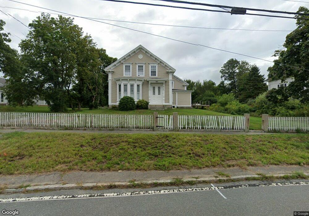
962 State Rd North Dartmouth, MA 02747
Smith Mills NeighborhoodEstimated Value: $712,000 - $732,864
5
Beds
3
Baths
3,179
Sq Ft
$228/Sq Ft
Est. Value
About This Home
This home is located at 962 State Rd, North Dartmouth, MA 02747 and is currently estimated at $726,216, approximately $228 per square foot. 962 State Rd is a home located in Bristol County with nearby schools including Dartmouth High School, Nazarene Christian Academy, and Bishop Stang High School.
Ownership History
Date
Name
Owned For
Owner Type
Purchase Details
Closed on
Nov 30, 2018
Sold by
Deutsche Bk Natl T Co Tr
Bought by
Malo Nnaemezie J and Malo Bahiyyih M
Current Estimated Value
Home Financials for this Owner
Home Financials are based on the most recent Mortgage that was taken out on this home.
Original Mortgage
$317,924
Outstanding Balance
$280,657
Interest Rate
4.9%
Mortgage Type
New Conventional
Estimated Equity
$445,559
Purchase Details
Closed on
Oct 5, 2016
Sold by
Baker Clarence
Bought by
Deutsche Bk Natl T Co
Purchase Details
Closed on
Jul 14, 2006
Sold by
Borges Daniel and Borges Nina L
Bought by
Baker Clarence
Home Financials for this Owner
Home Financials are based on the most recent Mortgage that was taken out on this home.
Original Mortgage
$277,000
Interest Rate
6.71%
Mortgage Type
Purchase Money Mortgage
Create a Home Valuation Report for This Property
The Home Valuation Report is an in-depth analysis detailing your home's value as well as a comparison with similar homes in the area
Home Values in the Area
Average Home Value in this Area
Purchase History
| Date | Buyer | Sale Price | Title Company |
|---|---|---|---|
| Malo Nnaemezie J | $279,825 | -- | |
| Deutsche Bk Natl T Co | $379,000 | -- | |
| Baker Clarence | $443,000 | -- |
Source: Public Records
Mortgage History
| Date | Status | Borrower | Loan Amount |
|---|---|---|---|
| Open | Malo Nnaemezie J | $317,924 | |
| Previous Owner | Baker Clarence | $277,000 | |
| Previous Owner | Baker Clarence | $116,000 | |
| Previous Owner | Baker Clarence | $200,000 |
Source: Public Records
Tax History Compared to Growth
Tax History
| Year | Tax Paid | Tax Assessment Tax Assessment Total Assessment is a certain percentage of the fair market value that is determined by local assessors to be the total taxable value of land and additions on the property. | Land | Improvement |
|---|---|---|---|---|
| 2025 | $5,330 | $588,900 | $171,500 | $417,400 |
| 2024 | $5,091 | $557,000 | $171,500 | $385,500 |
| 2023 | $5,120 | $528,400 | $171,500 | $356,900 |
| 2022 | $4,857 | $468,800 | $171,500 | $297,300 |
| 2021 | $4,896 | $452,100 | $166,600 | $285,500 |
| 2020 | $4,514 | $414,900 | $141,100 | $273,800 |
| 2019 | $4,012 | $369,800 | $132,600 | $237,200 |
| 2018 | $3,814 | $361,800 | $136,000 | $225,800 |
| 2017 | $3,803 | $357,400 | $128,300 | $229,100 |
| 2016 | $3,538 | $334,400 | $128,500 | $205,900 |
| 2015 | $3,379 | $321,500 | $112,700 | $208,800 |
| 2014 | $3,318 | $317,800 | $112,900 | $204,900 |
Source: Public Records
Map
Nearby Homes
- 29 Union Ave
- 3 Roller Coaster Way Unit Lot 1
- 461 Reed Rd
- 79 Center St
- 735 Reed Rd
- 56 Lakeside Ave
- 55 Lakeside Ave
- 16 S Berryman St
- 818 Reed Rd
- 15 S Breault St
- 380 Gifford Rd
- 565 Highland Ave
- 4 Main Rd
- 116 Gifford Rd
- 318 Old Westport Rd
- 310 Old Westport Rd
- 15 Stonewall Ave
- 53 Morton Ave
- 11 Vincent St
- 23 Donna St