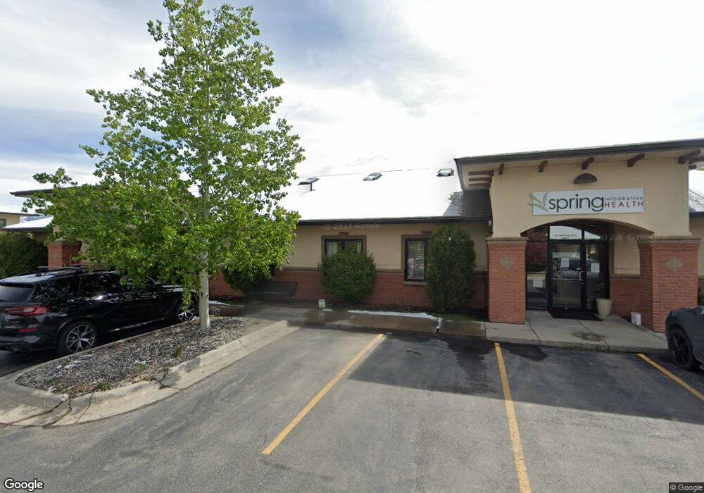
962 Stoneridge Dr Unit 1 Bozeman, MT 59718
North Bozeman NeighborhoodEstimated Value: $1,663,269
Studio
--
Bath
3,366
Sq Ft
$494/Sq Ft
Est. Value
About This Home
This home is located at 962 Stoneridge Dr Unit 1, Bozeman, MT 59718 and is currently estimated at $1,663,269, approximately $494 per square foot. 962 Stoneridge Dr Unit 1 is a home located in Gallatin County with nearby schools including Emily Dickinson School, Chief Joseph Middle School, and Gallatin High School.
Ownership History
Date
Name
Owned For
Owner Type
Purchase Details
Closed on
Dec 4, 2024
Sold by
Schaunaman Jill E
Bought by
Jspbstone Llc
Current Estimated Value
Purchase Details
Closed on
Jul 8, 2024
Sold by
Morning Owl Llc
Bought by
Cougar Properties Llc
Purchase Details
Closed on
Jan 29, 2021
Sold by
D A Properties Llc
Bought by
Schaunaman Jill and Cougar Properties Llc
Create a Home Valuation Report for This Property
The Home Valuation Report is an in-depth analysis detailing your home's value as well as a comparison with similar homes in the area
Home Values in the Area
Average Home Value in this Area
Purchase History
| Date | Buyer | Sale Price | Title Company |
|---|---|---|---|
| Jspbstone Llc | -- | None Listed On Document | |
| Jspbstone Llc | -- | None Listed On Document | |
| Cougar Properties Llc | -- | None Listed On Document | |
| Schaunaman Jill | -- | Security Title Company |
Source: Public Records
Tax History
| Year | Tax Paid | Tax Assessment Tax Assessment Total Assessment is a certain percentage of the fair market value that is determined by local assessors to be the total taxable value of land and additions on the property. | Land | Improvement |
|---|---|---|---|---|
| 2025 | $15,219 | $1,693,200 | $0 | $0 |
| 2024 | $14,290 | $1,533,400 | $0 | $0 |
| 2023 | $13,811 | $1,533,400 | $0 | $0 |
| 2022 | $13,290 | $1,238,000 | $0 | $0 |
| 2021 | $14,666 | $1,238,000 | $0 | $0 |
| 2020 | $14,154 | $1,184,900 | $0 | $0 |
| 2019 | $14,477 | $1,184,900 | $0 | $0 |
| 2018 | $13,214 | $1,002,200 | $0 | $0 |
| 2017 | $12,352 | $1,002,200 | $0 | $0 |
| 2016 | $13,718 | $1,040,100 | $0 | $0 |
| 2015 | $13,733 | $1,040,100 | $0 | $0 |
| 2014 | $14,777 | $922,350 | $0 | $0 |
Source: Public Records
Map
Nearby Homes
- TBD N 19th Ave
- 1802 Stevens St
- 1108 Brentwood Ave
- 1120 Brentwood Ave
- 2115 Durston Rd Unit 13
- 163 Wagon Train Trail
- 1779 Durston Rd
- 166 Wagon Train Trail
- 999 Jessie Way
- 760 Rogers Way Unit B
- 803 N 15th Ave
- 748 Rogers Way Unit A
- 748 Rogers Way Unit B
- 2401 Daws Dr Unit A,B,C,D
- 740 Rogers Way Unit C
- 740 Rogers Way Unit B
- 740 Rogers Way Unit A
- 894 Rogers Way
- 1605 Durston Rd Unit 43
- 611 N 15th Ave
- 962 Stoneridge Dr
- 950 Stoneridge Dr Unit 1
- 950 Stoneridge Dr Unit 950
- 950 Stoneridge Dr Unit 2
- 950 Stoneridge Dr
- 924 Stoneridge Dr
- 1924 W Stevens St
- 1924 W Stevens St Unit 201
- 1924 W Stevens St Unit 202
- 1933 N 22nd Ave
- 1039 Stoneridge Dr
- 1039 Stoneridge Dr Unit 2
- Lot 25 Stoneridge Dr
- 1925 N 22nd Ave Unit 200
- 1925 N 22nd Ave Unit 201
- 1925 N 22nd Ave
- 2020 Windsor St
- tbd Stoneridge Dr
- 1002 Mountain Ash Ave
- 1910 N 22nd Ave Unit 2 & 3
Your Personal Tour Guide
Ask me questions while you tour the home.