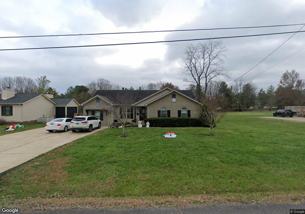
9620 E Fork Dr Murfreesboro, TN 37129
Estimated Value: $365,521 - $476,000
Studio
2
Baths
1,668
Sq Ft
$252/Sq Ft
Est. Value
About This Home
This home is located at 9620 E Fork Dr, Murfreesboro, TN 37129 and is currently estimated at $420,130, approximately $251 per square foot. 9620 E Fork Dr is a home located in Rutherford County with nearby schools including Wilson Elementary School, Siegel Middle School, and Siegel High School.
Ownership History
Date
Name
Owned For
Owner Type
Purchase Details
Closed on
Feb 23, 2021
Sold by
Keene Michael
Bought by
Keene Michael and Keene Kenzi M
Current Estimated Value
Home Financials for this Owner
Home Financials are based on the most recent Mortgage that was taken out on this home.
Original Mortgage
$150,000
Outstanding Balance
$110,418
Interest Rate
2.7%
Mortgage Type
New Conventional
Estimated Equity
$309,712
Purchase Details
Closed on
Aug 2, 2002
Sold by
Lee Duvall Deborah
Bought by
Michael Keene
Home Financials for this Owner
Home Financials are based on the most recent Mortgage that was taken out on this home.
Original Mortgage
$104,176
Interest Rate
6.52%
Purchase Details
Closed on
Jun 2, 1994
Sold by
Bradley Michael H
Bought by
Lee Duvall Deborah
Create a Home Valuation Report for This Property
The Home Valuation Report is an in-depth analysis detailing your home's value as well as a comparison with similar homes in the area
Home Values in the Area
Average Home Value in this Area
Purchase History
| Date | Buyer | Sale Price | Title Company |
|---|---|---|---|
| Keene Michael | -- | Accommodation | |
| Michael Keene | $105,000 | -- | |
| Lee Duvall Deborah | -- | -- |
Source: Public Records
Mortgage History
| Date | Status | Borrower | Loan Amount |
|---|---|---|---|
| Open | Keene Michael | $150,000 | |
| Closed | Lee Duvall Deborah | $104,176 |
Source: Public Records
Tax History
| Year | Tax Paid | Tax Assessment Tax Assessment Total Assessment is a certain percentage of the fair market value that is determined by local assessors to be the total taxable value of land and additions on the property. | Land | Improvement |
|---|---|---|---|---|
| 2025 | $1,529 | $81,475 | $13,750 | $67,725 |
| 2024 | $1,529 | $81,475 | $13,750 | $67,725 |
| 2023 | $1,529 | $81,475 | $13,750 | $67,725 |
| 2022 | $1,255 | $77,650 | $13,750 | $63,900 |
| 2021 | $1,161 | $52,325 | $15,000 | $37,325 |
| 2020 | $1,161 | $52,325 | $15,000 | $37,325 |
| 2019 | $1,020 | $45,950 | $8,625 | $37,325 |
| 2018 | $965 | $45,950 | $0 | $0 |
| 2017 | $817 | $30,475 | $0 | $0 |
| 2016 | $817 | $30,475 | $0 | $0 |
| 2015 | $817 | $30,475 | $0 | $0 |
| 2014 | $758 | $30,475 | $0 | $0 |
| 2013 | -- | $30,675 | $0 | $0 |
Source: Public Records
Map
Nearby Homes
- 2053 W Jefferson Pike Unit 2057
- 108 Braley Ct
- 7136 Cloverdale Way
- 308 Autumn Glen Dr
- 1480 Cutoff Rd
- 7425 Catherine St
- 106 Blue Fox Trail
- 9106 Dandelion Dr
- 205 Apricot Ln
- 3714 W Jefferson Pike
- 502 Beverly Randolph Dr
- 501 Tybarber Ave
- 109 Choir Ct
- 8988 Big Oak Dr
- 231 Tessa Grace Way
- 104 Juniper Dr
- 108 Amazonway Ridge
- 7822 Santos Dr
- 7816 Brenda Ln
- 0 Holly Grove Rd Unit RTC3046903
- 9628 E Fork Dr
- 9612 E Fork Dr
- 9619 E Fork Dr
- 9634 E Fork Dr
- 9633 E Fork Dr
- 9627 E Fork Dr
- 9642 E Fork Dr
- 9611 E Fork Dr
- 9604 E Fork Dr
- 2246 Stones Throw Dr
- 9641 E Fork Dr
- 9601 E Fork Dr
- 2240 Stones Throw Dr
- 9650 E Fork Dr
- 9649 E Fork Dr
- 2308 Stones Throw Dr
- 2230 Stones Throw Dr
- 9658 E Fork Dr
- 9657 E Fork Dr
- 2314 Stones Throw Dr
Your Personal Tour Guide
Ask me questions while you tour the home.