9621 S Lowell Rd Dewitt, MI 48820
Estimated Value: $499,000 - $585,000
3
Beds
3
Baths
2,418
Sq Ft
$227/Sq Ft
Est. Value
About This Home
This home is located at 9621 S Lowell Rd, Dewitt, MI 48820 and is currently estimated at $548,348, approximately $226 per square foot. 9621 S Lowell Rd is a home with nearby schools including St. Johns High School.
Ownership History
Date
Name
Owned For
Owner Type
Purchase Details
Closed on
Aug 7, 2019
Sold by
Rodewald Kyle D and Rodewald Danielle E
Bought by
Rodewald Kyle D and Rodewald Danille E
Current Estimated Value
Purchase Details
Closed on
Sep 7, 2005
Sold by
Sarvis Mark A and Sarvis Jennifer L
Bought by
Rodewald Kyle and Rodewald Danielle
Home Financials for this Owner
Home Financials are based on the most recent Mortgage that was taken out on this home.
Original Mortgage
$242,500
Interest Rate
3.42%
Mortgage Type
New Conventional
Create a Home Valuation Report for This Property
The Home Valuation Report is an in-depth analysis detailing your home's value as well as a comparison with similar homes in the area
Purchase History
| Date | Buyer | Sale Price | Title Company |
|---|---|---|---|
| Rodewald Kyle D | -- | None Available | |
| Rodewald Kyle | $392,500 | Midstate Title Agency Llc |
Source: Public Records
Mortgage History
| Date | Status | Borrower | Loan Amount |
|---|---|---|---|
| Previous Owner | Rodewald Kyle | $242,500 |
Source: Public Records
Tax History
| Year | Tax Paid | Tax Assessment Tax Assessment Total Assessment is a certain percentage of the fair market value that is determined by local assessors to be the total taxable value of land and additions on the property. | Land | Improvement |
|---|---|---|---|---|
| 2025 | $4,585 | $290,400 | $36,000 | $254,400 |
| 2024 | $20 | $246,600 | $36,000 | $210,600 |
| 2023 | $1,904 | $206,300 | $0 | $0 |
| 2022 | $4,131 | $184,600 | $29,300 | $155,300 |
| 2021 | $4,020 | $184,600 | $24,800 | $159,800 |
| 2020 | $3,896 | $188,500 | $20,300 | $168,200 |
| 2019 | $3,705 | $181,200 | $16,100 | $165,100 |
| 2018 | $0 | $140,200 | $15,000 | $125,200 |
| 2017 | -- | $145,500 | $14,100 | $131,400 |
| 2016 | $3,481 | $142,100 | $12,300 | $129,800 |
| 2015 | -- | $136,800 | $0 | $0 |
| 2011 | -- | $78,300 | $0 | $0 |
Source: Public Records
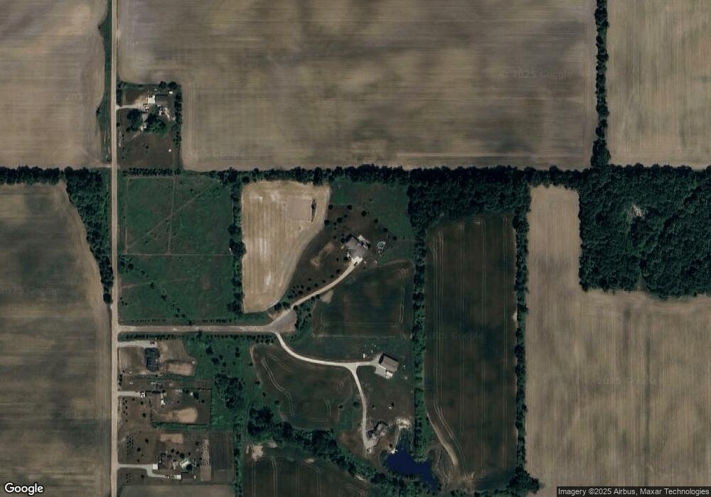
Map
Nearby Homes
- 6260 W Chadwick Rd
- 10880 S Francis Rd
- 4975 W Cutler Rd
- 14013 Ambrosia Ave
- 11740 Kalamata Dr
- 11625 Murano Dr Unit 63
- 3535 Stanwood Dr
- 3343 Silverspring Dr
- 3893 Sage Ln
- 1605 Stauffer Ln
- 3783 Wisteria Ln
- 4083 W Herbison Rd
- 513 N Scott St
- 00 Driftwood Dr
- 0 Driftwood Dr
- 603 Cherry St
- 7713 Jon Scott Dr
- 1226 S Geneva Dr
- 11471 S Bauer Rd
- 3421 Hawthorne Woods Pkwy
- 9645 S Lowell Rd
- 9655 S Lowell Rd
- 9475 S Lowell Rd
- 9675 S Lowell Rd
- 9715 S Lowell Rd
- 5800 W Chadwick Rd
- 5722 W Chadwick Rd
- 5870 W Chadwick Rd
- V/L W Chadwick Rd
- 9251 W Chadwick Rd
- 5600 W Chadwick Rd
- 5640 W Chadwick Rd
- 6020 W Chadwick Rd
- 0 W Chadwick Rd Unit 226395
- 0 W Chadwick Road St Unit 79618
- 0 W Chadwick Rd Unit 241267
- 0 W Chadwick Rd Unit 235110
- 0 W Chadwick Rd Unit 234703
- 0 W Chadwick Rd Unit 232681
- 5963 W Chadwick Rd
Your Personal Tour Guide
Ask me questions while you tour the home.