Estimated Value: $515,000 - $563,000
3
Beds
3
Baths
1,232
Sq Ft
$439/Sq Ft
Est. Value
About This Home
This home is located at 9623 Westport Ln, Burke, VA 22015 and is currently estimated at $540,520, approximately $438 per square foot. 9623 Westport Ln is a home located in Fairfax County with nearby schools including Kings Park Elementary School, Kings Glen Elementary School, and Lake Braddock Secondary School.
Ownership History
Date
Name
Owned For
Owner Type
Purchase Details
Closed on
Sep 21, 2016
Sold by
Chan Kin P
Bought by
Chan Kin P and Zhu Huifang
Current Estimated Value
Purchase Details
Closed on
Aug 16, 2004
Sold by
Falcon Walter D
Bought by
Chan Kin P and Chan,Ki Kan
Purchase Details
Closed on
May 3, 2002
Sold by
Willis Janice
Bought by
Falcon Walter
Home Financials for this Owner
Home Financials are based on the most recent Mortgage that was taken out on this home.
Original Mortgage
$197,800
Interest Rate
7.13%
Mortgage Type
FHA
Create a Home Valuation Report for This Property
The Home Valuation Report is an in-depth analysis detailing your home's value as well as a comparison with similar homes in the area
Home Values in the Area
Average Home Value in this Area
Purchase History
| Date | Buyer | Sale Price | Title Company |
|---|---|---|---|
| Chan Kin P | -- | Northwest Title & Escrow Llc | |
| Chan Kin P | $295,000 | -- | |
| Falcon Walter | $199,400 | -- |
Source: Public Records
Mortgage History
| Date | Status | Borrower | Loan Amount |
|---|---|---|---|
| Previous Owner | Falcon Walter | $197,800 |
Source: Public Records
Tax History Compared to Growth
Tax History
| Year | Tax Paid | Tax Assessment Tax Assessment Total Assessment is a certain percentage of the fair market value that is determined by local assessors to be the total taxable value of land and additions on the property. | Land | Improvement |
|---|---|---|---|---|
| 2025 | -- | $530,950 | $201,000 | $329,950 |
| 2024 | $5,745 | $495,920 | $190,000 | $305,920 |
| 2023 | $5,260 | $480,360 | $184,000 | $296,360 |
| 2022 | $5,406 | $472,800 | $178,000 | $294,800 |
| 2021 | $0 | $424,740 | $155,000 | $269,740 |
| 2020 | $5,378 | $404,380 | $144,000 | $260,380 |
| 2019 | $5,087 | $382,500 | $132,000 | $250,500 |
| 2018 | $4,976 | $374,110 | $132,000 | $242,110 |
| 2017 | $0 | $338,390 | $115,000 | $223,390 |
| 2016 | -- | $330,870 | $115,000 | $215,870 |
| 2015 | -- | $330,870 | $115,000 | $215,870 |
| 2014 | -- | $328,250 | $115,000 | $213,250 |
Source: Public Records
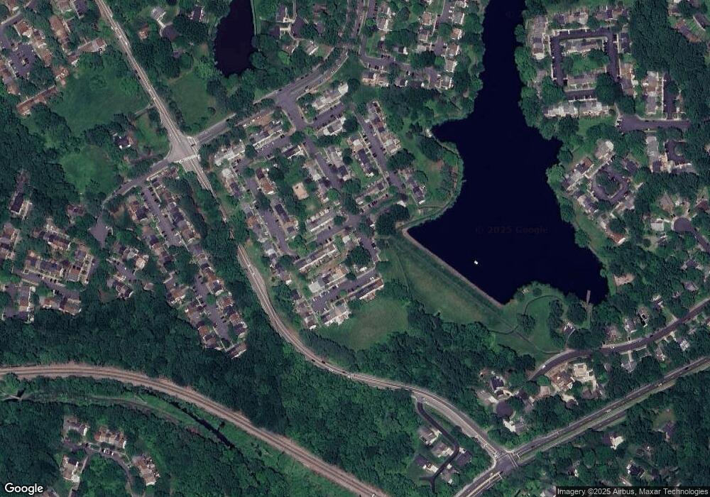
Map
Nearby Homes
- 9662 Westport Ln
- 5658 Sutherland Ct
- 5711 Crownleigh Ct
- 9513 Burdett Rd
- 5502 Saddlebrook Ct
- 5714 Mason Bluff Dr
- 5432 Brixham Ct
- 9769 High Water Ct
- 9710 Ashbourn Dr
- 5608 Doolittle St
- 9316 Lee St
- 9438 Wallingford Dr
- 5307 Richardson Dr
- 9909 Lakepointe Dr
- 5838 High Bluff Ct
- 9340 Burke Rd
- 9323 Kite St
- 6003 Lincolnwood Ct
- 9104 Parliament Dr
- 5137 Richardson Dr
- 9621 Westport Ln
- 9619 Westport Ln
- 9617 Westport Ln
- 5584 Hollins Ln
- 9627 Westport Ln
- 9629 Westport Ln
- 5582 Hollins Ln
- 9633 Westport Ln
- 5580 Hollins Ln
- 9631 Westport Ln
- 5572 Kendrick Ln
- 9635 Westport Ln
- 5578 Hollins Ln
- 9637 Westport Ln
- 5589 Hollins Ln
- 5587 Hollins Ln
- 5570 Kendrick Ln
- 5585 Hollins Ln
- 5583 Hollins Ln
- 5576 Hollins Ln