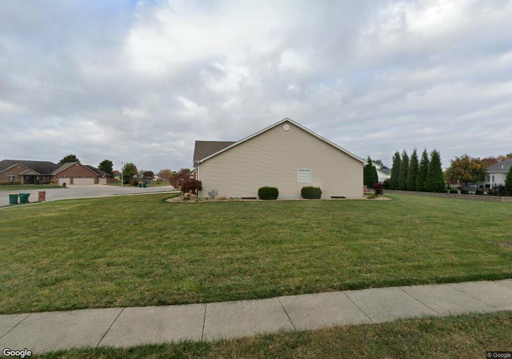
9624 Pheasant Bend Mascoutah, IL 62258
Estimated Value: $511,000 - $601,205
--
Bed
--
Bath
2,440
Sq Ft
$226/Sq Ft
Est. Value
About This Home
This home is located at 9624 Pheasant Bend, Mascoutah, IL 62258 and is currently estimated at $551,051, approximately $225 per square foot. 9624 Pheasant Bend is a home located in St. Clair County with nearby schools including Mascoutah High School and Holy Childhood of Jesus School.
Ownership History
Date
Name
Owned For
Owner Type
Purchase Details
Closed on
Feb 12, 2014
Sold by
Florek Homes Inc
Bought by
Klein Michael R and Klein Angela K
Current Estimated Value
Create a Home Valuation Report for This Property
The Home Valuation Report is an in-depth analysis detailing your home's value as well as a comparison with similar homes in the area
Home Values in the Area
Average Home Value in this Area
Purchase History
| Date | Buyer | Sale Price | Title Company |
|---|---|---|---|
| Klein Michael R | $50,000 | Advanced Title Solutions Inc | |
| Florek Homes Inc | -- | Advanced Title Solutions Inc |
Source: Public Records
Tax History Compared to Growth
Tax History
| Year | Tax Paid | Tax Assessment Tax Assessment Total Assessment is a certain percentage of the fair market value that is determined by local assessors to be the total taxable value of land and additions on the property. | Land | Improvement |
|---|---|---|---|---|
| 2024 | $12,320 | $174,040 | $33,790 | $140,250 |
| 2023 | $11,725 | $159,057 | $30,881 | $128,176 |
| 2022 | $11,574 | $144,755 | $28,104 | $116,651 |
| 2021 | $11,672 | $143,588 | $27,219 | $116,369 |
| 2020 | $11,172 | $134,687 | $25,532 | $109,155 |
| 2019 | $10,907 | $134,687 | $25,532 | $109,155 |
| 2018 | $10,675 | $131,069 | $24,846 | $106,223 |
| 2017 | $217 | $119,686 | $22,999 | $96,687 |
| 2016 | $10,065 | $117,964 | $22,668 | $95,296 |
| 2014 | $29 | $357 | $357 | $0 |
| 2013 | $26 | $352 | $352 | $0 |
Source: Public Records
Map
Nearby Homes
- 9596 Mallard Dr
- 1192 Widgeon Dr
- 1112 N County Rd
- 9604 Weatherby St
- 625 Fallen Timber Ln
- 9713 Seneca Ct
- 136 Falling Leaf Way
- 9715 Winchester St
- 228 Falling Leaf Way
- 344 Douglas Ave Unit B
- 9918 Fuesser Rd
- 507 Jackson St
- 1135 Lear Ln
- 1204 Lear Ln
- 1153 Gulfstream Way
- 1125 Gulfstream Way
- 1117 Gulfstream Way
- 500 N 9th St
- 1205 W Madison St
- 1032 W Madison St
- 9629 Teal Ct
- 9620 Pheasant Bend
- 9625 Pheasant Bend
- 9629 Pheasant Bend
- 9625 Teal Ct
- 9633 Teal Ct
- 9621 Pheasant Bend
- 9633 Pheasant Bend
- 9616 Pheasant Bend
- 1147 Whimbrel Run
- 1185 Widgeon Dr
- 9599 Mallard Dr
- 1146 Whimbrel Run
- 1181 Widgeon Dr
- 9632 Teal Ct
- 9595 Mallard Dr
- 1142 Whimbrel Run
- 9617 Pheasant Bend
- 9617 Pheasant Bend Rd
- 9628 Teal Ct