9625 S Monroe St Brodhead, WI 53520
Estimated Value: $237,000 - $313,000
3
Beds
1
Bath
1,112
Sq Ft
$242/Sq Ft
Est. Value
About This Home
This home is located at 9625 S Monroe St, Brodhead, WI 53520 and is currently estimated at $268,899, approximately $241 per square foot. 9625 S Monroe St is a home located in Rock County with nearby schools including Ronald R. Albrecht Elementary School, Brodhead Middle School, and Brodhead High School.
Ownership History
Date
Name
Owned For
Owner Type
Purchase Details
Closed on
Nov 14, 2022
Sold by
Lamb Jodi A and Lamb Y
Bought by
Lamb James T and Lamb Y
Current Estimated Value
Purchase Details
Closed on
Feb 1, 2011
Sold by
Jacobson Kelly A
Bought by
Mcadory Gary P
Home Financials for this Owner
Home Financials are based on the most recent Mortgage that was taken out on this home.
Original Mortgage
$80,000
Interest Rate
4.81%
Mortgage Type
Purchase Money Mortgage
Create a Home Valuation Report for This Property
The Home Valuation Report is an in-depth analysis detailing your home's value as well as a comparison with similar homes in the area
Home Values in the Area
Average Home Value in this Area
Purchase History
| Date | Buyer | Sale Price | Title Company |
|---|---|---|---|
| Lamb James T | -- | -- | |
| Mcadory Gary P | $55,000 | None Available |
Source: Public Records
Mortgage History
| Date | Status | Borrower | Loan Amount |
|---|---|---|---|
| Previous Owner | Mcadory Gary P | $80,000 | |
| Closed | Lamb James T | -- |
Source: Public Records
Tax History Compared to Growth
Tax History
| Year | Tax Paid | Tax Assessment Tax Assessment Total Assessment is a certain percentage of the fair market value that is determined by local assessors to be the total taxable value of land and additions on the property. | Land | Improvement |
|---|---|---|---|---|
| 2024 | $1,752 | $127,500 | $8,700 | $118,800 |
| 2023 | $3,534 | $237,200 | $237,200 | $0 |
| 2022 | $1,433 | $95,800 | $7,500 | $88,300 |
| 2021 | $3,714 | $215,000 | $215,000 | $0 |
| 2020 | $1,419 | $95,800 | $7,500 | $88,300 |
| 2019 | $1,340 | $95,800 | $7,500 | $88,300 |
| 2018 | $3,552 | $213,300 | $213,300 | $0 |
| 2017 | $1,378 | $84,400 | $7,500 | $76,900 |
| 2016 | $1,568 | $84,400 | $7,500 | $76,900 |
Source: Public Records
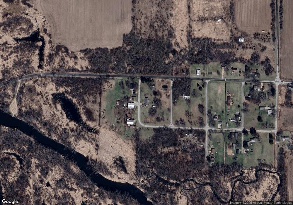
Map
Nearby Homes
- 7616 S Nelson Rd
- N197 Mount Hope Rd
- 17278 Laube Rd
- N2741 & N2721 Highway 11
- 6 Acres 25th St
- N2751 County Road Gg
- 1207 21st St
- W721 Ten Eyck Rd Unit 5R
- 11742 W Brandherm Rd
- 207 8th St
- 605 E 4th Ave
- 701 E 2nd Ave
- Lot 2 2nd St
- 1629 Edgewood Ave
- 1585 Edgewood Ave
- 1628 Edgewood Ave
- 1637 Larchmont Rd
- 1604 Larchmont Rd
- 10081 Haas Rd
- 1225 Lake Summerset Rd
- 9610 S Monroe St
- 9604 S Pearl St
- 9603 S Pearl St
- 9602 S Main St
- 16852 W Pleasant St
- 9723 S Main St
- 16852 W Beloit Newark Rd
- 16840 W Pleasant St
- 16843 W Pleasant St
- 9720 S Badger St
- 9711 S Badger St
- 9617 S Badger St
- 16816 W Beloit Newark Rd
- 16813 W Beloit Newark Rd
- 9546 S Avon Store Rd
- 9622 S Madison St
- 9705 S Madison St
- 16741 W Beloit Newark Rd
- 16719 W Beloit Newark Rd
- 16615 W Beloit Newark Rd