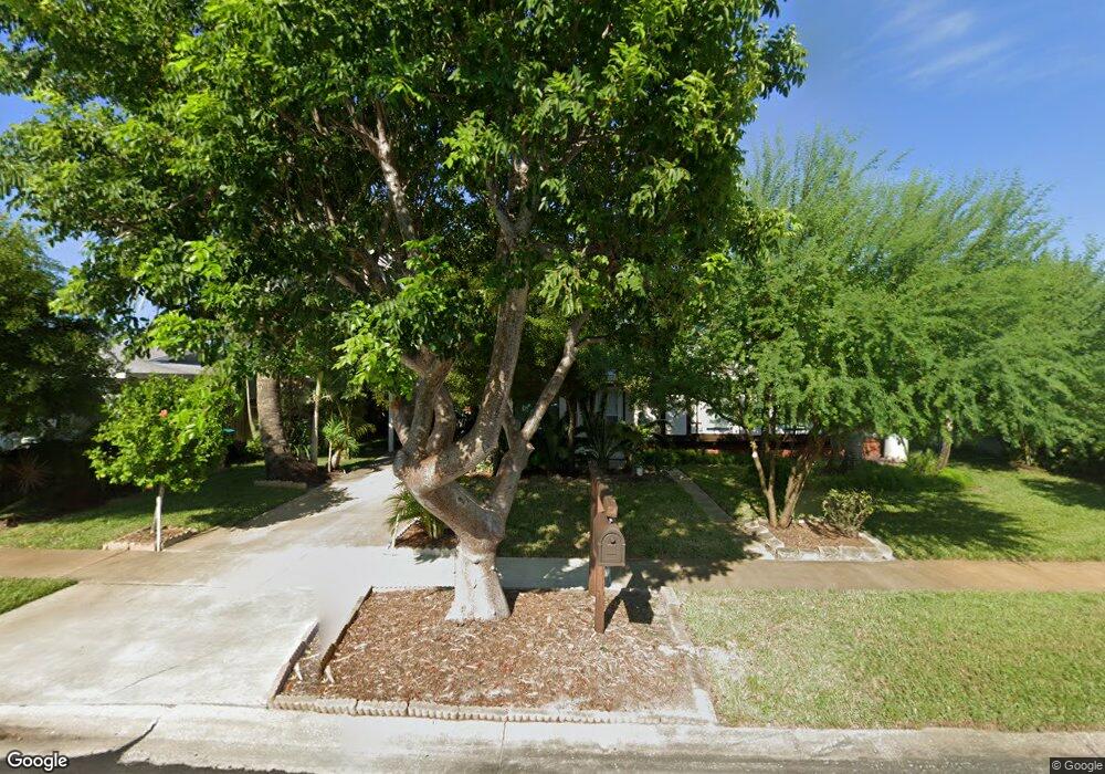
963 Burn Dr NE Palm Bay, FL 32905
Estimated Value: $215,580 - $240,000
3
Beds
2
Baths
1,079
Sq Ft
$211/Sq Ft
Est. Value
About This Home
This home is located at 963 Burn Dr NE, Palm Bay, FL 32905 and is currently estimated at $227,895, approximately $211 per square foot. 963 Burn Dr NE is a home located in Brevard County with nearby schools including Palm Bay Elementary School, Stone Magnet Middle School, and Palm Bay Magnet Senior High School.
Ownership History
Date
Name
Owned For
Owner Type
Purchase Details
Closed on
Jul 29, 2004
Sold by
Dorsey Richard K and Dorsey Karen
Bought by
Dorsey Richard K
Current Estimated Value
Home Financials for this Owner
Home Financials are based on the most recent Mortgage that was taken out on this home.
Original Mortgage
$50,400
Interest Rate
6.19%
Mortgage Type
New Conventional
Create a Home Valuation Report for This Property
The Home Valuation Report is an in-depth analysis detailing your home's value as well as a comparison with similar homes in the area
Home Values in the Area
Average Home Value in this Area
Purchase History
| Date | Buyer | Sale Price | Title Company |
|---|---|---|---|
| Dorsey Richard K | -- | Peninsula Title Services Llc |
Source: Public Records
Mortgage History
| Date | Status | Borrower | Loan Amount |
|---|---|---|---|
| Closed | Dorsey Richard K | $50,400 |
Source: Public Records
Tax History Compared to Growth
Tax History
| Year | Tax Paid | Tax Assessment Tax Assessment Total Assessment is a certain percentage of the fair market value that is determined by local assessors to be the total taxable value of land and additions on the property. | Land | Improvement |
|---|---|---|---|---|
| 2025 | $247 | $37,620 | -- | -- |
| 2024 | $229 | $36,560 | -- | -- |
| 2023 | $229 | $35,500 | $0 | $0 |
| 2022 | $208 | $34,470 | $0 | $0 |
| 2021 | $195 | $33,470 | $0 | $0 |
| 2020 | $186 | $33,010 | $0 | $0 |
| 2019 | $327 | $32,270 | $0 | $0 |
| 2018 | $320 | $31,670 | $0 | $0 |
| 2017 | $336 | $31,020 | $0 | $0 |
| 2016 | $174 | $30,390 | $9,000 | $21,390 |
| 2015 | $172 | $30,180 | $9,000 | $21,180 |
| 2014 | $169 | $29,940 | $9,000 | $20,940 |
Source: Public Records
Map
Nearby Homes
- 945 Burn Dr NE
- 920 Burn Dr NE
- 1069 Bacon Cir NE
- 919 Darwin Ln NE
- 915 Bianca Dr NE
- 3019 Garden Terrace NE
- 3000 Garden Terrace NE
- 2996 Garden Terrace NE
- 858 Bianca Dr NE
- 1107 Cable Ln NE
- 2539 Port Malabar Blvd NE
- 1011 Bianca Dr NE
- 890 Vignoles Ave NE Unit 3
- 890 Vignoles Ave NE Unit 6
- 1064 Cabot Dr NE
- 817 Bianca Dr NE
- 943 Canal Ln NE
- 898 Hampton Dr NE
- 767 Badger Dr NE
- 941 Vangi Ln NE
- 969 Burn Dr NE
- 951 Burn Dr NE Unit 2
- 951 Burn Dr NE
- 962 Burn Dr NE
- 956 Burn Dr NE
- 975 Burn Dr NE
- 968 Burn Dr NE
- 950 Burn Dr NE
- 981 Burn Dr NE
- 974 Burn Dr NE
- 944 Burn Dr NE
- 979 Darwin Ln NE
- 973 Darwin Ln NE
- 939 Burn Dr NE
- 990 Bacon Cir NE
- 985 Darwin Ln NE
- 980 Bacon Cir NE
- 967 Darwin Ln NE
- 998 Bacon Cir NE