963 Ponus Ridge New Canaan, CT 06840
Estimated Value: $3,281,000 - $3,712,000
5
Beds
5
Baths
6,354
Sq Ft
$549/Sq Ft
Est. Value
About This Home
This home is located at 963 Ponus Ridge, New Canaan, CT 06840 and is currently estimated at $3,486,374, approximately $548 per square foot. 963 Ponus Ridge is a home located in Fairfield County with nearby schools including West Elementary School, Saxe Middle School, and New Canaan High School.
Ownership History
Date
Name
Owned For
Owner Type
Purchase Details
Closed on
Nov 7, 2022
Sold by
Wyman Alice C
Bought by
Peter H Wyman Rt
Current Estimated Value
Purchase Details
Closed on
Feb 16, 2010
Sold by
Wyman Peter H
Bought by
Wyman Alice C
Purchase Details
Closed on
Jul 7, 1995
Sold by
Curry Philip J and Curry Maureen C
Bought by
Wyman Peter H and Wyman Alice C
Create a Home Valuation Report for This Property
The Home Valuation Report is an in-depth analysis detailing your home's value as well as a comparison with similar homes in the area
Home Values in the Area
Average Home Value in this Area
Purchase History
| Date | Buyer | Sale Price | Title Company |
|---|---|---|---|
| Peter H Wyman Rt | -- | None Available | |
| Wyman Alice C | -- | -- | |
| Wyman Peter H | $910,000 | -- |
Source: Public Records
Mortgage History
| Date | Status | Borrower | Loan Amount |
|---|---|---|---|
| Previous Owner | Wyman Peter H | $586,982 | |
| Previous Owner | Wyman Peter H | $654,000 |
Source: Public Records
Tax History Compared to Growth
Tax History
| Year | Tax Paid | Tax Assessment Tax Assessment Total Assessment is a certain percentage of the fair market value that is determined by local assessors to be the total taxable value of land and additions on the property. | Land | Improvement |
|---|---|---|---|---|
| 2025 | $30,490 | $1,826,860 | $877,800 | $949,060 |
| 2024 | $29,486 | $1,826,860 | $877,800 | $949,060 |
| 2023 | $32,747 | $1,729,000 | $757,050 | $971,950 |
| 2022 | $31,762 | $1,729,000 | $757,050 | $971,950 |
| 2021 | $31,399 | $1,729,000 | $757,050 | $971,950 |
| 2020 | $31,399 | $1,729,000 | $757,050 | $971,950 |
| 2019 | $31,537 | $1,729,000 | $757,050 | $971,950 |
| 2018 | $32,440 | $1,912,750 | $779,030 | $1,133,720 |
| 2017 | $30,425 | $1,825,110 | $779,030 | $1,046,080 |
| 2016 | $29,768 | $1,825,110 | $779,030 | $1,046,080 |
| 2015 | $30,224 | $1,825,110 | $779,030 | $1,046,080 |
| 2014 | $28,362 | $1,825,110 | $779,030 | $1,046,080 |
Source: Public Records
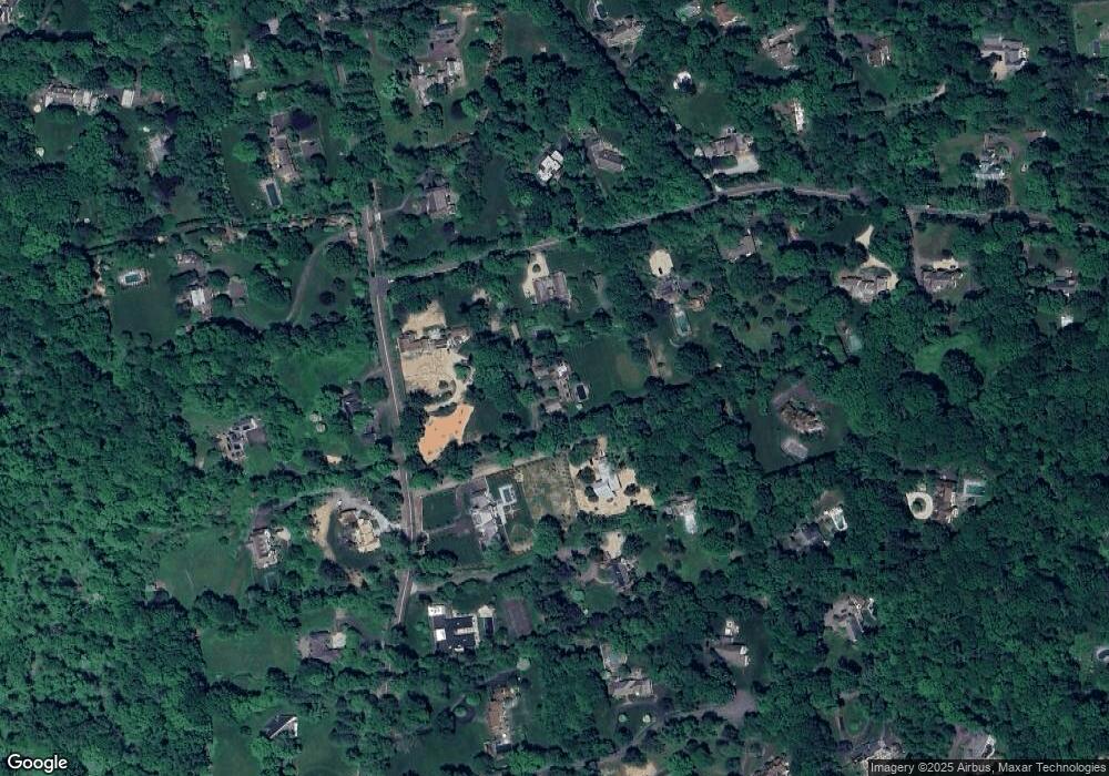
Map
Nearby Homes
- 276 Greenley Rd
- 298 Greenley Rd
- 30 Thornwood Rd
- 49 Pinner Ln
- 470 Frogtown Rd Unit Lot 1
- 105 N Stamford Rd
- 19 Skymeadow Dr
- 474 Ponus Ridge
- 51 Reeder Ln
- 148 W Hills Rd
- 40 Hoyclo Rd
- 1580 Ponus Ridge
- 104 Ramhorne Rd
- 565 Oenoke Ridge
- 42 Hannahs Rd
- 204 Parade Hill Rd
- 197 Park St Unit 13
- 501 Woodbine Rd
- 113 Skyview Ln
- 518 Woodbine Rd
- 959 Ponus Ridge
- 440 Wahackme Rd
- 991 Ponus Ridge
- 955 Ponus Ridge
- 955 Ponus Ridge Rd
- 418 Wahackme Rd
- 941 Ponus Ridge
- 941 Ponus Ridge
- 435 Wahackme Rd
- 1021 Ponus Ridge
- 388 Wahackme Rd
- 457 Wahackme Rd
- 423 Wahackme Rd
- 982 Ponus Ridge
- 398 Wahackme Rd
- 954 Ponus Ridge
- 88 Arrowhead Trail
- 64 Arrowhead Trail
- 370 Wahackme Rd
- 82 Arrowhead Trail