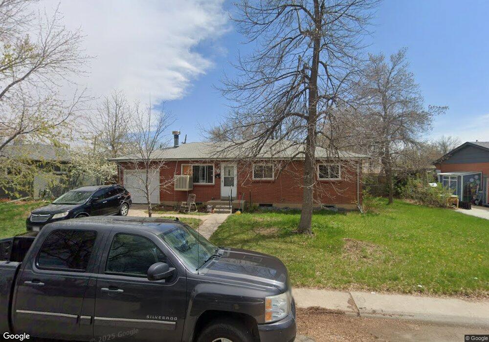
9630 W 63rd Ave Arvada, CO 80004
Alta Vista NeighborhoodEstimated Value: $571,961 - $626,000
3
Beds
3
Baths
1,146
Sq Ft
$524/Sq Ft
Est. Value
About This Home
This home is located at 9630 W 63rd Ave, Arvada, CO 80004 and is currently estimated at $600,240, approximately $523 per square foot. 9630 W 63rd Ave is a home located in Jefferson County with nearby schools including Lawrence Elementary School, Arvada K-8, and Arvada High School.
Ownership History
Date
Name
Owned For
Owner Type
Purchase Details
Closed on
Sep 17, 2015
Sold by
Stearns Laura L
Bought by
The Stearns Family Trust
Current Estimated Value
Purchase Details
Closed on
Aug 5, 2005
Sold by
State Farm Fire & Casualty Co
Bought by
Stearns Laura L
Create a Home Valuation Report for This Property
The Home Valuation Report is an in-depth analysis detailing your home's value as well as a comparison with similar homes in the area
Home Values in the Area
Average Home Value in this Area
Purchase History
| Date | Buyer | Sale Price | Title Company |
|---|---|---|---|
| The Stearns Family Trust | -- | None Available | |
| Stearns Laura L | -- | -- |
Source: Public Records
Tax History Compared to Growth
Tax History
| Year | Tax Paid | Tax Assessment Tax Assessment Total Assessment is a certain percentage of the fair market value that is determined by local assessors to be the total taxable value of land and additions on the property. | Land | Improvement |
|---|---|---|---|---|
| 2024 | $3,193 | $32,915 | $17,078 | $15,837 |
| 2023 | $3,193 | $32,915 | $17,078 | $15,837 |
| 2022 | $2,637 | $26,929 | $12,415 | $14,514 |
| 2021 | $2,681 | $27,703 | $12,772 | $14,931 |
| 2020 | $2,462 | $25,518 | $11,177 | $14,341 |
| 2019 | $2,429 | $25,518 | $11,177 | $14,341 |
| 2018 | $2,091 | $21,358 | $6,304 | $15,054 |
| 2017 | $1,914 | $21,358 | $6,304 | $15,054 |
| 2016 | $1,670 | $17,551 | $5,539 | $12,012 |
| 2015 | $1,447 | $17,551 | $5,539 | $12,012 |
| 2014 | $1,447 | $14,289 | $4,872 | $9,417 |
Source: Public Records
Map
Nearby Homes
- 9667 W 63rd Ave
- 9656 Rensselaer Dr
- 6138 Iris Way
- 6371 Brooks Dr
- 6376 Brooks Dr
- 9175 Cole Dr
- 6532 Kipling St
- 6580 Independence Way
- 6572 Kipling St
- 6009 Lee St
- 6114 Miller St
- 6077 Flower St
- 10211 W 59th Place
- 9487 W 58th Ave Unit B
- 6455 Field St
- 9457 W 58th Ave Unit D
- 9457 W 58th Ave Unit B
- 6250 Everett Ct Unit E
- 6240 Everett Ct Unit F
- 9546 W 58th Ave Unit B
- 9650 W 63rd Ave
- 9610 W 63rd Ave
- 9650 W 63rd Ave
- 9615 W 62nd Place
- 9605 W 62nd Place
- 9635 W 62nd Place
- 9637 W 63rd Ave
- 9600 W 63rd Ave
- 9660 W 63rd Ave
- 9657 W 63rd Ave
- 9627 W 63rd Ave
- 9655 W 62nd Place
- 9617 W 63rd Ave
- 9670 W 63rd Ave
- 6199 Independence St
- 9642 W 63rd Place
- 9652 W 63rd Place
- 9607 W 63rd Ave
- 9675 W 62nd Place
- 9632 W 63rd Place