9631 W Gambit Trail Peoria, AZ 85383
Estimated Value: $916,785 - $1,038,000
--
Bed
5
Baths
4,633
Sq Ft
$216/Sq Ft
Est. Value
About This Home
This home is located at 9631 W Gambit Trail, Peoria, AZ 85383 and is currently estimated at $1,000,196, approximately $215 per square foot. 9631 W Gambit Trail is a home located in Maricopa County with nearby schools including West Wing Elementary School, Mountain Ridge High School, and BASIS Peoria Primary.
Ownership History
Date
Name
Owned For
Owner Type
Purchase Details
Closed on
Apr 15, 2004
Sold by
Smith Devney
Bought by
Smith Jay and Smith Devney Marie
Current Estimated Value
Home Financials for this Owner
Home Financials are based on the most recent Mortgage that was taken out on this home.
Original Mortgage
$333,700
Outstanding Balance
$134,479
Interest Rate
3.62%
Mortgage Type
Purchase Money Mortgage
Estimated Equity
$865,717
Purchase Details
Closed on
Dec 16, 2002
Sold by
Hancock Mth Communities Inc
Bought by
Smith Devney
Purchase Details
Closed on
Apr 25, 2002
Sold by
Taro Properties Arizona I Llc
Bought by
Hancock Mth Builders Inc
Create a Home Valuation Report for This Property
The Home Valuation Report is an in-depth analysis detailing your home's value as well as a comparison with similar homes in the area
Home Values in the Area
Average Home Value in this Area
Purchase History
| Date | Buyer | Sale Price | Title Company |
|---|---|---|---|
| Smith Jay | -- | Transnation Title Ins Co | |
| Smith Devney | $396,448 | Stewart Title & Trust | |
| Hancock Mth Builders Inc | $240,900 | First American Title |
Source: Public Records
Mortgage History
| Date | Status | Borrower | Loan Amount |
|---|---|---|---|
| Open | Smith Jay | $333,700 | |
| Closed | Smith Jay | $63,500 |
Source: Public Records
Tax History Compared to Growth
Tax History
| Year | Tax Paid | Tax Assessment Tax Assessment Total Assessment is a certain percentage of the fair market value that is determined by local assessors to be the total taxable value of land and additions on the property. | Land | Improvement |
|---|---|---|---|---|
| 2025 | $4,860 | $57,382 | -- | -- |
| 2024 | $4,774 | $54,649 | -- | -- |
| 2023 | $4,774 | $73,550 | $14,710 | $58,840 |
| 2022 | $4,591 | $54,600 | $10,920 | $43,680 |
| 2021 | $4,751 | $52,000 | $10,400 | $41,600 |
| 2020 | $4,663 | $49,700 | $9,940 | $39,760 |
| 2019 | $4,517 | $47,760 | $9,550 | $38,210 |
| 2018 | $4,357 | $47,320 | $9,460 | $37,860 |
| 2017 | $4,192 | $45,280 | $9,050 | $36,230 |
| 2016 | $3,942 | $43,750 | $8,750 | $35,000 |
| 2015 | $3,579 | $44,410 | $8,880 | $35,530 |
Source: Public Records
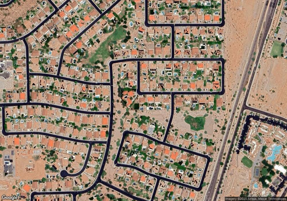
Map
Nearby Homes
- 9660 W Bent Tree Dr
- 9547 W Bent Tree Dr
- 27904 N 96th Dr Unit 2
- 7966 W Rowel Rd
- 7954 W Rowel Rd
- 7807 W Tether Trail
- 7818 W Tether Trail
- 9503 W Blue Sky Dr Unit 2
- 9724 W Running Deer Trail
- 27821 N 98th Dr
- 9347 W Plum Rd
- 9581 W Redbird Rd
- 9569 W Redbird Rd
- 9223 W Hedge Hog Place
- 9238 W Buckhorn Trail
- 9185 W Mine Trail
- 9258 W White Feather Ln
- 27344 N 91st Ln
- 9165 W Mine Trail
- 9324 W Molly Ln
- 9611 W Gambit Trail
- 27706 N 96th Dr
- 9591 W Gambit Trail
- 9638 W Bent Tree Dr
- 9626 W Gambit Trail
- 9616 W Bent Tree Dr
- 27734 N 96th Dr
- 9571 W Gambit Trail
- 9594 W Bent Tree Dr
- 9586 W Gambit Trail
- 27762 N 96th Dr
- 9712 W Hedge Hog Place Unit 2
- 9572 W Bent Tree Dr
- 9625 W Oberlin Way
- 9566 W Gambit Trail
- 9711 W Black Hill Rd
- 9605 W Oberlin Way
- 27790 N 96th Dr
- 9713 W Hedge Hog Place
- 9553 W Gambit Trail