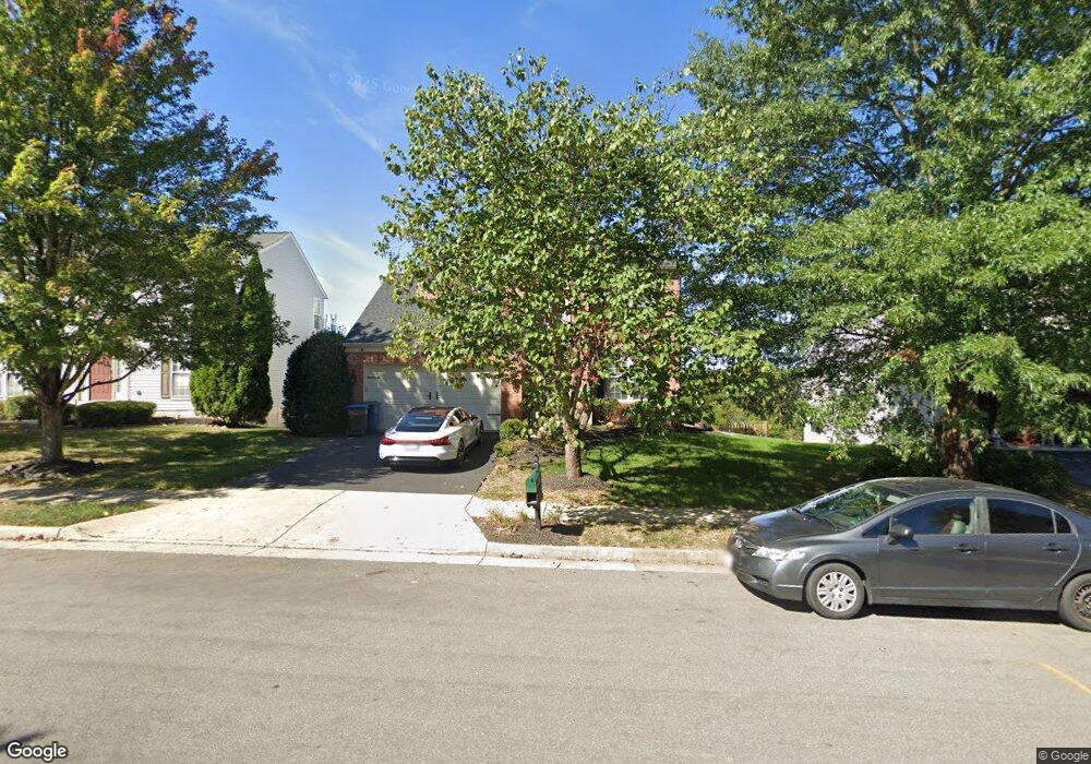
9632 Laurencekirk Place Bristow, VA 20136
Braemar NeighborhoodEstimated Value: $743,392 - $770,000
4
Beds
3
Baths
2,513
Sq Ft
$303/Sq Ft
Est. Value
About This Home
This home is located at 9632 Laurencekirk Place, Bristow, VA 20136 and is currently estimated at $760,348, approximately $302 per square foot. 9632 Laurencekirk Place is a home located in Prince William County with nearby schools including Patriot High School, T. Clay Wood Elementary School, and E.H. Marsteller Middle School.
Ownership History
Date
Name
Owned For
Owner Type
Purchase Details
Closed on
Oct 21, 2004
Sold by
N V R Inc
Bought by
Grant Jeffery
Current Estimated Value
Home Financials for this Owner
Home Financials are based on the most recent Mortgage that was taken out on this home.
Original Mortgage
$435,200
Outstanding Balance
$216,688
Interest Rate
5.85%
Mortgage Type
New Conventional
Estimated Equity
$543,660
Create a Home Valuation Report for This Property
The Home Valuation Report is an in-depth analysis detailing your home's value as well as a comparison with similar homes in the area
Home Values in the Area
Average Home Value in this Area
Purchase History
| Date | Buyer | Sale Price | Title Company |
|---|---|---|---|
| Grant Jeffery | $544,025 | -- |
Source: Public Records
Mortgage History
| Date | Status | Borrower | Loan Amount |
|---|---|---|---|
| Open | Grant Jeffery | $435,200 |
Source: Public Records
Tax History Compared to Growth
Tax History
| Year | Tax Paid | Tax Assessment Tax Assessment Total Assessment is a certain percentage of the fair market value that is determined by local assessors to be the total taxable value of land and additions on the property. | Land | Improvement |
|---|---|---|---|---|
| 2025 | $6,211 | $689,800 | $204,400 | $485,400 |
| 2024 | $6,211 | $624,500 | $194,800 | $429,700 |
| 2023 | $6,148 | $590,900 | $174,800 | $416,100 |
| 2022 | $6,334 | $561,600 | $147,700 | $413,900 |
| 2021 | $6,053 | $496,300 | $129,500 | $366,800 |
| 2020 | $7,104 | $458,300 | $122,100 | $336,200 |
| 2019 | $7,014 | $452,500 | $122,100 | $330,400 |
| 2018 | $5,236 | $433,600 | $116,300 | $317,300 |
| 2017 | $5,231 | $424,400 | $116,300 | $308,100 |
| 2016 | $5,118 | $419,100 | $114,900 | $304,200 |
| 2015 | $5,098 | $413,300 | $114,900 | $298,400 |
| 2014 | $5,098 | $408,600 | $110,500 | $298,100 |
Source: Public Records
Map
Nearby Homes
- 9709 Kinloss Mews
- 9505 Dunblane Ct
- 9179 Weathersfield Dr
- 9512 Silas Dr
- 9197 Broadlands Ln
- 13196 Scottish Hunt Ln
- 9066 Cottage Loop
- 12916 Ness Hollow Ct
- 9075 Falcon Glen Ct
- 9197 Rilda Place
- 10045 Pentland Hills Way
- 10119 Orland Stone Dr
- 9486 Broadlands Ln
- 13761 Vint Hill Rd
- 9994 Shortbread Way
- 10240 Inchberry Ct
- 12750 Brewland Way
- 8878 Stable Forest Place
- Hampton II Plan at Parkgate Estates
- 8850 Benchmark Ln
- 9636 Laurencekirk Place
- 9628 Laurencekirk Place
- 9640 Laurencekirk Place
- 9624 Laurencekirk Place
- 9701 Kinloss Mews
- 13704 Comrie Way
- 9629 Laurencekirk Place
- 9644 Laurencekirk Place
- 9620 Laurencekirk Place
- 9625 Laurencekirk Place
- 9705 Kinloss Mews
- 13705 Comrie Way
- 9621 Laurencekirk Place
- 9606 Laurencekirk Place
- 9648 Laurencekirk Place
- 9616 Laurencekirk Place
- 13700 Comrie Way
- 9528 Ballagan Ct
- 9647 Laurencekirk Place
- 9617 Laurencekirk Place