9632 N 82nd Ln Peoria, AZ 85345
Estimated Value: $338,077 - $409,000
--
Bed
4
Baths
2,132
Sq Ft
$176/Sq Ft
Est. Value
About This Home
This home is located at 9632 N 82nd Ln, Peoria, AZ 85345 and is currently estimated at $376,019, approximately $176 per square foot. 9632 N 82nd Ln is a home located in Maricopa County with nearby schools including Alta Loma School, Raymond S. Kellis, and Academy of Math & Science - Peoria Advanced.
Ownership History
Date
Name
Owned For
Owner Type
Purchase Details
Closed on
Sep 26, 2022
Sold by
Strang James E and Strang Ruth A
Bought by
James & Ruth Strang Living Trust
Current Estimated Value
Purchase Details
Closed on
Apr 25, 2003
Sold by
Kb Home Sales Phoenix Inc
Bought by
Strang James E and Strang Ruth A
Home Financials for this Owner
Home Financials are based on the most recent Mortgage that was taken out on this home.
Original Mortgage
$157,219
Interest Rate
5.18%
Mortgage Type
FHA
Create a Home Valuation Report for This Property
The Home Valuation Report is an in-depth analysis detailing your home's value as well as a comparison with similar homes in the area
Home Values in the Area
Average Home Value in this Area
Purchase History
| Date | Buyer | Sale Price | Title Company |
|---|---|---|---|
| James & Ruth Strang Living Trust | -- | -- | |
| Strang James E | $161,869 | First American Title Ins Co | |
| Kb Home Sales Phoenix Inc | -- | First American Title Ins Co |
Source: Public Records
Mortgage History
| Date | Status | Borrower | Loan Amount |
|---|---|---|---|
| Previous Owner | Strang James E | $157,219 |
Source: Public Records
Tax History Compared to Growth
Tax History
| Year | Tax Paid | Tax Assessment Tax Assessment Total Assessment is a certain percentage of the fair market value that is determined by local assessors to be the total taxable value of land and additions on the property. | Land | Improvement |
|---|---|---|---|---|
| 2025 | $1,432 | $15,325 | -- | -- |
| 2024 | $1,175 | $14,595 | -- | -- |
| 2023 | $1,175 | $28,500 | $5,700 | $22,800 |
| 2022 | $1,151 | $21,750 | $4,350 | $17,400 |
| 2021 | $1,232 | $19,760 | $3,950 | $15,810 |
| 2020 | $1,243 | $18,450 | $3,690 | $14,760 |
| 2019 | $1,203 | $17,060 | $3,410 | $13,650 |
| 2018 | $1,163 | $15,870 | $3,170 | $12,700 |
| 2017 | $1,164 | $14,270 | $2,850 | $11,420 |
| 2016 | $1,152 | $13,610 | $2,720 | $10,890 |
| 2015 | $1,075 | $13,610 | $2,720 | $10,890 |
Source: Public Records
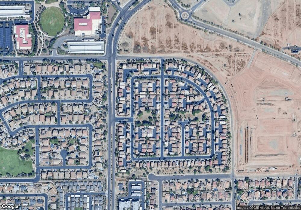
Map
Nearby Homes
- 9534 N 82nd Ln
- 9527 N 82nd Ln
- 8260 W Purdue Ave
- 9501 N 82nd Ave
- 8263 W Carol Ave
- 8167 W Carol Ave
- 9230 N 82nd Ln
- 8362 W Purdue Ave
- 8345 W Carol Ave
- 8211 W Madison St
- 8557 W Malapai Dr
- 8559 W Sunnyslope Ln
- 8644 W Mountain View Rd
- 8625 W Olive Ave
- 8556 W Caron Dr Unit 1
- 8676 W Mountain View Rd
- 8105 W Peoria Ave
- 8645 W Olive Ave Unit K
- 8609 W Eva St
- 9903 N 87th Dr
- 9626 N 82nd Ln
- 9638 N 82nd Ln
- 9631 N 82nd Glen
- 9637 N 82nd Glen
- 9625 N 82nd Glen
- 9620 N 82nd Ln
- 9644 N 82nd Ln
- 9643 N 82nd Glen
- 9650 N 82nd Ln
- 9614 N 82nd Ln
- 9662 N 82nd Ln
- 9661 N 82nd Glen
- 9619 N 82nd Glen
- 9613 N 82nd Glen
- 9649 N 82nd Glen
- 9656 N 82nd Ln
- 9668 N 82nd Ln
- 9667 N 82nd Glen
- 9651 N 82nd Ln
- 9655 N 82nd Glen