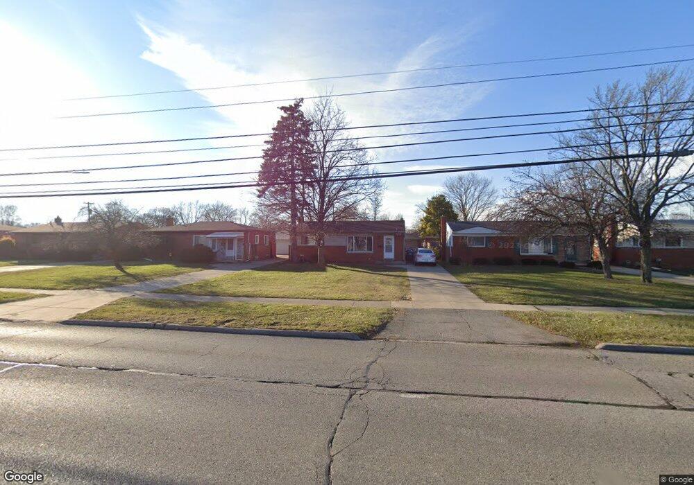
9632 Pardee Rd Unit Bldg-Unit Taylor, MI 48180
Estimated Value: $185,380 - $211,000
Studio
1
Bath
1,022
Sq Ft
$199/Sq Ft
Est. Value
About This Home
This home is located at 9632 Pardee Rd Unit Bldg-Unit, Taylor, MI 48180 and is currently estimated at $203,095, approximately $198 per square foot. 9632 Pardee Rd Unit Bldg-Unit is a home located in Wayne County with nearby schools including Kinyon Elementary School, Robert J. West Middle School, and Taylor High School.
Ownership History
Date
Name
Owned For
Owner Type
Purchase Details
Closed on
Jan 16, 2018
Sold by
Shaffer Troy and Shaffer Renee
Bought by
Wolford Joseph
Current Estimated Value
Purchase Details
Closed on
Dec 9, 2009
Sold by
Asher Patrick
Bought by
Federal National Mortgage Association
Purchase Details
Closed on
Dec 7, 2006
Sold by
Stempien Christopher S
Bought by
Wells Fargo Bank Na
Purchase Details
Closed on
Apr 18, 2003
Sold by
Fusco Randy J
Bought by
Stempien Christopher S
Purchase Details
Closed on
Jun 27, 2002
Sold by
Hays Clark A
Bought by
Fusco Randy J
Home Financials for this Owner
Home Financials are based on the most recent Mortgage that was taken out on this home.
Original Mortgage
$83,600
Interest Rate
6.62%
Create a Home Valuation Report for This Property
The Home Valuation Report is an in-depth analysis detailing your home's value as well as a comparison with similar homes in the area
Home Values in the Area
Average Home Value in this Area
Purchase History
| Date | Buyer | Sale Price | Title Company |
|---|---|---|---|
| Wolford Joseph | $103,000 | Michigan Title Ins Agency In | |
| Federal National Mortgage Association | $87,778 | None Available | |
| Wells Fargo Bank Na | $119,779 | None Available | |
| Stempien Christopher S | $140,000 | Michigan Title Insurance Age | |
| Fusco Randy J | $88,000 | -- |
Source: Public Records
Mortgage History
| Date | Status | Borrower | Loan Amount |
|---|---|---|---|
| Previous Owner | Fusco Randy J | $83,600 |
Source: Public Records
Tax History
| Year | Tax Paid | Tax Assessment Tax Assessment Total Assessment is a certain percentage of the fair market value that is determined by local assessors to be the total taxable value of land and additions on the property. | Land | Improvement |
|---|---|---|---|---|
| 2025 | $2,256 | $90,700 | $0 | $0 |
| 2024 | $2,185 | $84,500 | $0 | $0 |
| 2023 | $4,454 | $74,500 | $0 | $0 |
| 2022 | $2,085 | $65,600 | $0 | $0 |
| 2021 | $3,617 | $58,900 | $0 | $0 |
| 2020 | $3,426 | $52,100 | $0 | $0 |
| 2019 | $352,383 | $42,800 | $0 | $0 |
| 2018 | $1,497 | $37,300 | $0 | $0 |
| 2017 | $864 | $34,400 | $0 | $0 |
| 2016 | $1,877 | $33,400 | $0 | $0 |
| 2015 | $3,383 | $34,400 | $0 | $0 |
| 2013 | $3,360 | $34,300 | $0 | $0 |
| 2012 | $1,469 | $33,900 | $11,100 | $22,800 |
Source: Public Records
Map
Nearby Homes
- 9560 Sylvester St
- 9651 Blaty St
- 22150 Haig St
- 9814 Cass Ave
- 9942 Lincoln St
- 22327 Wick Rd
- 22311 Wick Rd
- 23319 Haig St
- 9228 Mueller St
- 22185 Wick Rd
- 9883 Roosevelt St
- 22243 Kinyon St Unit 3
- 22243 Kinyon St Unit 1
- 22134 Wick Rd
- 9640 Dudley St
- 8935 Lincoln St
- 23665 Haig St
- 9360 Pine St
- 9788 Pine St
- 011 Pine St
- 9632 Pardee Rd
- 9620 Pardee Rd
- 9644 Pardee Rd
- 9608 Pardee Rd
- 9656 Pardee Rd
- 9619 Sylvester St
- 9605 Sylvester St
- 9633 Sylvester St
- 9591 Sylvester St
- 9570 Pardee Rd
- 9668 Pardee Rd
- 9647 Sylvester St
- 9577 Sylvester St
- 9558 Pardee Rd
- 9704 Pardee Rd
- 9661 Sylvester St
- 9563 Sylvester St
- 9675 Sylvester St
- 9546 Pardee Rd
- 9716 Pardee Rd
Your Personal Tour Guide
Ask me questions while you tour the home.