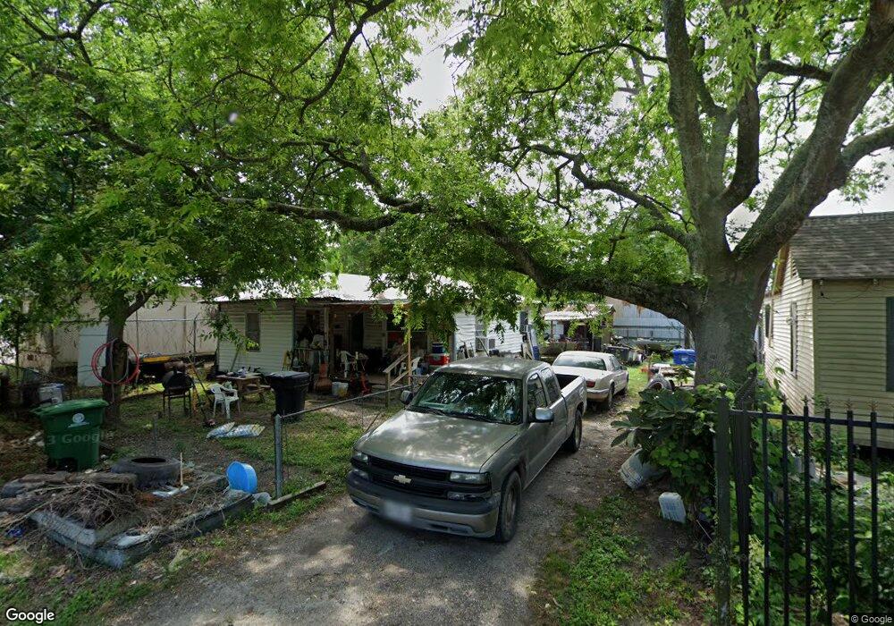
9633 Kentfield Dr Houston, TX 77093
Eastex-Jensen NeighborhoodEstimated Value: $109,396 - $176,000
2
Beds
1
Bath
942
Sq Ft
$146/Sq Ft
Est. Value
About This Home
This home is located at 9633 Kentfield Dr, Houston, TX 77093 and is currently estimated at $137,349, approximately $145 per square foot. 9633 Kentfield Dr is a home located in Harris County with nearby schools including Garcia Elementary School, Patrick Henry Middle School, and Sam Houston Math, Science & Technology Center.
Ownership History
Date
Name
Owned For
Owner Type
Purchase Details
Closed on
Aug 2, 1995
Sold by
Burch Mary Ellen
Bought by
Glenn Willie Jo and Glenn Debra Ann
Current Estimated Value
Home Financials for this Owner
Home Financials are based on the most recent Mortgage that was taken out on this home.
Original Mortgage
$44,000
Interest Rate
7.51%
Mortgage Type
Seller Take Back
Purchase Details
Closed on
Apr 27, 1992
Sold by
Auden Albert
Bought by
Wallace Myrtle
Create a Home Valuation Report for This Property
The Home Valuation Report is an in-depth analysis detailing your home's value as well as a comparison with similar homes in the area
Home Values in the Area
Average Home Value in this Area
Purchase History
| Date | Buyer | Sale Price | Title Company |
|---|---|---|---|
| Glenn Willie Jo | -- | -- | |
| Wallace Myrtle | -- | None Available |
Source: Public Records
Mortgage History
| Date | Status | Borrower | Loan Amount |
|---|---|---|---|
| Previous Owner | Glenn Willie Jo | $44,000 |
Source: Public Records
Tax History Compared to Growth
Tax History
| Year | Tax Paid | Tax Assessment Tax Assessment Total Assessment is a certain percentage of the fair market value that is determined by local assessors to be the total taxable value of land and additions on the property. | Land | Improvement |
|---|---|---|---|---|
| 2025 | $1,170 | $101,197 | $53,237 | $47,960 |
| 2024 | $1,170 | $86,940 | $46,583 | $40,357 |
| 2023 | $1,170 | $91,631 | $44,364 | $47,267 |
| 2022 | $1,162 | $71,065 | $31,689 | $39,376 |
| 2021 | $1,118 | $56,260 | $22,182 | $34,078 |
| 2020 | $1,056 | $50,316 | $22,182 | $28,134 |
| 2019 | $1,003 | $50,316 | $22,182 | $28,134 |
| 2018 | $0 | $36,045 | $15,211 | $20,834 |
| 2017 | $911 | $36,045 | $15,211 | $20,834 |
| 2016 | $911 | $36,045 | $15,211 | $20,834 |
| 2015 | $564 | $36,045 | $13,309 | $22,736 |
| 2014 | $564 | $36,045 | $13,309 | $22,736 |
Source: Public Records
Map
Nearby Homes
- 9650 E Hardy Rd
- 9630 Burden St
- 9634 Burden St
- 1731 Schilder Dr
- 1105 Soren Ln
- 1207 Firnat St
- 702 Pennington St
- 415 Briarcliff Dr
- 807 Firnat St
- 9021 Lomax St
- 9910 E Hardy Rd
- 9026 Mcgallion Rd
- 2318 Cresline St
- 723 Doverside St
- 8718 Brannon St
- 283 Turner Dr
- 3614 Tidwell Rd
- 3110 Tidwell Rd
- 318 Charlock St
- 606 Cresline St
- 9637 Kentfield Dr
- 9641 Kentfield Dr
- 9634 Kentfield Dr
- 9638 Kentfield Dr
- 9645 Kentfield Dr
- 9642 Kentfield Dr
- 1707 Heaney Dr Unit J
- 1707 Heaney Dr Unit K
- 9646 Kentfield Dr
- 9649 Kentfield Dr
- 1614 Turner Dr
- 0 Heaney Unit 56846453
- 1613 Heaney Dr
- 9650 Kentfield Dr
- 9653 Kentfield Dr
- 1726 Turner Dr
- 1730 Turner Dr
- 9654 Kentfield Dr
- 1619 Heaney Dr
- 9630 E Hardy Rd