9634 W 200 N Andrews, IN 46702
Estimated Value: $234,819
--
Bed
--
Bath
1,324
Sq Ft
$177/Sq Ft
Est. Value
About This Home
This home is located at 9634 W 200 N, Andrews, IN 46702 and is currently estimated at $234,819, approximately $177 per square foot. 9634 W 200 N is a home located in Huntington County with nearby schools including Andrews Elementary School, Riverview Middle School, and Huntington North High School.
Ownership History
Date
Name
Owned For
Owner Type
Purchase Details
Closed on
Sep 6, 2024
Sold by
Bitzer Todd A and Bitzer Diana F
Bought by
Shaw William
Current Estimated Value
Home Financials for this Owner
Home Financials are based on the most recent Mortgage that was taken out on this home.
Original Mortgage
$165,000
Outstanding Balance
$157,996
Interest Rate
5.99%
Mortgage Type
Credit Line Revolving
Estimated Equity
$76,823
Purchase Details
Closed on
Oct 8, 2019
Sold by
Bitzer Phillip L
Bought by
Bitzer Todd A and Bitzer Diana F
Create a Home Valuation Report for This Property
The Home Valuation Report is an in-depth analysis detailing your home's value as well as a comparison with similar homes in the area
Home Values in the Area
Average Home Value in this Area
Purchase History
| Date | Buyer | Sale Price | Title Company |
|---|---|---|---|
| Shaw William | $220,000 | Metropolitan Title | |
| Bitzer Todd A | -- | -- |
Source: Public Records
Mortgage History
| Date | Status | Borrower | Loan Amount |
|---|---|---|---|
| Open | Shaw William | $165,000 |
Source: Public Records
Tax History Compared to Growth
Tax History
| Year | Tax Paid | Tax Assessment Tax Assessment Total Assessment is a certain percentage of the fair market value that is determined by local assessors to be the total taxable value of land and additions on the property. | Land | Improvement |
|---|---|---|---|---|
| 2024 | $1,318 | $83,700 | $27,600 | $56,100 |
| 2023 | $1,576 | $94,500 | $26,300 | $68,200 |
| 2022 | $1,154 | $71,300 | $25,000 | $46,300 |
| 2021 | $1,129 | $63,300 | $24,300 | $39,000 |
| 2020 | $1,173 | $63,400 | $24,300 | $39,100 |
| 2019 | $1,098 | $64,800 | $25,200 | $39,600 |
| 2018 | $1,157 | $65,100 | $25,400 | $39,700 |
| 2017 | $1,068 | $66,600 | $26,100 | $40,500 |
| 2016 | $1,193 | $75,900 | $26,500 | $49,400 |
| 2014 | $1,232 | $75,900 | $26,800 | $49,100 |
| 2013 | $1,232 | $85,600 | $25,800 | $59,800 |
Source: Public Records
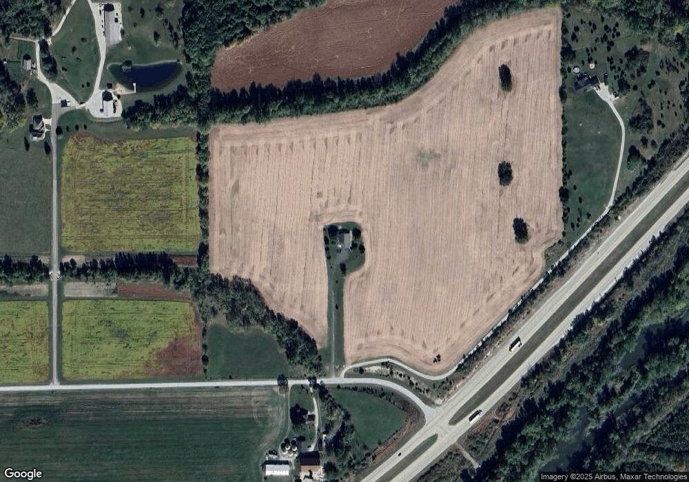
Map
Nearby Homes
- 2848 N 800 E
- 330 W Mckeever St
- 187 S Snowden St
- 63 E Mckeever St
- 874 N Jackson St
- TBD W Maple Grove Rd
- 5562 W 100 N
- 460 Main St
- 00 S 600 E
- 1920 Hunters Ridge Dr
- 5725 W 600 N
- 92 S 425 W
- TBD 495 N
- 58 Quayle Run
- 2217 Miami Trail
- 2207 Miami Trail
- 2200 Miami Trail
- 2210 Miami Trail
- 1239 Lucas Ct
- 1106 Elias Murray Dr
- 9622 W 200 N
- 9659 W 200 N
- 9868 W 200 N
- 9209 W Wabash Rd
- 2531 N 1000 W
- 2178 N 800 E
- 2587 N 1000 W
- 9417 W Mckeever Rd
- 9569 W Mckeever Rd
- 9085 W Wabash Rd
- 2272 N 800 E
- 9285 W Mckeever Rd
- 7894 E 250 N
- 9003 W Wabash Rd
- 9749 W 300 N
- 9017 W Mckeever Rd
- 9741 W Mckeever Rd
- 2710 N 800 E
- 7619 E 250 N
- 2636 N 900 W