9635 Union Pier Rd Union Pier, MI 49129
Estimated Value: $702,000 - $822,000
3
Beds
2
Baths
1,464
Sq Ft
$528/Sq Ft
Est. Value
About This Home
This home is located at 9635 Union Pier Rd, Union Pier, MI 49129 and is currently estimated at $772,509, approximately $527 per square foot. 9635 Union Pier Rd is a home located in Berrien County with nearby schools including New Buffalo Elementary School, New Buffalo Middle School, and New Buffalo Senior High School.
Ownership History
Date
Name
Owned For
Owner Type
Purchase Details
Closed on
Sep 21, 2016
Sold by
Natsis John N and Hemingway Thomas R
Bought by
Sullivan Stephen E and Mckean Erin L
Current Estimated Value
Purchase Details
Closed on
Jun 4, 2015
Sold by
Lands Chikaming Open
Bought by
Natsis John N and Hemingway Thomas R
Purchase Details
Closed on
Jan 12, 2015
Sold by
Knack Ruth E and Knack William A
Bought by
Lands Chikaming Open
Purchase Details
Closed on
Sep 19, 1986
Create a Home Valuation Report for This Property
The Home Valuation Report is an in-depth analysis detailing your home's value as well as a comparison with similar homes in the area
Home Values in the Area
Average Home Value in this Area
Purchase History
| Date | Buyer | Sale Price | Title Company |
|---|---|---|---|
| Sullivan Stephen E | -- | Fat | |
| Natsis John N | -- | Multiple | |
| Lands Chikaming Open | -- | Multiple | |
| -- | -- | -- |
Source: Public Records
Tax History Compared to Growth
Tax History
| Year | Tax Paid | Tax Assessment Tax Assessment Total Assessment is a certain percentage of the fair market value that is determined by local assessors to be the total taxable value of land and additions on the property. | Land | Improvement |
|---|---|---|---|---|
| 2025 | $4,899 | $295,600 | $0 | $0 |
| 2024 | $3,081 | $140,100 | $0 | $0 |
| 2023 | $2,934 | $207,700 | $0 | $0 |
| 2022 | $2,795 | $113,400 | $0 | $0 |
| 2021 | $4,248 | $111,200 | $29,300 | $81,900 |
| 2020 | $4,561 | $130,400 | $0 | $0 |
| 2019 | $4,556 | $152,400 | $36,000 | $116,400 |
| 2018 | $6,070 | $152,400 | $0 | $0 |
| 2017 | $6,238 | $154,500 | $0 | $0 |
| 2016 | $2,844 | $71,400 | $0 | $0 |
| 2015 | $855 | $158,200 | $0 | $0 |
| 2014 | $1,060 | $155,200 | $0 | $0 |
Source: Public Records
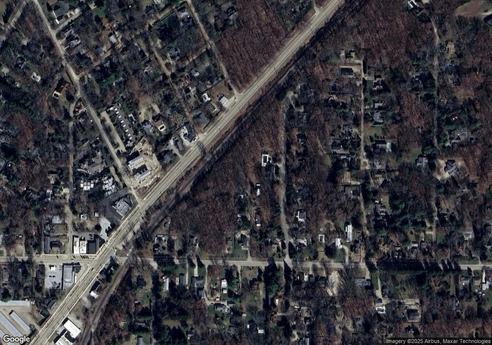
Map
Nearby Homes
- 16153 Krob Rd
- 16175 S Locke Rd
- 16253 1st Ln
- 16032 Goodwin Ave Unit 5
- 16009 Goodwin Ave Unit 13
- 16009 Goodwin Ave Unit 12
- 16009 Goodwin Ave Unit 10
- 9720 Woodlawn Ave
- 16005 Goodwin Ave Unit 1
- 16431 Glassman Rd
- 9695 Community Hall Rd
- 9325 Matthews Rd
- 15963 Lakeshore Rd
- 9604 9704 Community Hall Rd
- 9663 Berrien St
- 15657 Lakeshore Rd Unit 12
- 15612 Isobel St Unit 1
- 16225 Quality Ln
- Lot 7 Driftwood Path
- 9366 E Locke Rd
- 00 Union Unit Road
- 9601 Union Pier Rd
- 9629 Union Pier Rd
- 9595 Union Pier Rd
- 9626 Union Pier Rd
- 9667 Union Pier Rd
- 16060 Ruffino Rd
- 9579 Union Pier Rd
- 9584 Union Pier Rd
- 16055 Prusa Rd
- 9673 Union Pier Rd
- 9563 Union Pier Rd
- 16055 Ruffino Rd
- 9686 Union Pier Rd
- 9683 Union Pier Rd
- 9686 Union Unit Rd
- 16045 Ruffino Rd Unit AB
- 16045 Ruffino Rd
- 10002 Duncan Ln
- 9572 Union Pier Rd