Estimated Value: $200,313 - $213,000
3
Beds
1
Bath
1,196
Sq Ft
$171/Sq Ft
Est. Value
About This Home
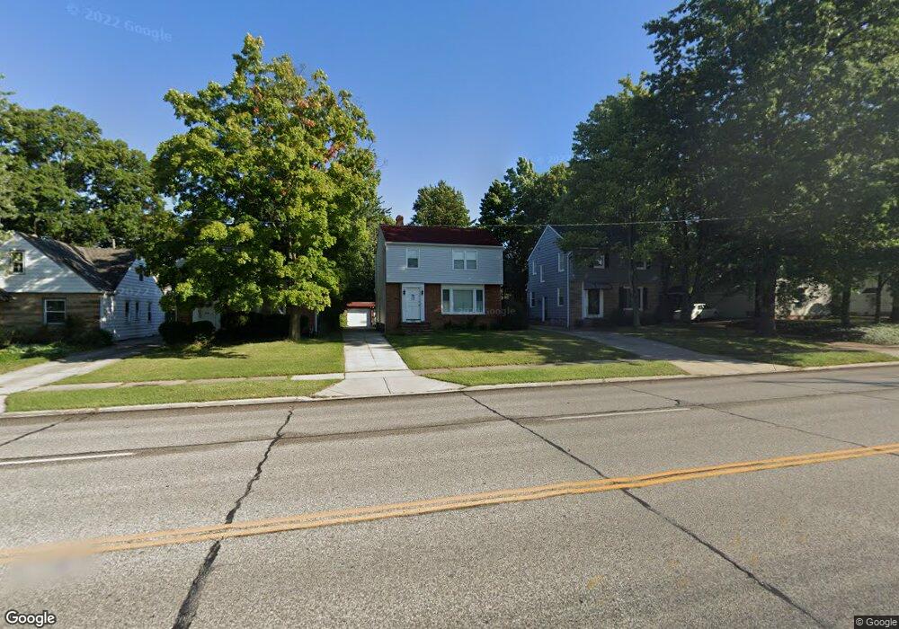
This home is located at 9636 Snow Rd, Parma, OH 44130 and is currently estimated at $204,578, approximately $171 per square foot. 9636 Snow Rd is a home located in Cuyahoga County with nearby schools including Ridge-Brook Elementary School, Greenbriar Middle School, and Valley Forge High School.
Ownership History
Date
Name
Owned For
Owner Type
Purchase Details
Closed on
Aug 24, 2017
Sold by
Green Pointe Mamngenet Llc
Bought by
7406 Liberty Ave Llc
Current Estimated Value
Purchase Details
Closed on
Aug 22, 2017
Sold by
Hronek Christina and Estate Of Eugene Re Mayler
Bought by
Green Pointe Management Llc
Purchase Details
Closed on
Jan 4, 1984
Sold by
Mildred M Mayler
Bought by
Mayler Eugene
Purchase Details
Closed on
Jul 14, 1983
Sold by
Mayler Alvin H and Mayler Mildred M
Bought by
Mildred M Mayler
Purchase Details
Closed on
Jan 1, 1975
Bought by
Mayler Alvin H and Mayler Mildred M
Create a Home Valuation Report for This Property
The Home Valuation Report is an in-depth analysis detailing your home's value as well as a comparison with similar homes in the area
Home Values in the Area
Average Home Value in this Area
Purchase History
| Date | Buyer | Sale Price | Title Company |
|---|---|---|---|
| 7406 Liberty Ave Llc | $40,000 | Northcoast Title Agency | |
| Green Pointe Management Llc | $12,650 | None Available | |
| Mayler Eugene | -- | -- | |
| Mildred M Mayler | -- | -- | |
| Mayler Alvin H | -- | -- |
Source: Public Records
Tax History Compared to Growth
Tax History
| Year | Tax Paid | Tax Assessment Tax Assessment Total Assessment is a certain percentage of the fair market value that is determined by local assessors to be the total taxable value of land and additions on the property. | Land | Improvement |
|---|---|---|---|---|
| 2024 | $3,802 | $61,530 | $9,310 | $52,220 |
| 2023 | $3,282 | $45,440 | $11,450 | $33,990 |
| 2022 | $3,253 | $45,430 | $11,445 | $33,985 |
| 2021 | $3,350 | $45,430 | $11,450 | $33,990 |
| 2020 | $3,103 | $37,240 | $9,380 | $27,860 |
| 2019 | $2,977 | $106,400 | $26,800 | $79,600 |
| 2018 | $2,983 | $37,240 | $9,380 | $27,860 |
| 2017 | $2,028 | $32,070 | $5,500 | $26,570 |
| 2016 | $2,017 | $32,070 | $5,500 | $26,570 |
| 2015 | $2,029 | $32,070 | $5,500 | $26,570 |
| 2014 | $2,029 | $34,100 | $5,850 | $28,250 |
Source: Public Records
Map
Nearby Homes
- 9621 Elsmere Dr
- 0 Parkhill Dr Unit 5116837
- 5845 Lotusdale Dr
- 5860 Pearl Rd
- 10172 Keswick Dr
- 9012 W Moreland Rd
- 5906 Twin Lakes Dr
- 9417 Fernhill Ave
- 10910 Windham Rd
- 5972 Westminster Dr
- 5717 Chestnut Dr
- 9118 Fernhill Ave
- 6111 Denison Blvd
- 10620 Aaron Dr
- 5882 Kings Hwy
- 8514 Deerfield Dr
- 5440 W 84th St Unit 42
- 7906 Bertha Ave
- 7910 Dresden Ave
- 8308 Chesterfield Ave