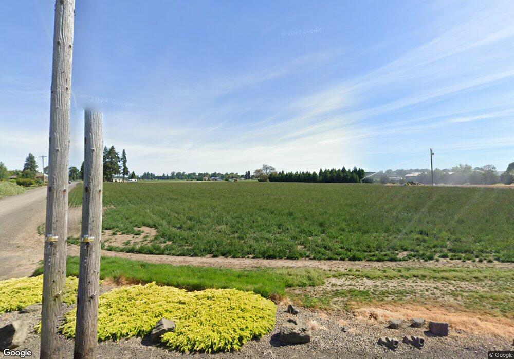
96379 Noraton Rd Junction City, OR 97448
Estimated Value: $485,000 - $541,276
3
Beds
1
Bath
1,352
Sq Ft
$380/Sq Ft
Est. Value
About This Home
This home is located at 96379 Noraton Rd, Junction City, OR 97448 and is currently estimated at $513,138, approximately $379 per square foot. 96379 Noraton Rd is a home located in Lane County with nearby schools including Harrisburg Elementary School, Harrisburg Middle School, and Harrisburg High School.
Ownership History
Date
Name
Owned For
Owner Type
Purchase Details
Closed on
Jul 30, 2009
Sold by
Kephart Gary R and Kephart Serena G
Bought by
P F Properties Llc
Current Estimated Value
Purchase Details
Closed on
Jan 30, 2006
Sold by
Schmidt David A and Estate Of Willard M Bliss
Bought by
Kephart Gary R and Kephart Serena G
Home Financials for this Owner
Home Financials are based on the most recent Mortgage that was taken out on this home.
Original Mortgage
$115,000
Interest Rate
6.28%
Mortgage Type
Purchase Money Mortgage
Create a Home Valuation Report for This Property
The Home Valuation Report is an in-depth analysis detailing your home's value as well as a comparison with similar homes in the area
Home Values in the Area
Average Home Value in this Area
Purchase History
| Date | Buyer | Sale Price | Title Company |
|---|---|---|---|
| P F Properties Llc | $240,000 | First American Title | |
| Kephart Gary R | $114,856 | Fidelity Natl Title Co Of Or |
Source: Public Records
Mortgage History
| Date | Status | Borrower | Loan Amount |
|---|---|---|---|
| Previous Owner | Kephart Gary R | $115,000 |
Source: Public Records
Tax History Compared to Growth
Tax History
| Year | Tax Paid | Tax Assessment Tax Assessment Total Assessment is a certain percentage of the fair market value that is determined by local assessors to be the total taxable value of land and additions on the property. | Land | Improvement |
|---|---|---|---|---|
| 2024 | $640 | $57,839 | -- | -- |
| 2023 | $640 | $123,973 | $0 | $0 |
| 2022 | $1,313 | $120,362 | $0 | $0 |
| 2021 | $1,283 | $116,858 | $0 | $0 |
| 2020 | $1,238 | $113,454 | $0 | $0 |
| 2019 | $1,203 | $110,150 | $0 | $0 |
| 2018 | $1,126 | $103,828 | $0 | $0 |
| 2017 | $1,055 | $103,828 | $0 | $0 |
| 2016 | $1,028 | $100,804 | $0 | $0 |
| 2015 | $1,015 | $97,868 | $0 | $0 |
| 2014 | $1,044 | $95,017 | $0 | $0 |
Source: Public Records
Map
Nearby Homes
- 23741 Hwy 99
- 190 N 1st St
- 15511AA017 W Highway 99
- 15511AA016 W Highway 99
- 0 Hwy 99 W
- 340 Moore St
- 24315 Peoria Rd
- 881 Arrow Leaf Place
- 735 N Periander
- 741 N Periander
- Lot 7 Territorial St
- 855 Spurlock St
- 888 S 9th St
- 1025 S 6th St Unit 25
- 1025 S 6th St
- 1025 S 6th St Unit 83
- 950 Lasalle St
- 970 Lasalle St
- 1001 Sommerville Loop
- 1033 Sommerville Loop
- 96378 Adams Ln
- 96412 Adams Ln
- 96382 Noraton Rd
- 96476 Smith Ln
- 96380 Noraton Rd
- 96483 Smith Ln
- 96507 Smith Ln
- 96310 Noraton Rd
- 96281 Howard Ln
- 96452 Noraton Rd
- 96465 Noraton Rd
- 96280 Noraton Rd
- 96560 Smith Ln
- 96505 Noraton Rd
- 96225 Howard Ln
- 96212 Howard Ln
- 96250 Noraton Rd
- 0 Adams Ln
- 96222 Noraton Rd
- 28985 Jager Ln
