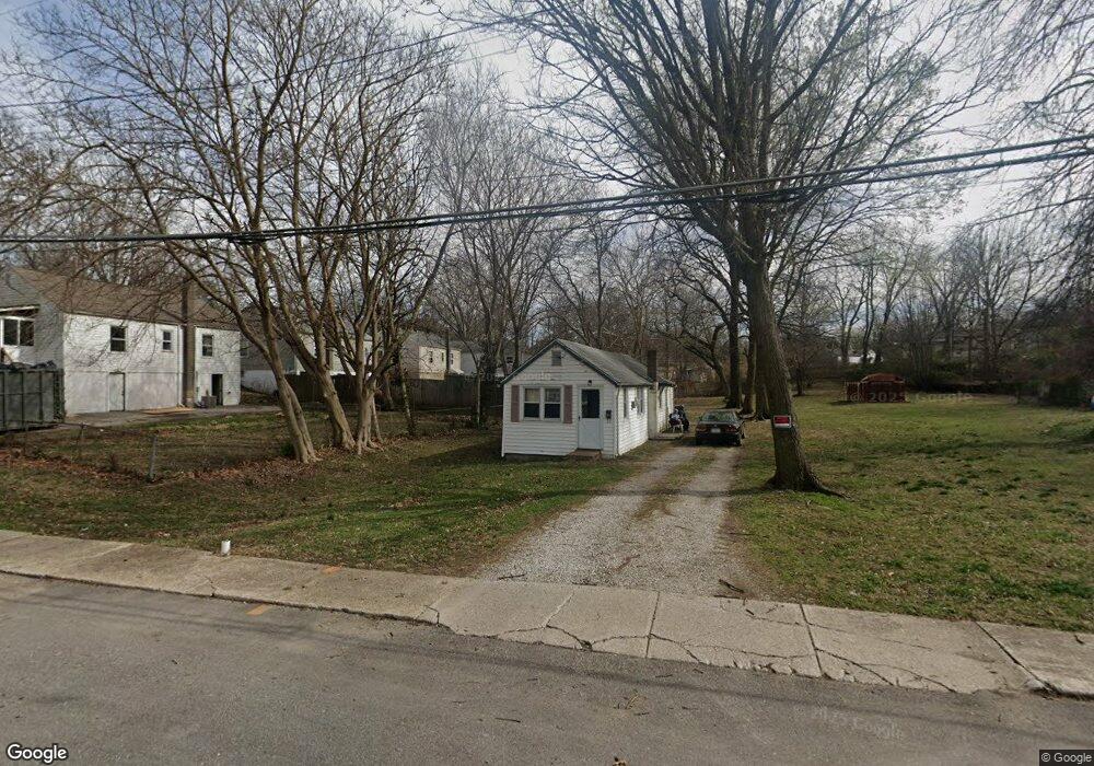
9638 Holtwood Rd Saint Louis, MO 63114
Estimated Value: $73,540 - $132,000
1
Bed
1
Bath
611
Sq Ft
$161/Sq Ft
Est. Value
About This Home
This home is located at 9638 Holtwood Rd, Saint Louis, MO 63114 and is currently estimated at $98,385, approximately $161 per square foot. 9638 Holtwood Rd is a home located in St. Louis County with nearby schools including Marion Elementary School, Ritenour Middle School, and Ritenour Senior High School.
Ownership History
Date
Name
Owned For
Owner Type
Purchase Details
Closed on
Sep 9, 2021
Sold by
Newman Jean C and Newman Gary D
Bought by
Kunkel Diana L
Current Estimated Value
Purchase Details
Closed on
Apr 17, 1998
Sold by
Ruth Fryman
Bought by
Fryman Ruth and Newman Gary D
Home Financials for this Owner
Home Financials are based on the most recent Mortgage that was taken out on this home.
Original Mortgage
$17,100
Interest Rate
7.21%
Create a Home Valuation Report for This Property
The Home Valuation Report is an in-depth analysis detailing your home's value as well as a comparison with similar homes in the area
Home Values in the Area
Average Home Value in this Area
Purchase History
| Date | Buyer | Sale Price | Title Company |
|---|---|---|---|
| Kunkel Diana L | -- | None Available | |
| Fryman Ruth | -- | -- | |
| Fryman Ruth | -- | -- |
Source: Public Records
Mortgage History
| Date | Status | Borrower | Loan Amount |
|---|---|---|---|
| Previous Owner | Fryman Ruth | $17,100 |
Source: Public Records
Tax History Compared to Growth
Tax History
| Year | Tax Paid | Tax Assessment Tax Assessment Total Assessment is a certain percentage of the fair market value that is determined by local assessors to be the total taxable value of land and additions on the property. | Land | Improvement |
|---|---|---|---|---|
| 2025 | $967 | $16,760 | $6,780 | $9,980 |
| 2024 | $967 | $11,100 | $2,340 | $8,760 |
| 2023 | $946 | $11,100 | $2,340 | $8,760 |
| 2022 | $839 | $8,610 | $2,720 | $5,890 |
| 2021 | $839 | $8,610 | $2,720 | $5,890 |
| 2020 | $690 | $6,480 | $3,480 | $3,000 |
| 2019 | $682 | $6,480 | $3,480 | $3,000 |
| 2018 | $596 | $5,060 | $2,720 | $2,340 |
| 2017 | $569 | $5,060 | $2,720 | $2,340 |
| 2016 | $387 | $3,420 | $3,100 | $320 |
| 2015 | $395 | $3,420 | $3,100 | $320 |
| 2014 | $346 | $3,010 | $1,810 | $1,200 |
Source: Public Records
Map
Nearby Homes
- 9640 Tennyson Ave
- 2528 Leslie Ave
- 2529 Leslie Ave
- 2412 Wallis Ave
- 9515 Marlowe Ave
- 9911 Dennison Ave
- 9922 Carlyle Ave
- 2326 Hood Ave
- 9432 Tudor Ave
- 3205 Airway Ave
- 2812 Woodson Rd
- 2327 Gaebler Ave
- 3213 Airway Ave
- 3219 Coles Ave
- 3219 Royalton Ave
- 3222 W Tennyson Ave
- 3301 Suncrest Ave
- 2223 Burns Ave
- 3316 Edmundson Rd
- 10027 Breckenridge Rd
- 9632 W Milton Ave
- 9642 Holtwood Rd
- 9628 W Milton Ave
- 9646 Holtwood Rd
- 9624 W Milton Ave
- 9627 Holtwood Rd
- 9631 Holtwood Rd
- 2601 W Milton Ave
- 9635 Holtwood Rd
- 9634 Holtwood Rd
- 9621 W Milton Ave
- 9637 Holtwood Rd
- 9650 Holtwood Rd
- 2605 W Milton Ave
- 9620 W Milton Ave
- 9631 Tennyson Ave
- 9639 Holtwood Rd
- 9629 Tennyson Ave
- 9619 W Milton Ave
- 9632 Holtwood Rd