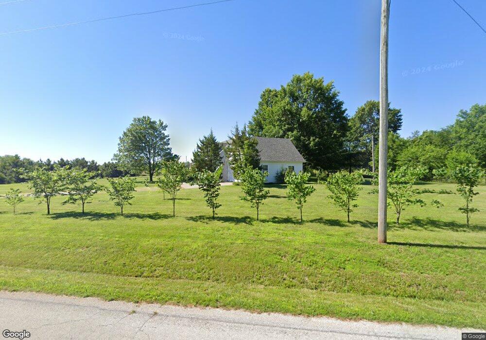
9638 Knoll Rd Carthage, MO 64836
Estimated Value: $376,000 - $469,930
3
Beds
3
Baths
2,248
Sq Ft
$188/Sq Ft
Est. Value
About This Home
This home is located at 9638 Knoll Rd, Carthage, MO 64836 and is currently estimated at $422,965, approximately $188 per square foot. 9638 Knoll Rd is a home located in Jasper County with nearby schools including Carthage High School.
Ownership History
Date
Name
Owned For
Owner Type
Purchase Details
Closed on
Sep 18, 2017
Sold by
Washburn Robert and Washburn Karen
Bought by
Anderson Takota and Anderson Emily N
Current Estimated Value
Home Financials for this Owner
Home Financials are based on the most recent Mortgage that was taken out on this home.
Original Mortgage
$183,330
Outstanding Balance
$152,560
Interest Rate
3.86%
Mortgage Type
Purchase Money Mortgage
Estimated Equity
$270,405
Purchase Details
Closed on
May 31, 2005
Sold by
Logan Linda Jean
Bought by
Washburn Robert and Washburn Karen
Home Financials for this Owner
Home Financials are based on the most recent Mortgage that was taken out on this home.
Original Mortgage
$163,400
Interest Rate
5.83%
Mortgage Type
Fannie Mae Freddie Mac
Create a Home Valuation Report for This Property
The Home Valuation Report is an in-depth analysis detailing your home's value as well as a comparison with similar homes in the area
Purchase History
We collect this data history from publicly available records. To have your information removed, we recommend requesting removal directly through your county’s website.
| Date | Buyer | Sale Price | Title Company |
|---|---|---|---|
| Anderson Takota | -- | None Available | |
| Washburn Robert | -- | -- |
Source: Public Records
Mortgage History
We collect this data history from publicly available records. To have your information removed, we recommend requesting removal directly through your county’s website.
| Date | Status | Borrower | Loan Amount |
|---|---|---|---|
| Open | Anderson Takota | $183,330 | |
| Previous Owner | Washburn Robert | $163,400 |
Source: Public Records
Tax History
| Year | Tax Paid | Tax Assessment Tax Assessment Total Assessment is a certain percentage of the fair market value that is determined by local assessors to be the total taxable value of land and additions on the property. | Land | Improvement |
|---|---|---|---|---|
| 2025 | $1,438 | $34,770 | $2,310 | $32,460 |
| 2024 | $1,438 | $30,740 | $2,310 | $28,430 |
| 2023 | $1,438 | $30,740 | $2,310 | $28,430 |
| 2022 | $1,454 | $31,190 | $2,310 | $28,880 |
| 2021 | $1,436 | $31,190 | $2,310 | $28,880 |
| 2020 | $1,380 | $28,800 | $2,310 | $26,490 |
| 2019 | $1,383 | $28,800 | $2,310 | $26,490 |
| 2018 | $1,429 | $29,780 | $0 | $0 |
| 2017 | $1,432 | $29,780 | $0 | $0 |
| 2016 | $1,506 | $31,420 | $0 | $0 |
| 2015 | $1,380 | $31,420 | $0 | $0 |
| 2014 | $1,380 | $31,400 | $0 | $0 |
Source: Public Records
Map
Nearby Homes
- 9895 County Lane 93
- 8255 State Highway 96
- 10573 County Road 110
- 9625 Ivy Rd
- 7686 State Highway 96
- 9615 County Lane 116
- 9853 County Road 118
- 15322 Cr-90
- 7777 Cr-110
- 10415 County Loop 128
- 7777 Cr 110
- 15785 Maple Rd
- Tbd Highway Hh S 25
- 1160 S County Lane 119
- 1977 Hammer Ln
- 13825 Jasmine Loop
- 10855 County Ln 133
- 13374 Kafir Rd
- 1297 S Palomino Rd
- 13397 County Road 70
- 10483 County Road 96
- 10483 Cty Rd 96
- 9880 Knoll Rd
- 10283 County Road 96
- 10286 County Road 96
- Tract 1 Knoll & County Road 100
- 10426 County Road 100
- 10206 County Road 96
- 10331 County Road 94
- 9677 State Highway 96 Unit 1
- 9401 Knoll Rd
- 10390 County Road 94
- 10211 County Road 94
- Xxx County Road 94
- 10205 County Road 100
- 10231 County Road 100
- 9831 State Highway 96
- 10125 County Road 94
- 10046 County Road 96
- 10151 County Road 94
Your Personal Tour Guide
Ask me questions while you tour the home.