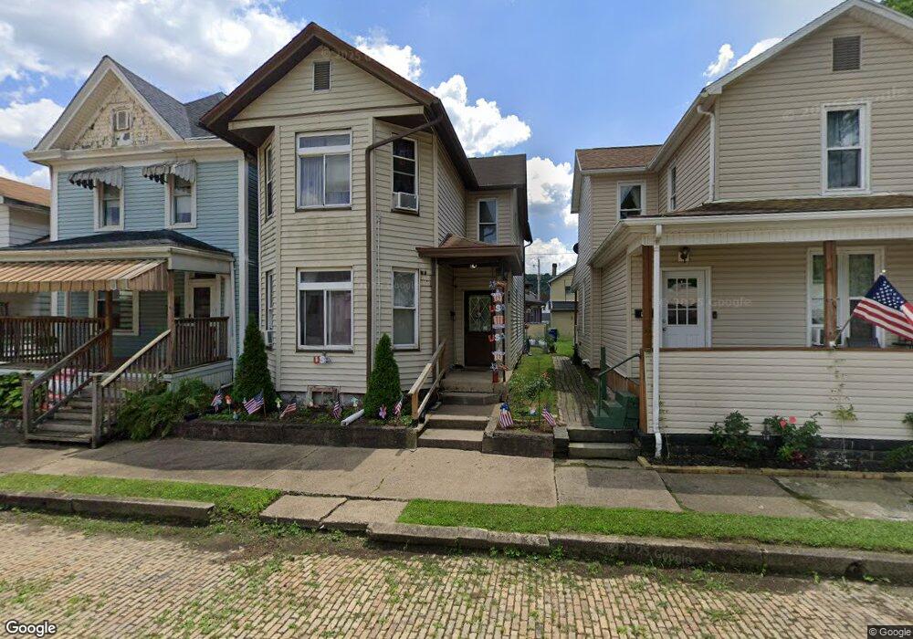
964 Railroad St East Liverpool, OH 43920
Estimated Value: $41,000 - $84,400
3
Beds
2
Baths
1,756
Sq Ft
$35/Sq Ft
Est. Value
About This Home
This home is located at 964 Railroad St, East Liverpool, OH 43920 and is currently estimated at $62,100, approximately $35 per square foot. 964 Railroad St is a home located in Columbiana County with nearby schools including Westgate Middle School, LaCroft Elementary School, and East Liverpool High School.
Ownership History
Date
Name
Owned For
Owner Type
Purchase Details
Closed on
Sep 21, 2000
Sold by
Dickey Dickey Mark E Mark E and Dickey Connie S
Bought by
Dickey Connie S
Current Estimated Value
Purchase Details
Closed on
Dec 30, 1997
Sold by
Jones William G
Bought by
Dickey Mark E and Dickey Connie S
Home Financials for this Owner
Home Financials are based on the most recent Mortgage that was taken out on this home.
Original Mortgage
$15,300
Interest Rate
7.28%
Purchase Details
Closed on
Nov 4, 1991
Bought by
Jones William G
Create a Home Valuation Report for This Property
The Home Valuation Report is an in-depth analysis detailing your home's value as well as a comparison with similar homes in the area
Home Values in the Area
Average Home Value in this Area
Purchase History
| Date | Buyer | Sale Price | Title Company |
|---|---|---|---|
| Dickey Connie S | -- | -- | |
| Dickey Mark E | $17,000 | Heritage Title Agency | |
| Jones William G | $11,000 | -- |
Source: Public Records
Mortgage History
| Date | Status | Borrower | Loan Amount |
|---|---|---|---|
| Closed | Dickey Mark E | $15,300 | |
| Closed | Dickey Mark E | $1,700 |
Source: Public Records
Tax History Compared to Growth
Tax History
| Year | Tax Paid | Tax Assessment Tax Assessment Total Assessment is a certain percentage of the fair market value that is determined by local assessors to be the total taxable value of land and additions on the property. | Land | Improvement |
|---|---|---|---|---|
| 2024 | -- | $8,370 | $390 | $7,980 |
| 2023 | $0 | $8,370 | $390 | $7,980 |
| 2022 | $0 | $8,370 | $390 | $7,980 |
| 2021 | $0 | $7,600 | $350 | $7,250 |
| 2020 | $0 | $7,600 | $350 | $7,250 |
| 2019 | $0 | $7,600 | $350 | $7,250 |
| 2018 | $0 | $6,900 | $320 | $6,580 |
| 2017 | $0 | $6,900 | $320 | $6,580 |
| 2016 | $0 | $7,080 | $250 | $6,830 |
| 2015 | $346 | $7,080 | $250 | $6,830 |
| 2014 | $378 | $7,080 | $250 | $6,830 |
Source: Public Records
Map
Nearby Homes
- 936 Saint George St
- 1013 Saint George St
- 1030 Saint George St
- 1045 Saint George St
- 534 1st St
- 1147 Ohio Ave
- 636 River Rd
- 1259 Erie St
- 1615 Montrose St
- 915 Phoenix Ave
- 908 Phoenix Ave
- 215 Alpine Way
- 20 Phaeton Ave
- 507 Wedgewood St
- TBD Orion
- 509 Pyramus Rd
- 920 Mckinnon Ave
- 7 Teaberry Dr
- 12 Lotus Ave
- 929 Bank St
- 962 Railroad St
- 968 Railroad St
- 315 Mulberry St
- 313 Mulberry St
- 963 Saint George St
- 310 Needham St
- 961 Saint George St
- 955 Saint George St
- 1000 Railroad St
- 950 Railroad St
- 958 Saint George St
- 1010 Railroad St
- 966 Saint George St
- 964 Saint George St
- 968 Saint George St
- 954 Saint George St
- 952 Saint George St
- 970 Saint George St
- 944 Railroad St
- 1011 Saint George St