Estimated Value: $279,000 - $384,000
3
Beds
1
Bath
1,520
Sq Ft
$206/Sq Ft
Est. Value
About This Home
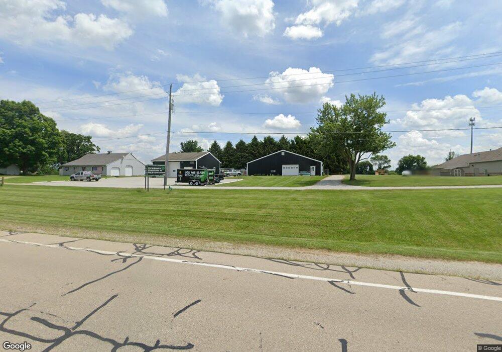
This home is located at 964 Us Route 42 S, Xenia, OH 45385 and is currently estimated at $312,841, approximately $205 per square foot. 964 Us Route 42 S is a home located in Greene County with nearby schools including Xenia High School and Summit Academy Community School for Alternative Learners - Xenia.
Ownership History
Date
Name
Owned For
Owner Type
Purchase Details
Closed on
May 15, 1998
Sold by
Pace Kenneth E
Bought by
Pace Ken E and Pace Sharon L
Current Estimated Value
Home Financials for this Owner
Home Financials are based on the most recent Mortgage that was taken out on this home.
Original Mortgage
$60,000
Interest Rate
7.19%
Mortgage Type
Purchase Money Mortgage
Purchase Details
Closed on
Apr 6, 1998
Sold by
Pace Mary Lou
Bought by
Pace Kenneth E
Home Financials for this Owner
Home Financials are based on the most recent Mortgage that was taken out on this home.
Original Mortgage
$60,000
Interest Rate
7.19%
Mortgage Type
Purchase Money Mortgage
Create a Home Valuation Report for This Property
The Home Valuation Report is an in-depth analysis detailing your home's value as well as a comparison with similar homes in the area
Home Values in the Area
Average Home Value in this Area
Purchase History
| Date | Buyer | Sale Price | Title Company |
|---|---|---|---|
| Pace Ken E | -- | -- | |
| Pace Kenneth E | $25,000 | -- |
Source: Public Records
Mortgage History
| Date | Status | Borrower | Loan Amount |
|---|---|---|---|
| Closed | Pace Ken E | $60,000 |
Source: Public Records
Tax History Compared to Growth
Tax History
| Year | Tax Paid | Tax Assessment Tax Assessment Total Assessment is a certain percentage of the fair market value that is determined by local assessors to be the total taxable value of land and additions on the property. | Land | Improvement |
|---|---|---|---|---|
| 2024 | $3,352 | $70,250 | $29,500 | $40,750 |
| 2023 | $3,352 | $70,250 | $29,500 | $40,750 |
| 2022 | $3,053 | $58,000 | $25,660 | $32,340 |
| 2021 | $3,092 | $58,000 | $25,660 | $32,340 |
| 2020 | $2,969 | $58,000 | $25,660 | $32,340 |
| 2019 | $2,418 | $44,330 | $22,650 | $21,680 |
| 2018 | $2,423 | $44,330 | $22,650 | $21,680 |
| 2017 | $2,363 | $44,330 | $22,650 | $21,680 |
| 2016 | $2,364 | $42,440 | $22,130 | $20,310 |
| 2015 | $2,370 | $42,440 | $22,130 | $20,310 |
| 2014 | $2,274 | $42,440 | $22,130 | $20,310 |
Source: Public Records
Map
Nearby Homes
- 2096 High Wheel Dr
- 2223 Tandem Dr
- 2144 Tandem Dr
- 701 Mount Vernon Dr
- 1881 Commonwealth Dr
- 1319 Arlington Dr
- 2540 Cornwall Dr
- 1255 Colorado Dr
- 1272 Bellbrook Ave
- 2499 Jenny Marie Dr
- 1208 Bellbrook Ave
- 2540 Jenny Marie Dr
- 100 Prugh Ave
- 1908 Whitt St
- 2421 Louisiana Dr
- 0 Berkshire Dr Unit 942854
- 2187 Minnesota Dr
- 2265 Minnesota Dr
- 2189 Mississippi Dr
- 1766 Gayhart Dr
- 986 Us Route 42 S
- 961 Us Route 42 S
- 961 Us Route 42 S
- 965 Beason Rd
- 1844 Beason Rd
- 1856 Beason Rd
- 955 Us Route 42 S
- 804 Orville Way
- 801 Orville Way
- 816 Orville Way
- 824 Orville Way
- 809 Orville Way
- 832 Orville Way
- 1012 Us Route 42 S
- 821 Orville Way
- 838 Orville Way
- 829 Orville Way
- 846 Orville Way
- 837 Orville Way
- 852 Orville Way