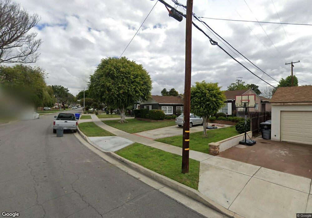
9640 Ahmann Ave Whittier, CA 90604
South Whittier NeighborhoodEstimated Value: $819,000 - $878,000
3
Beds
2
Baths
1,578
Sq Ft
$531/Sq Ft
Est. Value
About This Home
This home is located at 9640 Ahmann Ave, Whittier, CA 90604 and is currently estimated at $837,735, approximately $530 per square foot. 9640 Ahmann Ave is a home located in Los Angeles County with nearby schools including Mulberry Elementary School, Hillview Middle School, and California High School.
Ownership History
Date
Name
Owned For
Owner Type
Purchase Details
Closed on
May 3, 2023
Sold by
Rascon Marlene
Bought by
Marlene Rascon Revocable Living Trust
Current Estimated Value
Purchase Details
Closed on
May 11, 2004
Sold by
Rascon Marlene and Gerlt Marlene
Bought by
Rascon Marlene
Home Financials for this Owner
Home Financials are based on the most recent Mortgage that was taken out on this home.
Original Mortgage
$210,000
Interest Rate
5.5%
Mortgage Type
New Conventional
Create a Home Valuation Report for This Property
The Home Valuation Report is an in-depth analysis detailing your home's value as well as a comparison with similar homes in the area
Home Values in the Area
Average Home Value in this Area
Purchase History
We collect this data history from publicly available records. To have your information removed, we recommend requesting removal directly through your county’s website.
| Date | Buyer | Sale Price | Title Company |
|---|---|---|---|
| Marlene Rascon Revocable Living Trust | -- | None Listed On Document | |
| Rascon Marlene | -- | Security Union |
Source: Public Records
Mortgage History
We collect this data history from publicly available records. To have your information removed, we recommend requesting removal directly through your county’s website.
| Date | Status | Borrower | Loan Amount |
|---|---|---|---|
| Previous Owner | Rascon Marlene | $210,000 | |
| Closed | Rascon Marlene | $60,000 |
Source: Public Records
Tax History
| Year | Tax Paid | Tax Assessment Tax Assessment Total Assessment is a certain percentage of the fair market value that is determined by local assessors to be the total taxable value of land and additions on the property. | Land | Improvement |
|---|---|---|---|---|
| 2025 | $4,107 | $326,047 | $191,321 | $134,726 |
| 2024 | $4,107 | $319,655 | $187,570 | $132,085 |
| 2023 | $4,037 | $313,389 | $183,893 | $129,496 |
| 2022 | $3,950 | $307,245 | $180,288 | $126,957 |
| 2021 | $3,868 | $301,221 | $176,753 | $124,468 |
| 2019 | $3,790 | $292,288 | $171,511 | $120,777 |
| 2018 | $3,629 | $286,558 | $168,149 | $118,409 |
| 2016 | $3,428 | $275,432 | $161,620 | $113,812 |
| 2015 | $3,404 | $271,296 | $159,193 | $112,103 |
| 2014 | $3,360 | $265,983 | $156,075 | $109,908 |
Source: Public Records
Map
Nearby Homes
- 14118 Oval Dr
- 10035 Ben Hur Ave
- 14030 Dicky St
- 10241 Ruoff Ave
- 14308 Broadway
- 9432 Barkerville Ave
- 10321 Devillo Dr
- 14548 Hawes St
- 14351 Starbuck St
- 13921 Carnell St
- 9551 Barkerville Ave
- 14427 Hayward St
- 8814 Jacmar Ave
- 14302 Anola St
- 10415 Valley View Ave
- 9013 Hornby Ave
- 13838 Cornishcrest Rd
- 13822 Cornishcrest Rd
- 9435 Badminton Ave
- 10260 Mina Ave
- 9646 Ahmann Ave
- 9636 Ahmann Ave
- 9630 Ahmann Ave
- 9647 Rufus Ave
- 14149 Oval Dr
- 14143 Oval Dr
- 9651 Rufus Ave
- 9641 Rufus Ave
- 14155 Oval Dr
- 9624 Ahmann Ave
- 9641 Ahmann Ave
- 14161 Oval Dr
- 9637 Ahmann Ave
- 9647 Ahmann Ave
- 9637 Rufus Ave
- 9631 Ahmann Ave
- 9651 Ahmann Ave
- 14133 Oval Dr
- 9618 Ahmann Ave
- 14167 Oval Dr Unit 38
Your Personal Tour Guide
Ask me questions while you tour the home.