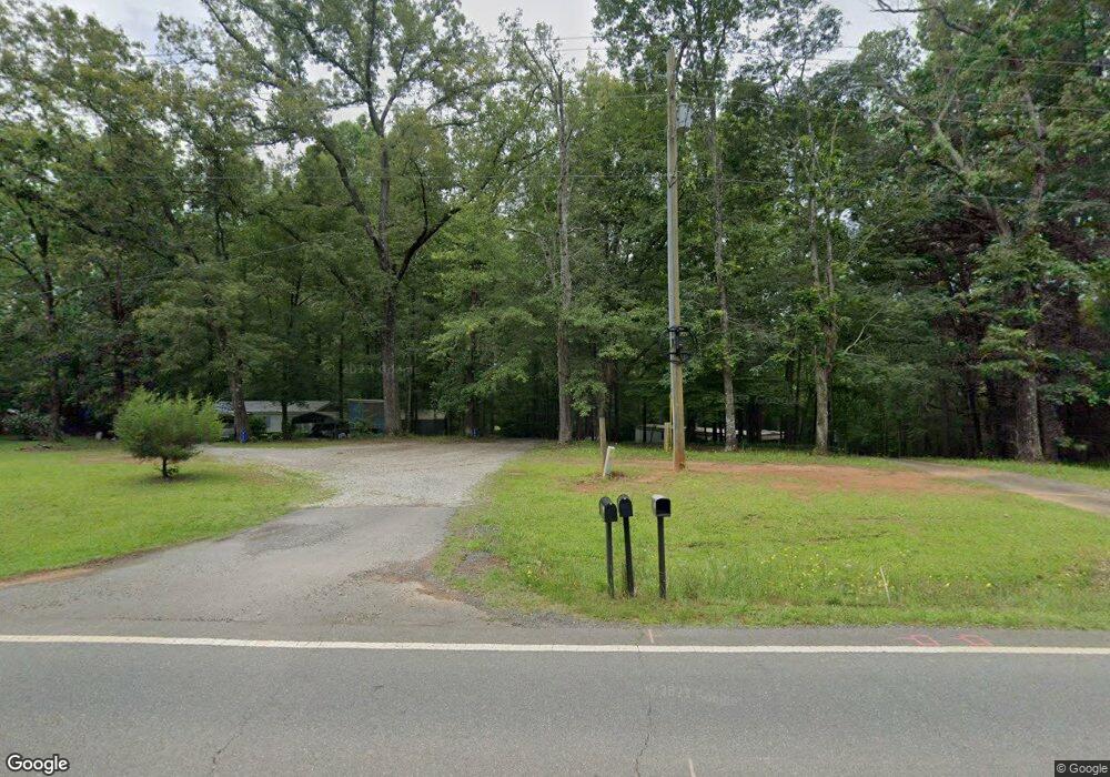
9644 Ga Highway 74 Macon, GA 31220
Estimated Value: $430,000
3
Beds
3
Baths
2,357
Sq Ft
$182/Sq Ft
Est. Value
About This Home
This home is located at 9644 Ga Highway 74, Macon, GA 31220 and is currently estimated at $430,000, approximately $182 per square foot. 9644 Ga Highway 74 is a home located in Monroe County with nearby schools including Samuel E. Hubbard Elementary School and Mary Persons High School.
Ownership History
Date
Name
Owned For
Owner Type
Purchase Details
Closed on
Jun 18, 2020
Sold by
Capital City Bank
Bought by
Hart David Lee
Current Estimated Value
Purchase Details
Closed on
May 16, 2000
Sold by
Ridley William F
Bought by
Hart David Lee
Purchase Details
Closed on
Oct 2, 1998
Sold by
Ridley William F
Bought by
Hart David Lee
Purchase Details
Closed on
Aug 31, 1987
Sold by
Hart Theodosia D
Bought by
Ridley William F
Create a Home Valuation Report for This Property
The Home Valuation Report is an in-depth analysis detailing your home's value as well as a comparison with similar homes in the area
Home Values in the Area
Average Home Value in this Area
Purchase History
| Date | Buyer | Sale Price | Title Company |
|---|---|---|---|
| Hart David Lee | -- | -- | |
| Hart David Lee | -- | -- | |
| Hart David Lee | $7,000 | -- | |
| Hart David Lee | $7,000 | -- | |
| Ridley William F | $8,500 | -- |
Source: Public Records
Tax History Compared to Growth
Tax History
| Year | Tax Paid | Tax Assessment Tax Assessment Total Assessment is a certain percentage of the fair market value that is determined by local assessors to be the total taxable value of land and additions on the property. | Land | Improvement |
|---|---|---|---|---|
| 2024 | $253 | $9,000 | $9,000 | $0 |
| 2023 | $243 | $9,000 | $9,000 | $0 |
| 2022 | $244 | $9,000 | $9,000 | $0 |
| 2021 | $252 | $9,000 | $9,000 | $0 |
| 2020 | $2,831 | $110,544 | $32,920 | $77,624 |
| 2019 | $2,045 | $110,544 | $32,920 | $77,624 |
| 2018 | $2,047 | $110,544 | $32,920 | $77,624 |
| 2017 | $3,213 | $110,544 | $32,920 | $77,624 |
| 2016 | $1,939 | $110,544 | $32,920 | $77,624 |
| 2015 | $1,836 | $110,544 | $32,920 | $77,624 |
| 2014 | $1,768 | $110,544 | $32,920 | $77,624 |
Source: Public Records
Map
Nearby Homes
- 137 Shady Dale Dr
- 2198 Dennis Rd
- 375 Bagley Rd
- 9390 Hopewell Rd
- 8294 Shelley Trail
- 2550 Midway Rd
- 402 Harbor Cove Dr
- 402 Harbor Cove Dr Unit 32
- 104 Peninsula Ave
- 104 Peninsula Ave Unit LOT 49
- 519 Bluewater Bay Dr
- 112 Peninsula Ave
- 511 Bluewater Bay Dr
- 140 Peninsula Ave
- 156 Peninsula Ave
- Plan 3040 at Barrington Place
- Plan 2700 at Barrington Place
- Plan 2620 at Barrington Place
- Plan 2100 at Barrington Place
- Plan 2604 at Barrington Place
- 9600 Ga Highway 74
- 9610 Ga Highway 74
- 118 Montpelier Church Rd
- 10192 Lower Thomaston Rd
- 156 Montpelier Church Rd
- 111 Montpelier Church Rd
- 9579 Ga Highway 74
- 137 Montpelier Church Rd
- 117 Montpelier Church Rd
- 9489 Ga Highway 74
- 3355 Montpelier Station Rd
- 9485 Ga Highway 74
- 9485 Ga Highway 74
- 10068 Lower Thomaston Rd
- 100 Lower Simmons Rd
- 88 Lower Simmons Rd
- 234 Lower Simmons Rd
- 20 Lower Simmons Rd
- 0 Maynard Mill Farm Unit 20240031
- 0 Maynard Mill Farm Unit 115094