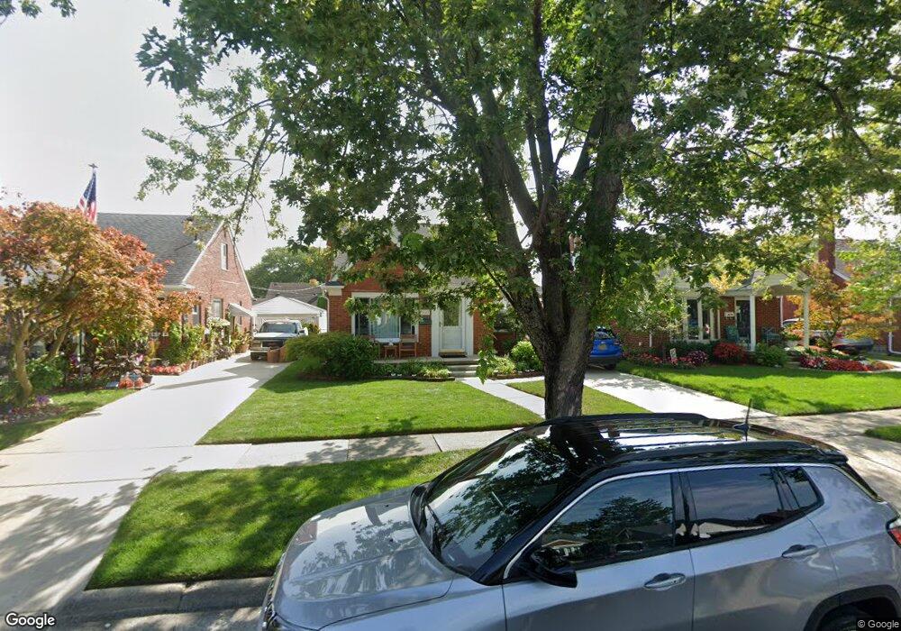
9647 Colwell Ave Allen Park, MI 48101
Estimated Value: $224,831 - $255,000
--
Bed
--
Bath
1,172
Sq Ft
$207/Sq Ft
Est. Value
About This Home
This home is located at 9647 Colwell Ave, Allen Park, MI 48101 and is currently estimated at $242,708, approximately $207 per square foot. 9647 Colwell Ave is a home located in Wayne County with nearby schools including Lindemann Elementary School, Allen Park Middle School, and Allen Park High School.
Ownership History
Date
Name
Owned For
Owner Type
Purchase Details
Closed on
Aug 24, 2004
Sold by
West Darren and West Darlene S
Bought by
Jesue Pauline M
Current Estimated Value
Purchase Details
Closed on
Jan 11, 2002
Sold by
Simpson Kenneth L
Bought by
West Darlene S
Create a Home Valuation Report for This Property
The Home Valuation Report is an in-depth analysis detailing your home's value as well as a comparison with similar homes in the area
Home Values in the Area
Average Home Value in this Area
Purchase History
| Date | Buyer | Sale Price | Title Company |
|---|---|---|---|
| Jesue Pauline M | $164,000 | Minnesota Title Agency | |
| West Darlene S | $140,000 | -- |
Source: Public Records
Tax History Compared to Growth
Tax History
| Year | Tax Paid | Tax Assessment Tax Assessment Total Assessment is a certain percentage of the fair market value that is determined by local assessors to be the total taxable value of land and additions on the property. | Land | Improvement |
|---|---|---|---|---|
| 2025 | $2,552 | $98,500 | $0 | $0 |
| 2024 | $2,552 | $94,400 | $0 | $0 |
| 2023 | $2,439 | $86,100 | $0 | $0 |
| 2022 | $2,923 | $76,900 | $0 | $0 |
| 2021 | $2,845 | $71,300 | $0 | $0 |
| 2020 | $2,809 | $64,900 | $0 | $0 |
| 2019 | $2,785 | $62,100 | $0 | $0 |
| 2018 | $2,190 | $53,300 | $0 | $0 |
| 2017 | $1,075 | $52,700 | $0 | $0 |
| 2016 | $2,731 | $50,600 | $0 | $0 |
| 2015 | $4,294 | $46,200 | $0 | $0 |
| 2013 | $4,160 | $44,000 | $0 | $0 |
| 2012 | $2,226 | $42,400 | $10,300 | $32,100 |
Source: Public Records
Map
Nearby Homes
- 9804 Hubert Ave
- 9280 Ruth Ave
- 9260 Ruth Ave
- 9949 Sterling Ave
- 9255 Hubert Ave
- 9885 Hubert Ave
- 9334 Joseph Ave
- 2208 London Ave
- 2160 Malvina St
- 2315 Hartwick Hwy
- 15213 Champaign Rd
- 8928 Becker Ave
- 2279 Detroit Ave
- 15037 Belmont Ave
- 9347 Chatham Ave
- 2111 Pagel Ave
- 2316 Detroit Ave
- 2355 Progress Ave
- 2366 Progress Ave
- 2159 Detroit Ave
- 9655 Colwell Ave
- 9639 Colwell Ave
- 9631 Colwell Ave
- 9663 Colwell Ave
- 9623 Colwell Ave
- 9671 Colwell Ave
- 9656 Sterling Ave
- 9640 Sterling Ave
- 9664 Sterling Ave
- 9632 Sterling Ave
- 9615 Colwell Ave
- 9679 Colwell Ave
- 9672 Sterling Ave
- 9648 Colwell Ave
- 9640 Colwell Ave
- 9624 Sterling Ave
- 9656 Colwell Ave
- 9632 Colwell Ave
- 9664 Colwell Ave
- 9680 Sterling Ave