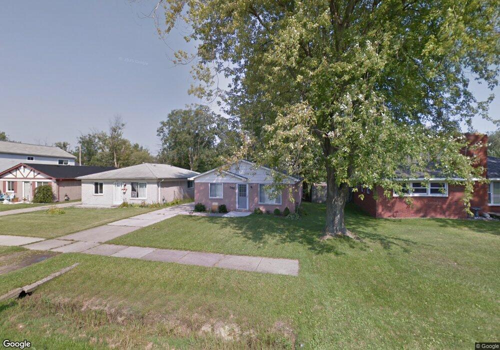
9649 Wilkie St Taylor, MI 48180
Estimated Value: $152,000 - $168,000
--
Bed
--
Bath
1,014
Sq Ft
$155/Sq Ft
Est. Value
About This Home
This home is located at 9649 Wilkie St, Taylor, MI 48180 and is currently estimated at $157,294, approximately $155 per square foot. 9649 Wilkie St is a home located in Wayne County with nearby schools including Holland Elementary School, Hoover Middle School, and Taylor High School.
Ownership History
Date
Name
Owned For
Owner Type
Purchase Details
Closed on
Mar 6, 2019
Sold by
Cipponeri Jim
Bought by
Cipponeri Jim and Cipponeri John
Current Estimated Value
Purchase Details
Closed on
Nov 12, 2004
Sold by
Rl & Dg Investments Llc
Bought by
Cipponeri Jim
Purchase Details
Closed on
Dec 26, 2002
Sold by
Oakley Orville E
Bought by
Rl & Dg Investments Llc
Purchase Details
Closed on
Dec 23, 2002
Sold by
Oakley Orville E
Bought by
Metropolitan Properties Llc
Purchase Details
Closed on
Jun 27, 2002
Sold by
Oakley Orville E
Bought by
Southwestern Mutual Funding Co
Create a Home Valuation Report for This Property
The Home Valuation Report is an in-depth analysis detailing your home's value as well as a comparison with similar homes in the area
Home Values in the Area
Average Home Value in this Area
Purchase History
| Date | Buyer | Sale Price | Title Company |
|---|---|---|---|
| Cipponeri Jim | -- | Michigan Title Ins Agcy Inc | |
| Cipponeri Jim | $97,000 | Commonwealth Land Title | |
| Rl & Dg Investments Llc | $48,780 | Commonwealth Land Title | |
| Metropolitan Properties Llc | $5,000 | -- | |
| Southwestern Mutual Funding Co | $32,795 | -- |
Source: Public Records
Tax History Compared to Growth
Tax History
| Year | Tax Paid | Tax Assessment Tax Assessment Total Assessment is a certain percentage of the fair market value that is determined by local assessors to be the total taxable value of land and additions on the property. | Land | Improvement |
|---|---|---|---|---|
| 2025 | $1,377 | $61,600 | $0 | $0 |
| 2024 | $1,377 | $55,300 | $0 | $0 |
| 2023 | $1,627 | $56,500 | $0 | $0 |
| 2022 | $1,314 | $49,100 | $0 | $0 |
| 2021 | $1,433 | $41,600 | $0 | $0 |
| 2020 | $1,419 | $41,100 | $0 | $0 |
| 2019 | $141,940 | $45,500 | $0 | $0 |
| 2018 | $1,129 | $36,800 | $0 | $0 |
| 2017 | $581 | $34,200 | $0 | $0 |
| 2016 | $1,376 | $33,200 | $0 | $0 |
| 2015 | $2,550 | $25,900 | $0 | $0 |
| 2013 | $2,540 | $26,000 | $0 | $0 |
| 2012 | $1,141 | $25,700 | $6,900 | $18,800 |
Source: Public Records
Map
Nearby Homes
- 25339 Baker St
- 25315 Baker St
- 9915 Beech Daly Rd
- 25380 Statler St
- 25341 Kinyon St
- 10051 Fairview St
- 10160 Gulley St
- 10053 Michael St
- 10352 Gulley St
- 10057 Westlake St
- 9450 Continental Dr
- 8883 Beech Daly Rd
- 8853 Beech Daly Rd
- 25199 Crisler St
- 24432 Kensington St
- 9425 Glenis St
- 0 Goddard Unit 20251010304
- 24440 Melody Ln
- 24329 Wick Rd
- 11081 Coventry Ct Unit 31