965 Applecross Dr Roswell, GA 30075
Estimated Value: $1,258,000 - $1,799,000
5
Beds
5
Baths
5,213
Sq Ft
$293/Sq Ft
Est. Value
About This Home
This home is located at 965 Applecross Dr, Roswell, GA 30075 and is currently estimated at $1,529,281, approximately $293 per square foot. 965 Applecross Dr is a home with nearby schools including Sweet Apple Elementary School, Elkins Pointe Middle School, and Crabapple Montessori School.
Ownership History
Date
Name
Owned For
Owner Type
Purchase Details
Closed on
Jun 12, 2014
Sold by
Sharp Residential Llc
Bought by
Marcus Jonathan C and Marcus Leslie G
Current Estimated Value
Home Financials for this Owner
Home Financials are based on the most recent Mortgage that was taken out on this home.
Original Mortgage
$636,925
Outstanding Balance
$485,005
Interest Rate
4.23%
Mortgage Type
New Conventional
Estimated Equity
$1,044,276
Purchase Details
Closed on
Oct 10, 2013
Sold by
King Estates Capital Holdi
Bought by
Sharp Residential Llc
Create a Home Valuation Report for This Property
The Home Valuation Report is an in-depth analysis detailing your home's value as well as a comparison with similar homes in the area
Home Values in the Area
Average Home Value in this Area
Purchase History
| Date | Buyer | Sale Price | Title Company |
|---|---|---|---|
| Marcus Jonathan C | $796,168 | -- | |
| Sharp Residential Llc | -- | -- |
Source: Public Records
Mortgage History
| Date | Status | Borrower | Loan Amount |
|---|---|---|---|
| Open | Marcus Jonathan C | $636,925 |
Source: Public Records
Tax History Compared to Growth
Tax History
| Year | Tax Paid | Tax Assessment Tax Assessment Total Assessment is a certain percentage of the fair market value that is determined by local assessors to be the total taxable value of land and additions on the property. | Land | Improvement |
|---|---|---|---|---|
| 2025 | $1,708 | $377,280 | $128,800 | $248,480 |
| 2023 | $10,649 | $377,280 | $128,800 | $248,480 |
| 2022 | $10,649 | $377,280 | $128,800 | $248,480 |
| 2021 | $10,746 | $366,280 | $125,040 | $241,240 |
| 2020 | $9,123 | $361,920 | $123,560 | $238,360 |
| 2019 | $1,708 | $355,520 | $121,360 | $234,160 |
| 2018 | $9,280 | $347,200 | $118,520 | $228,680 |
| 2017 | $8,942 | $318,432 | $108,712 | $209,720 |
| 2016 | $8,942 | $318,430 | $108,710 | $209,720 |
| 2015 | $10,414 | $318,430 | $108,710 | $209,720 |
| 2014 | $8,358 | $272,680 | $153,160 | $119,520 |
Source: Public Records
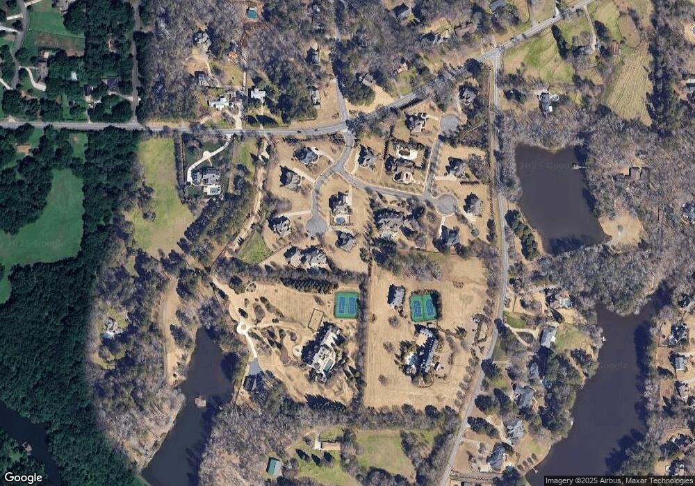
Map
Nearby Homes
- 12620 Old Surrey Place
- 130 Cedarwood Ln
- 160 Cedarwood Ln
- 130 Nova Ln
- 515 Kent Rd
- 120 Cedarwood Ln
- 140 Cedarwood Ln
- 105 Kensington Pond Ct
- 180 Cedarwood Ln
- 150 Cedarwood Ln
- 235 Winterberry Way
- 12867 Etris Walk
- 0 Cox Rd Unit 7687502
- 0 Cox Rd Unit 10651525
- 0 Cox Rd Unit 7687480
- 0 Cox Rd Unit 10651522
- 915 Ebenezer Rd
- 12555 Sibley Ln
- 161 Brook Ln
- 680 Brookfield Pkwy Unit 1
- 330 King Estates Dr
- 950 Applecross Dr
- 320 King Estates Dr
- 960 Applecross Dr
- 325 King Estates Dr
- 810 King Estates Ct
- 980 Applecross Dr
- 970 Applecross Dr
- 310 King Estates Dr
- 676 Cox Rd
- 300 King Estates Dr
- 820 King Estates Ct
- 12430 King Rd
- 815 King Estates Ct
- 820 King Estates Ct
- 1000 Applecross Dr
- 1005 Applecross Dr
- 0 Applecross Dr Unit 2770526
- 00 Applecross
- 0 Applecross Dr Unit 7282792