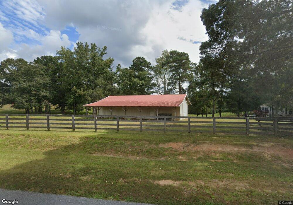
965 Beaverpond Rd Carrollton, GA 30117
Estimated Value: $284,000 - $317,000
3
Beds
2
Baths
1,887
Sq Ft
$159/Sq Ft
Est. Value
About This Home
This home is located at 965 Beaverpond Rd, Carrollton, GA 30117 and is currently estimated at $300,060, approximately $159 per square foot. 965 Beaverpond Rd is a home located in Carroll County with nearby schools including Mt. Zion Elementary School, Mt. Zion Middle School, and Mt. Zion High School.
Ownership History
Date
Name
Owned For
Owner Type
Purchase Details
Closed on
Jul 13, 2018
Sold by
Robinson Jeanette
Bought by
Higbee Clinton J and Higbee Christine A
Current Estimated Value
Purchase Details
Closed on
Jan 28, 2016
Sold by
Robinson William W
Bought by
Robinson Jeanette
Purchase Details
Closed on
Oct 10, 2006
Sold by
Not Provided
Bought by
Robinson W W
Purchase Details
Closed on
Sep 8, 2003
Sold by
Perkins Clifford C
Bought by
Robinson W W
Purchase Details
Closed on
Jul 16, 1986
Bought by
Perkins Clifford C
Create a Home Valuation Report for This Property
The Home Valuation Report is an in-depth analysis detailing your home's value as well as a comparison with similar homes in the area
Home Values in the Area
Average Home Value in this Area
Purchase History
| Date | Buyer | Sale Price | Title Company |
|---|---|---|---|
| Higbee Clinton J | $137,900 | -- | |
| Robinson Jeanette | -- | -- | |
| Robinson W W | -- | -- | |
| Robinson W W | $12,000 | -- | |
| Perkins Clifford C | -- | -- |
Source: Public Records
Tax History Compared to Growth
Tax History
| Year | Tax Paid | Tax Assessment Tax Assessment Total Assessment is a certain percentage of the fair market value that is determined by local assessors to be the total taxable value of land and additions on the property. | Land | Improvement |
|---|---|---|---|---|
| 2024 | $2,315 | $102,347 | $5,280 | $97,067 |
| 2023 | $2,315 | $93,474 | $5,280 | $88,194 |
| 2022 | $1,906 | $75,986 | $5,280 | $70,706 |
| 2021 | $1,687 | $65,820 | $5,280 | $60,540 |
| 2020 | $1,522 | $59,298 | $5,280 | $54,018 |
| 2019 | $1,390 | $53,707 | $5,280 | $48,427 |
| 2018 | $1,104 | $42,025 | $5,280 | $36,745 |
| 2017 | $1,107 | $42,025 | $5,280 | $36,745 |
| 2016 | $1,133 | $43,008 | $5,280 | $37,728 |
| 2015 | $819 | $29,285 | $5,280 | $24,005 |
| 2014 | $822 | $29,285 | $5,280 | $24,005 |
Source: Public Records
Map
Nearby Homes
- 206 Randall Dr
- 313 Lucy Ln
- LOT 2 Bowdon Junction Rd
- LOT 1 Bowdon Junction Rd
- LOT 6 Bowdon Junction Rd
- 61 Meadowbrook Ln
- 38 Joshua Way
- 30 Joshua Way
- 305 Lambert Overlook Cir
- 898 Bowdon Junction Rd
- 35 N Robinson Dr
- The Thomas 2 Plan at Lambert Overlook
- The Thomas Plan at Lambert Overlook
- The Brook Plan at Lambert Overlook
- 206 Eagle Watch Dr
- 336 Katie Ln
- 101, 109 Charlcie Ct
- 265 Robinson Dr
- 355 Meadowbrook Ln
- 174 Katie Ln
- 965 Beaverpond Rd
- 965 Beaverpond Rd
- 965 Beaverpond Rd
- 965 Beaverpond Rd
- 965 Beaverpond Rd
- 965 Beaverpond Rd
- 225 Maxwell Rd
- 454 Maxwell Rd
- 943 Beaver Pond Rd
- 515 Bowdon Junction Rd
- 193 Maxwell Rd
- 472 Bowdon Junction Rd
- 893 Beaverpond Rd
- 348 Maxwell Rd
- 594 Bowdon Junction Rd
- 345 Maxwell Rd
- 571 Bowdon Junction Rd
- 588 Bowdon Junction Rd
- 628 Bowdon Junction Rd
- 793 Beaver Pond Rd