965 Bush Rd Barnesville, GA 30204
Estimated Value: $520,000 - $1,091,000
5
Beds
5
Baths
3,536
Sq Ft
$211/Sq Ft
Est. Value
About This Home
This home is located at 965 Bush Rd, Barnesville, GA 30204 and is currently estimated at $744,768, approximately $210 per square foot. 965 Bush Rd is a home with nearby schools including Lamar County Primary School, Lamar County Elementary School, and Lamar County Middle School.
Ownership History
Date
Name
Owned For
Owner Type
Purchase Details
Closed on
Dec 16, 2014
Bought by
Rhyne Catherine R and Rhyne Leonard
Current Estimated Value
Purchase Details
Closed on
Nov 21, 2014
Bought by
Rhyne Catherine R and Rhyne Leonard A
Purchase Details
Closed on
Mar 9, 2005
Bought by
Rhyne Catherine R and Rhyne Leonard A
Purchase Details
Closed on
Mar 5, 2002
Sold by
Rhyne Catherine R
Bought by
Rhyne Catherine R and Rhyne Leonard A
Create a Home Valuation Report for This Property
The Home Valuation Report is an in-depth analysis detailing your home's value as well as a comparison with similar homes in the area
Home Values in the Area
Average Home Value in this Area
Purchase History
| Date | Buyer | Sale Price | Title Company |
|---|---|---|---|
| Rhyne Catherine R | -- | -- | |
| Rhyne Catherine R | -- | -- | |
| Rhyne Catherine R | -- | -- | |
| Rhyne Catherine R | -- | -- |
Source: Public Records
Tax History Compared to Growth
Tax History
| Year | Tax Paid | Tax Assessment Tax Assessment Total Assessment is a certain percentage of the fair market value that is determined by local assessors to be the total taxable value of land and additions on the property. | Land | Improvement |
|---|---|---|---|---|
| 2024 | $2,940 | $215,442 | $103,400 | $112,042 |
| 2023 | $3,061 | $211,962 | $103,400 | $108,562 |
| 2022 | $2,799 | $175,619 | $75,837 | $99,782 |
| 2021 | $1,828 | $135,547 | $75,837 | $59,710 |
| 2020 | $1,922 | $141,008 | $81,298 | $59,710 |
| 2019 | $1,913 | $141,008 | $81,298 | $59,710 |
| 2018 | $1,823 | $141,008 | $81,298 | $59,710 |
| 2017 | $1,821 | $141,008 | $81,298 | $59,710 |
| 2016 | $1,829 | $141,008 | $81,298 | $59,710 |
| 2015 | $1,831 | $141,008 | $81,298 | $59,710 |
| 2014 | $1,750 | $141,724 | $82,014 | $59,710 |
| 2013 | -- | $141,723 | $82,014 | $59,709 |
Source: Public Records
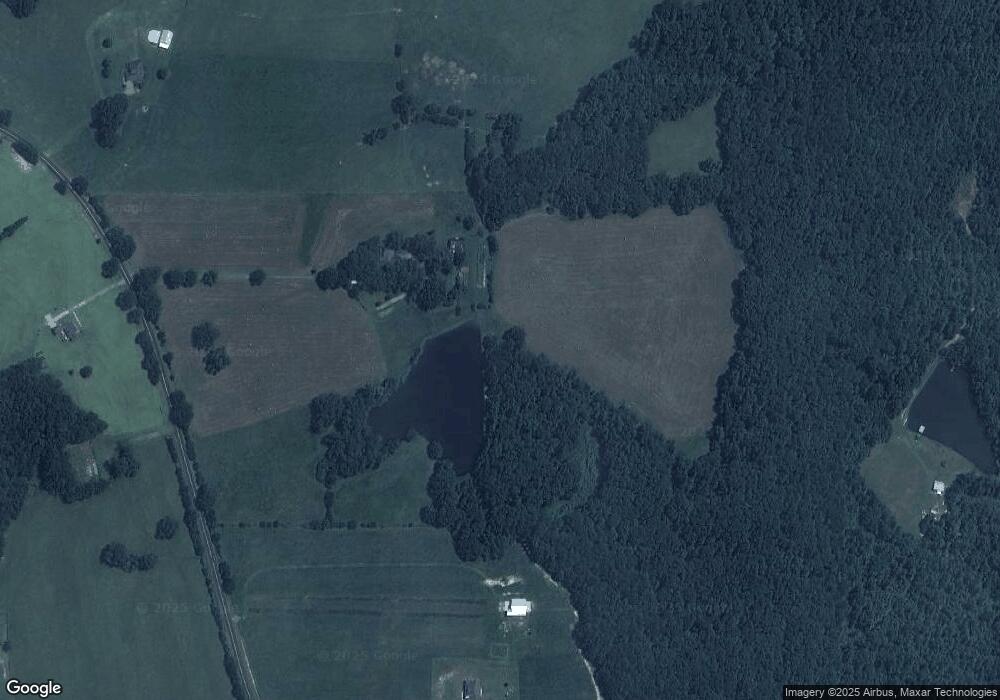
Map
Nearby Homes
- 935 Gordon Rd
- 397 Brent Rd
- TRACT 6 Ramah Church Rd Unit 6
- TRACT 9 Ramah Church Rd Unit 9
- 342 Ramah Church Rd
- 125 Sardis Church Rd
- 387 Fredonia Church Rd
- 0 Coffey Rd Unit 10571841
- 272 Community House Rd
- 284 Community House Rd
- 0 Us Highway 41
- 0 Hannah St Unit LOT 1 10587177
- 0 Hannah Ct Unit LOT 14 10587190
- 0 Hannah Ct Unit LOT 13 10587187
- 0 Hannah Ct Unit LOT 10 10587183
- 117 Big Oak Dr
- 0 Bush St Unit 10582678
- 124 Laurel Dr
- 239 Walters Rd Unit TRACT 5
- 239 Walters Rd Unit TRACT 3
- 983 Bush Rd
- 962 Bush Rd
- 943 Bush Rd
- 986 Bush Rd
- 733 Fredonia Church Rd
- 721 Fredonia Church Rd Unit 7
- 709 Fredonia Church Rd Unit 6
- 1003 Bush Rd
- 1004 Bush Rd
- 887 Bush Rd
- 1016 Bush Rd
- 1005 Bush Rd
- 511 Bush Rd
- 519 Bush Rd
- 706 Fredonia Church Rd
- 585 Bush Rd
- 826 Fredonia Church Rd
- 826 Fredonia Church Rd
- 856 Fredonia Church Rd
- 726 Fredonia Church Rd