965 N Latson Rd Howell, MI 48843
Estimated Value: $683,000 - $771,809
7
Beds
7
Baths
5,442
Sq Ft
$134/Sq Ft
Est. Value
About This Home
This home is located at 965 N Latson Rd, Howell, MI 48843 and is currently estimated at $730,452, approximately $134 per square foot. 965 N Latson Rd is a home located in Livingston County with nearby schools including Ruahmah J. Hutchings Elementary, Parker Middle School, and Howell High School.
Ownership History
Date
Name
Owned For
Owner Type
Purchase Details
Closed on
Jul 18, 2018
Sold by
Gill Terry and Gill Karen
Bought by
Terry Gill Lt
Current Estimated Value
Purchase Details
Closed on
Oct 22, 2012
Sold by
Coughran Jessica L
Bought by
Gill Terry and Gill Karen
Purchase Details
Closed on
Sep 22, 2009
Sold by
Citibank Na
Bought by
Coughran Jessica L
Purchase Details
Closed on
Sep 10, 2003
Sold by
Gummerus John E and Gummerus Marianna J
Bought by
Bondie Chad and Bondie Shannone
Home Financials for this Owner
Home Financials are based on the most recent Mortgage that was taken out on this home.
Original Mortgage
$322,700
Interest Rate
6.49%
Mortgage Type
Purchase Money Mortgage
Create a Home Valuation Report for This Property
The Home Valuation Report is an in-depth analysis detailing your home's value as well as a comparison with similar homes in the area
Home Values in the Area
Average Home Value in this Area
Purchase History
| Date | Buyer | Sale Price | Title Company |
|---|---|---|---|
| Terry Gill Lt | -- | -- | |
| Gill Terry | -- | -- | |
| Coughran Jessica L | $237,000 | -- | |
| Bondie Chad | $448,300 | Philip R Seaver Title Co Inc |
Source: Public Records
Mortgage History
| Date | Status | Borrower | Loan Amount |
|---|---|---|---|
| Previous Owner | Bondie Chad | $322,700 |
Source: Public Records
Tax History
| Year | Tax Paid | Tax Assessment Tax Assessment Total Assessment is a certain percentage of the fair market value that is determined by local assessors to be the total taxable value of land and additions on the property. | Land | Improvement |
|---|---|---|---|---|
| 2025 | $3,975 | $380,700 | $0 | $0 |
| 2024 | $3,862 | $362,200 | $0 | $0 |
| 2023 | $3,689 | $330,900 | $0 | $0 |
| 2022 | $5,169 | $271,300 | $0 | $0 |
| 2020 | $5,169 | $271,300 | $0 | $0 |
| 2019 | $5,095 | $253,800 | $0 | $0 |
| 2018 | $5,035 | $241,000 | $0 | $0 |
| 2017 | $4,967 | $237,200 | $0 | $0 |
| 2016 | $4,939 | $230,400 | $0 | $0 |
| 2014 | $4,578 | $195,500 | $0 | $0 |
| 2012 | $4,578 | $188,500 | $0 | $0 |
Source: Public Records
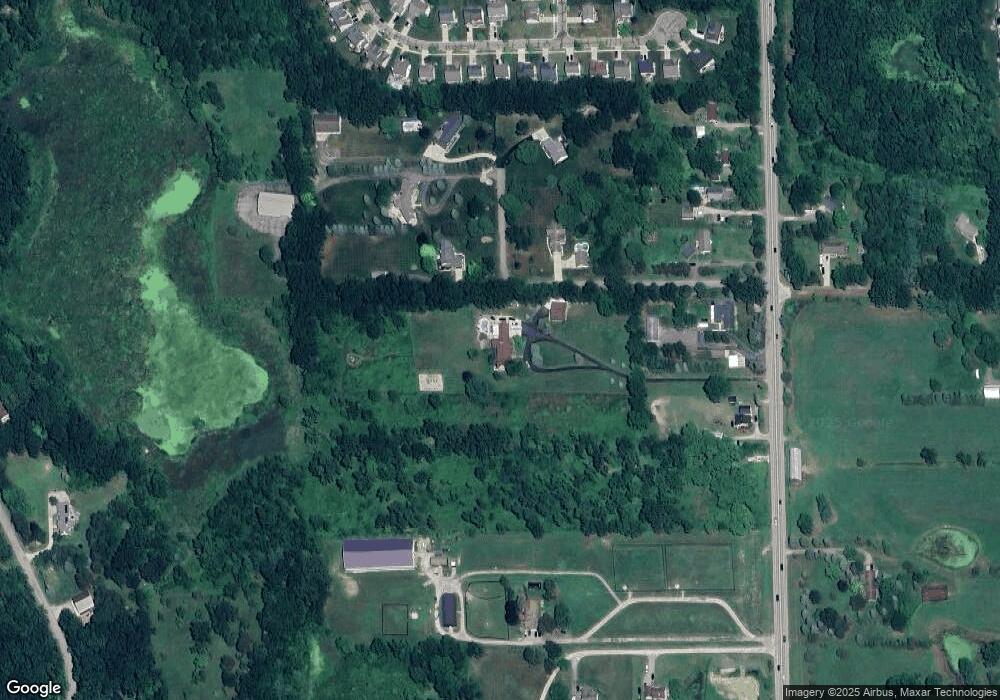
Map
Nearby Homes
- 3991 Rainier Dr Unit 1
- 1433 Callaway Ct Unit 258
- 636 Zion Ct
- TBD Cannonade Loop
- 571 Cannonade Loop
- 523 Cannonade Loop
- 4112 Peach Tree Ln
- 475 Cannonade Loop
- The Austin Plan at Broadmoor
- The Charlotte Plan at Broadmoor
- The Harrison Plan at Broadmoor
- The Bloomington Plan at Broadmoor
- The Columbia Plan at Broadmoor
- 487 Cannonade Loop
- 559 Cannonade Loop
- 499 Cannonade Loop
- 2830 Bonny Brook Dr Unit 3
- Lot 1 of Lockes St
- 2643 Kerria Dr Unit 65
- 1570 Princewood Blvd
- 3838 Gillett Ct
- 985 N Latson Rd
- 3829 Gillett Ct
- 1017 N Latson Rd
- 3792 Gillett Ct
- 945 N Latson Rd
- 1057 N Latson Rd
- 3807 Gillett Ct
- 1065 N Latson Rd
- 841 N Latson Rd
- 3906 Whirlaway Ln
- 3894 Whirlaway Ln
- 3918 Whirlaway Ln
- 1087 N Latson Rd
- 3930 Whirlaway Ln
- 3882 Whirlaway Ln
- 3942 Whirlaway Ln
- 3870 Whirlaway Ln
- 3954 Whirlaway Ln
- 3858 Whirlaway Ln
Your Personal Tour Guide
Ask me questions while you tour the home.