965 N Lecanto Hwy Lecanto, FL 34461
Lecanto Neighborhood
--
Bed
4
Baths
6,300
Sq Ft
5.14
Acres
About This Home
This home is located at 965 N Lecanto Hwy, Lecanto, FL 34461. 965 N Lecanto Hwy is a home located in Citrus County with nearby schools including Lecanto Primary School, Lecanto Middle School, and Lecanto High School.
Ownership History
Date
Name
Owned For
Owner Type
Purchase Details
Closed on
Dec 30, 2022
Sold by
Shepherds Way Baptist Church Inc
Bought by
Citrus County Florida
Purchase Details
Closed on
Apr 4, 2004
Sold by
Alachua Baptist Assn Inc
Bought by
Shepherds Way Baptist Church Inc
Home Financials for this Owner
Home Financials are based on the most recent Mortgage that was taken out on this home.
Original Mortgage
$425,000
Interest Rate
5.54%
Mortgage Type
Commercial
Purchase Details
Closed on
Nov 1, 2002
Bought by
Shepherds Way Baptist Church Inc
Create a Home Valuation Report for This Property
The Home Valuation Report is an in-depth analysis detailing your home's value as well as a comparison with similar homes in the area
Home Values in the Area
Average Home Value in this Area
Purchase History
| Date | Buyer | Sale Price | Title Company |
|---|---|---|---|
| Citrus County Florida | -- | -- | |
| Shepherds Way Baptist Church Inc | -- | -- | |
| Shepherds Way Baptist Church Inc | $135,000 | -- |
Source: Public Records
Mortgage History
| Date | Status | Borrower | Loan Amount |
|---|---|---|---|
| Previous Owner | Shepherds Way Baptist Church Inc | $425,000 |
Source: Public Records
Tax History Compared to Growth
Tax History
| Year | Tax Paid | Tax Assessment Tax Assessment Total Assessment is a certain percentage of the fair market value that is determined by local assessors to be the total taxable value of land and additions on the property. | Land | Improvement |
|---|---|---|---|---|
| 2024 | -- | $809,380 | $208,260 | $601,120 |
| 2023 | -- | $793,070 | $208,260 | $584,810 |
| 2022 | $0 | $688,330 | $216,830 | $471,500 |
| 2021 | $10,153 | $673,230 | $211,230 | $462,000 |
| 2020 | $10,302 | $683,120 | $211,230 | $471,890 |
| 2019 | $0 | $682,110 | $211,230 | $470,880 |
| 2018 | $0 | $663,740 | $211,230 | $452,510 |
| 2017 | $0 | $675,590 | $211,230 | $464,360 |
| 2016 | $0 | $700,610 | $211,230 | $489,380 |
| 2015 | -- | $693,740 | $211,230 | $482,510 |
| 2014 | -- | $700,500 | $211,483 | $489,017 |
Source: Public Records
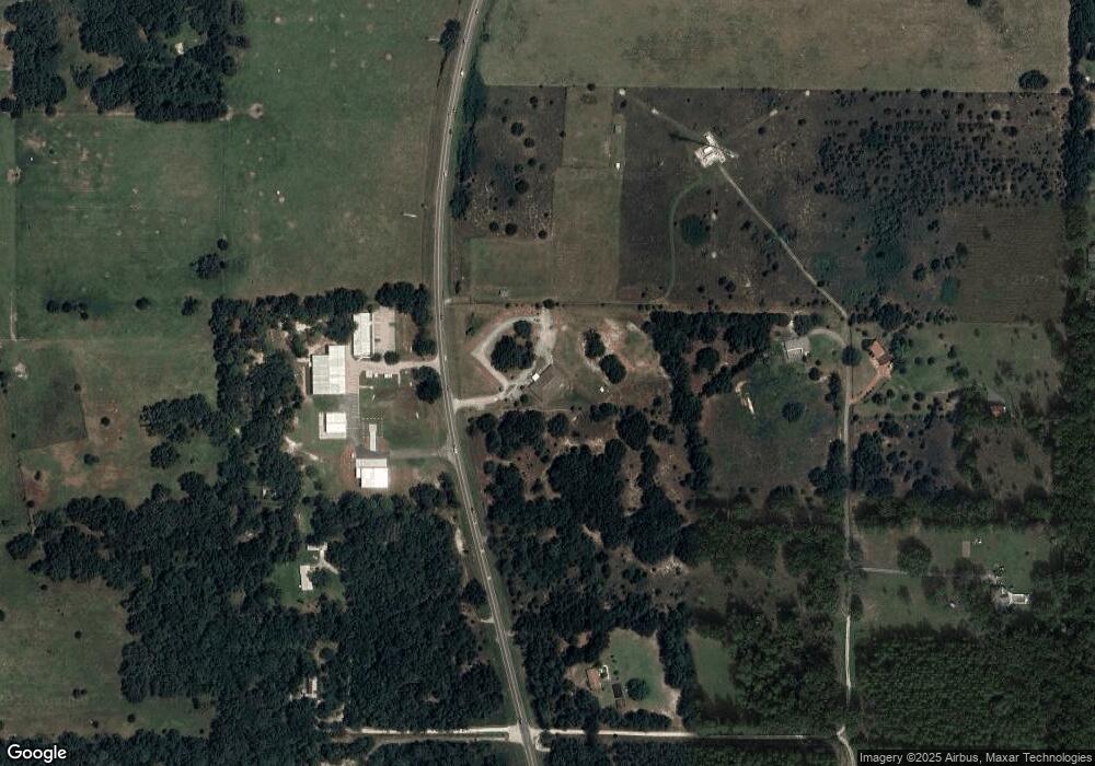
Map
Nearby Homes
- 2900 W Sunrise St
- 1087 N Sloan Terrace
- 3695 W Horace Allen St
- 3839 W Horace Allen St
- 1341 N Balko Path
- 824 N Maylen Ave
- 2658 W Laureen St
- 1741 N Crooked Branch Dr
- 2767 W Norvell Bryant Hwy
- 1320 N Greentree Terrace
- 1231 N Greentree Terrace
- 2853 W Norvell Bryant Hwy
- 2140 W Cindy Ln
- 2219 W Middle Ln
- 2251 W Middle Ln
- 2231 W Beaumont Ln
- 2553 W Norvell Bryant Hwy
- 1020 N Ottawa Ave
- 89 S Scarboro Ave
- 4164 W Gulf To Lake Hwy
- 920 N Lecanto Hwy
- 868 N Lecanto Hwy
- 917 N Lecanto Hwy
- 575 N Lecanto Hwy
- 3429 W Fennessy Ln
- 781 N Lecanto Hwy
- 3455 W Fennessy Ln
- 990 N Obrien Point
- 740 N Lecanto Hwy
- 730 N Lecanto Hwy
- 3550 W Starlite Path
- 991 N Obrien Point
- 675 N Lecanto Hwy
- 0 W Starlite Path Unit 326858
- 1080 N Obrien Point
- 840 N Obrien Point
- 841 N Obrien Point
- 3500 W Horace Allen St
- 595 N Lecanto Hwy
- 593 N Lecanto Hwy