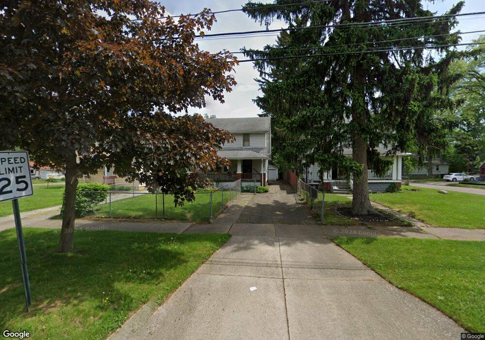
965 Packard Dr Akron, OH 44320
West Akron NeighborhoodEstimated Value: $90,000 - $127,000
About This Home
This home is located at 965 Packard Dr, Akron, OH 44320 and is currently estimated at $107,268, approximately $159 per square foot. 965 Packard Dr is a home located in Summit County with nearby schools including Emmanuel Christian Academy and Julie Billiart School Akron.
Ownership History
We collect this data history from publicly available records. To have your information removed, we recommend requesting removal directly through your county’s website.
Purchase Details
Home Financials for this Owner
Home Financials are based on the most recent Mortgage that was taken out on this home.Home Values in the Area
Average Home Value in this Area
Purchase History
We collect this data history from publicly available records. To have your information removed, we recommend requesting removal directly through your county’s website.
| Date | Buyer | Sale Price | Title Company |
|---|---|---|---|
| $57,000 | -- |
Mortgage History
We collect this data history from publicly available records. To have your information removed, we recommend requesting removal directly through your county’s website.
| Date | Status | Borrower | Loan Amount |
|---|---|---|---|
| Open | $51,300 |
Tax History
We collect this data history from publicly available records. To have your information removed, we recommend requesting removal directly through your county’s website.
| Year | Tax Paid | Tax Assessment Tax Assessment Total Assessment is a certain percentage of the fair market value that is determined by local assessors to be the total taxable value of land and additions on the property. | Land | Improvement |
|---|---|---|---|---|
| 2026 | $2,981 | $25,473 | $5,971 | $19,502 |
| 2024 | $1,378 | $25,473 | $5,971 | $19,502 |
| 2023 | $1,378 | $25,473 | $5,971 | $19,502 |
| 2022 | $1,094 | $15,645 | $3,619 | $12,026 |
| 2021 | $1,095 | $15,645 | $3,619 | $12,026 |
| 2020 | $1,079 | $15,650 | $3,620 | $12,030 |
| 2019 | $1,162 | $15,400 | $4,700 | $10,700 |
| 2018 | $1,147 | $15,400 | $4,700 | $10,700 |
| 2017 | $1,181 | $15,400 | $4,700 | $10,700 |
| 2016 | $1,182 | $15,630 | $4,700 | $10,930 |
| 2015 | $1,181 | $15,630 | $4,700 | $10,930 |
| 2014 | $1,172 | $15,630 | $4,700 | $10,930 |
| 2013 | $1,300 | $17,840 | $4,700 | $13,140 |
Map
- 1043 Slosson St
- 934 Packard Dr
- 979 Mercer Ave
- 1088 Packard Dr
- 890 Winton Ave
- 664 Noah Ave
- 807 Stoner St
- VL Mercer Ave
- 797 Stoner St
- 1161 Diagonal Rd
- 1090 Greenwood Ave
- 818 Euclid Ave
- 826 Dover Ave
- 1174 Mercer Ave
- 600 Grace Ave
- 1292 Diagonal Rd
- 1258 Crestview Ave
- 761 Glendora Ave
- 888 Greenwood Ave
- 687 Moreley Ave
- 977 Packard Dr
- 977 Packard Dr
- 987 Packard Dr
- 969 Packard Dr
- 993 Packard Dr
- 970 Peerless Ave
- 978 Peerless Ave
- 999 Packard Dr
- 980 Packard Dr
- 968 Packard Dr
- 986 Packard Dr
- 960 Peerless Ave
- 961 Packard Dr
- 990 Packard Dr
- 984 Peerless Ave
- 982 Peerless Ave
- 1003 Packard Dr
- 956 Peerless Ave
- 994 Packard Dr
- 988 Peerless Ave
Ask me questions while you tour the home.