965 Parkertown Rd Lavonia, GA 30553
Estimated Value: $477,000 - $1,069,000
3
Beds
4
Baths
4,400
Sq Ft
$195/Sq Ft
Est. Value
About This Home
This home is located at 965 Parkertown Rd, Lavonia, GA 30553 and is currently estimated at $859,310, approximately $195 per square foot. 965 Parkertown Rd is a home located in Franklin County with nearby schools including Franklin County High School.
Ownership History
Date
Name
Owned For
Owner Type
Purchase Details
Closed on
Aug 11, 2020
Sold by
Correia Land Holdings Inc
Bought by
Correia Family Farms Llc
Current Estimated Value
Home Financials for this Owner
Home Financials are based on the most recent Mortgage that was taken out on this home.
Original Mortgage
$248,223
Interest Rate
3.1%
Mortgage Type
New Conventional
Purchase Details
Closed on
Jul 2, 2020
Sold by
Gill Lucy H
Bought by
Correia Land Holdings Inc
Home Financials for this Owner
Home Financials are based on the most recent Mortgage that was taken out on this home.
Original Mortgage
$248,223
Interest Rate
3.1%
Mortgage Type
New Conventional
Purchase Details
Closed on
Feb 24, 2006
Sold by
Gill John T
Bought by
Gill Lucy H
Create a Home Valuation Report for This Property
The Home Valuation Report is an in-depth analysis detailing your home's value as well as a comparison with similar homes in the area
Home Values in the Area
Average Home Value in this Area
Purchase History
| Date | Buyer | Sale Price | Title Company |
|---|---|---|---|
| Correia Family Farms Llc | -- | -- | |
| Correia Land Holdings Inc | $235,000 | -- | |
| Foster John | $235,000 | -- | |
| Gill Lucy H | -- | -- |
Source: Public Records
Mortgage History
| Date | Status | Borrower | Loan Amount |
|---|---|---|---|
| Closed | Foster John | $248,223 |
Source: Public Records
Tax History Compared to Growth
Tax History
| Year | Tax Paid | Tax Assessment Tax Assessment Total Assessment is a certain percentage of the fair market value that is determined by local assessors to be the total taxable value of land and additions on the property. | Land | Improvement |
|---|---|---|---|---|
| 2024 | $5,825 | $326,505 | $98,521 | $227,984 |
| 2023 | $3,787 | $220,115 | $89,567 | $130,548 |
| 2022 | $422 | $70,092 | $69,498 | $594 |
| 2021 | $437 | $70,038 | $69,498 | $540 |
| 2020 | $2,193 | $117,844 | $54,670 | $63,174 |
| 2019 | $1,847 | $117,844 | $54,670 | $63,174 |
| 2018 | $0 | $103,214 | $48,462 | $54,752 |
| 2017 | $1,657 | $103,214 | $48,462 | $54,752 |
| 2016 | $1,608 | $65,101 | $16,350 | $48,751 |
| 2015 | -- | $64,508 | $16,350 | $48,158 |
| 2014 | -- | $64,508 | $16,350 | $48,158 |
| 2013 | -- | $65,383 | $16,350 | $49,033 |
Source: Public Records
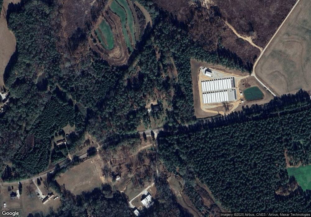
Map
Nearby Homes
- 0 Hwy 59 and Ross Place Unit 10499138
- 138 Victoria Ln
- 89 Huntington Dr
- 86 Luckie St
- 148 Allen Dr
- 266 Randall St
- 5710 Vickery St
- 49 Wright St Unit 65
- 55 Wright St Unit 67
- 57 Wright St Unit 68
- 51 Wright St Unit 66
- 45 Wright St Unit 64
- 59 Wright St Unit 69
- 5494 Vickery St
- 5474 Vickery St
- 104 Powers Rd
- 0 Highway 59 Unit 10615036
- 0 Highway 59 Unit 10632364
- 222 Charity Dr
- 181 Charity Dr
- 0 Wiley Rd
- 1066 Pine Point Ln Unit LOT 38
- 123 &135 Walters Way Rd
- 0 Bell Lee Rd Unit 319937
- 000 Commonwealth Dr
- 0 Knox Bridge Roads Unit 20066827
- 000 Rue St Joan St
- 785 Lake View Rd
- 672 Parkertown Rd
- 250 Bluebird Ln
- 0 Blueberry Ln Unit TR 2 7393318
- 0 Blueberry Ln
- 0 Blueberry Ln Unit 7606249
- 0 Blueberry Ln Unit 8469097
- 0 Blueberry Ln Unit Tr2 8746089
- 0 Blueberry Ln Unit 7246373
- 0 Blueberry Ln Unit 8678727
- 118 Bluebird Ln
- 0 Bluebird Ln Unit 7326493
- 0 Bluebird Ln Unit 8297295