9650 Myrtle Dr Stanfield, NC 28163
Estimated Value: $65,250 - $182,000
Studio
1
Bath
1,064
Sq Ft
$117/Sq Ft
Est. Value
About This Home
This home is located at 9650 Myrtle Dr, Stanfield, NC 28163 and is currently estimated at $124,813, approximately $117 per square foot. 9650 Myrtle Dr is a home located in Stanly County with nearby schools including Stanfield Elementary School, West Stanly Middle School, and West Stanly High School.
Ownership History
Date
Name
Owned For
Owner Type
Purchase Details
Closed on
Jan 1, 2011
Bought by
Long William Anthony
Current Estimated Value
Purchase Details
Closed on
Jun 7, 2010
Sold by
Guess Jennie M and Guess Roderic D
Bought by
Long William Anthony
Purchase Details
Closed on
Aug 28, 2006
Sold by
J M & G Properties Inc
Bought by
Guess Jennie M and Guess Roderic D
Purchase Details
Closed on
Apr 18, 2006
Sold by
The Bank Of New York
Bought by
J M & G Properties Inc
Purchase Details
Closed on
Mar 27, 2006
Sold by
Curtis Anthony and Curtis Sheila
Bought by
Bank Of New York
Create a Home Valuation Report for This Property
The Home Valuation Report is an in-depth analysis detailing your home's value as well as a comparison with similar homes in the area
Purchase History
| Date | Buyer | Sale Price | Title Company |
|---|---|---|---|
| Long William Anthony | -- | -- | |
| Long William Anthony | $30,000 | None Available | |
| Guess Jennie M | -- | None Available | |
| J M & G Properties Inc | $31,500 | None Available | |
| Bank Of New York | $40,708 | None Available |
Source: Public Records
Tax History
| Year | Tax Paid | Tax Assessment Tax Assessment Total Assessment is a certain percentage of the fair market value that is determined by local assessors to be the total taxable value of land and additions on the property. | Land | Improvement |
|---|---|---|---|---|
| 2025 | $315 | $50,020 | $44,160 | $5,860 |
| 2024 | $231 | $31,644 | $26,640 | $5,004 |
| 2023 | $328 | $31,644 | $26,640 | $5,004 |
| 2022 | $325 | $31,644 | $26,640 | $5,004 |
| 2021 | $320 | $31,644 | $26,640 | $5,004 |
| 2020 | $281 | $25,204 | $20,616 | $4,588 |
| 2019 | $279 | $25,204 | $20,616 | $4,588 |
| 2018 | $194 | $25,204 | $20,616 | $4,588 |
| 2017 | $194 | $25,204 | $20,616 | $4,588 |
| 2016 | $186 | $24,105 | $18,880 | $5,225 |
| 2015 | $254 | $24,105 | $18,880 | $5,225 |
| 2014 | $321 | $24,105 | $18,880 | $5,225 |
Source: Public Records
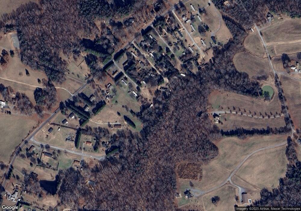
Map
Nearby Homes
- 172 Park View Dr
- 2014 McDonald Dr
- 1772 Savannah Ln Unit 19
- 5274 Lake Glenn Dr
- 0 Renee Ford Rd
- 4460 R L Ln
- 8245 Smith Rd
- 11577 Valley Oaks Ln Unit 30
- 11585 Valley Oaks Ln Unit 29
- 4734 Polk Ford Rd
- 4790 Polk Ford Rd
- 11851 Saddle Back Trail
- 4470 Kingsbury Dr
- Vacant (LOT 2) Kingsbury Dr
- 16160 Hopewell Church Rd
- 13850 Clayborn St
- 14027 Clayborn St
- 13980 Clayborn St
- 3305 Drake Rd
- 13721 Highway 601 None
- 9751 Briarwood Dr
- 9763 Briarwood Dr
- 9750 Briarwood Dr
- 2036 Polk Ford Rd
- 9779 Briarwood Dr
- 2062 Polk Ford Rd
- 3173 White Oak Dr
- 9778 Briarwood Dr
- 3167 White Oak Dr
- 2048 Polk Ford Rd
- 9669 Fred Rd
- 9788 Briarwood Dr
- 2042 Polk Ford Rd
- 3155 White Oak Dr
- 2077 Polk Ford Rd
- 3135 White Oak Dr
- 9791 Stonybrook Dr
- 2113 Polk Ford Rd
- 3150 White Oak Dr
- 2061 Polk Ford Rd
Your Personal Tour Guide
Ask me questions while you tour the home.