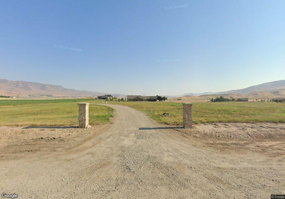
9650 N Highway 52 Horseshoe Bend, ID 83629
Gem County NeighborhoodEstimated Value: $925,000 - $1,197,241
4
Beds
2
Baths
2,791
Sq Ft
$380/Sq Ft
Est. Value
About This Home
This home is located at 9650 N Highway 52, Horseshoe Bend, ID 83629 and is currently estimated at $1,061,121, approximately $380 per square foot. 9650 N Highway 52 is a home with nearby schools including Sweet-Montour Elementary-Jr High School.
Ownership History
Date
Name
Owned For
Owner Type
Purchase Details
Closed on
Apr 28, 2005
Sold by
Hickam James and Hickam Cecilia
Bought by
Hickam James W and Hickam Cecilia J
Current Estimated Value
Home Financials for this Owner
Home Financials are based on the most recent Mortgage that was taken out on this home.
Original Mortgage
$640,000
Interest Rate
5.92%
Mortgage Type
New Conventional
Purchase Details
Closed on
Apr 26, 2005
Sold by
Hickam James and Hickam Cecillia
Bought by
Hickman James W and Hickman Cecillia J
Home Financials for this Owner
Home Financials are based on the most recent Mortgage that was taken out on this home.
Original Mortgage
$640,000
Interest Rate
5.92%
Mortgage Type
New Conventional
Create a Home Valuation Report for This Property
The Home Valuation Report is an in-depth analysis detailing your home's value as well as a comparison with similar homes in the area
Home Values in the Area
Average Home Value in this Area
Purchase History
| Date | Buyer | Sale Price | Title Company |
|---|---|---|---|
| Hickam James W | -- | -- | |
| Hickman James W | -- | -- |
Source: Public Records
Mortgage History
| Date | Status | Borrower | Loan Amount |
|---|---|---|---|
| Closed | Hickam James W | $640,000 |
Source: Public Records
Tax History Compared to Growth
Tax History
| Year | Tax Paid | Tax Assessment Tax Assessment Total Assessment is a certain percentage of the fair market value that is determined by local assessors to be the total taxable value of land and additions on the property. | Land | Improvement |
|---|---|---|---|---|
| 2024 | $2,119 | $894,156 | $351,443 | $542,713 |
| 2023 | $1,912 | $935,142 | $351,443 | $583,699 |
| 2021 | $3,241 | $836,891 | $210,911 | $625,980 |
| 2020 | $3,629 | $698,015 | $139,224 | $558,791 |
| 2019 | $3,775 | $689,039 | $130,248 | $558,791 |
| 2018 | $3,658 | $598,404 | $118,348 | $480,056 |
| 2017 | $4,069 | $550,040 | $110,880 | $439,160 |
| 2016 | $4,130 | $521,220 | $103,360 | $417,860 |
| 2015 | $3,788 | $504,910 | $87,050 | $417,860 |
| 2014 | $3,788 | $481,770 | $79,730 | $402,040 |
Source: Public Records
Map
Nearby Homes
- 5880 Sweet Ola Hwy
- 5400 Montour Rd
- 5375 Montour Rd
- TBD Sweet Ola Hwy
- 8011 Westridge Ln
- 6501 Sweet Ola Hwy
- Lot 1 Jake Ln
- Lot 2 Jake Ln
- Lot 7 Jake Ln
- 7241 Sweet Ola Hwy
- 9605 Darnell Rd Unit Darnell Rd
- TBD
- TBD Pheasant Ln Lot 3
- TBD Pheasant Ln Lot 6
- 4001 Harmony Ln
- TBD Pheasant Ln Lot 2
- 11980 N Highway 52
- 11315 Timber Butte Dr
- 5208 Highway 52
- 107 Shirley Ln
- 9600 N Highway 52
- 9600 N Highway 52
- 9700 N Highway 52
- 9400 N Highway 52
- 9575 N Highway 52
- 9415 N Highway 52
- 9625 N Highway 52
- 9365 N Highway 52
- 9655 N Highway 52
- 9315 N Highway 52
- 22 acres N Highway 52
- 9675 N Highway 52
- 9701 N Highway 52
- 9715 N Highway 52
- 9595 N Highway 52
- 9800 N Highway 52
- 9800 N Hwy 52
- 9950 Wild Horse Cir
- 9265 N Highway 52
- 9393 N Highway 52