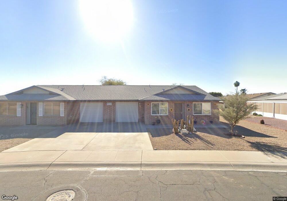
9653 W Brown St Unit B Peoria, AZ 85345
Estimated Value: $207,532 - $241,000
--
Bed
2
Baths
1,144
Sq Ft
$197/Sq Ft
Est. Value
About This Home
This home is located at 9653 W Brown St Unit B, Peoria, AZ 85345 and is currently estimated at $224,883, approximately $196 per square foot. 9653 W Brown St Unit B is a home located in Maricopa County with nearby schools including Sun Valley Elementary School, Raymond S. Kellis, and Ombudsman - Northwest Charter.
Ownership History
Date
Name
Owned For
Owner Type
Purchase Details
Closed on
Apr 6, 2023
Sold by
Gray Clyde L and Gray Colleen
Bought by
Tuck B Llc
Current Estimated Value
Purchase Details
Closed on
Jan 24, 2002
Sold by
Schassler Karen E
Bought by
Gray Clyde L and Gray Colleen
Home Financials for this Owner
Home Financials are based on the most recent Mortgage that was taken out on this home.
Original Mortgage
$48,510
Interest Rate
6.75%
Mortgage Type
Purchase Money Mortgage
Create a Home Valuation Report for This Property
The Home Valuation Report is an in-depth analysis detailing your home's value as well as a comparison with similar homes in the area
Home Values in the Area
Average Home Value in this Area
Purchase History
| Date | Buyer | Sale Price | Title Company |
|---|---|---|---|
| Tuck B Llc | -- | -- | |
| Gray Clyde L | $63,000 | Stewart Title & Trust Phoeni |
Source: Public Records
Mortgage History
| Date | Status | Borrower | Loan Amount |
|---|---|---|---|
| Previous Owner | Gray Clyde L | $48,510 |
Source: Public Records
Tax History Compared to Growth
Tax History
| Year | Tax Paid | Tax Assessment Tax Assessment Total Assessment is a certain percentage of the fair market value that is determined by local assessors to be the total taxable value of land and additions on the property. | Land | Improvement |
|---|---|---|---|---|
| 2025 | $615 | $6,585 | -- | -- |
| 2024 | $604 | $6,271 | -- | -- |
| 2023 | $604 | $17,270 | $3,450 | $13,820 |
| 2022 | $592 | $13,630 | $2,720 | $10,910 |
| 2021 | $620 | $11,830 | $2,360 | $9,470 |
| 2020 | $624 | $11,030 | $2,200 | $8,830 |
| 2019 | $605 | $9,680 | $1,930 | $7,750 |
| 2018 | $587 | $7,820 | $1,560 | $6,260 |
| 2017 | $585 | $6,560 | $1,310 | $5,250 |
| 2016 | $578 | $5,900 | $1,180 | $4,720 |
| 2015 | $538 | $5,980 | $1,190 | $4,790 |
Source: Public Records
Map
Nearby Homes
- 10134 N 97th Ave Unit B
- 9616 W Mountain View Rd Unit A
- 10018 N 97th Dr Unit A
- 9564 W Purdue Ave
- 9721 W Mountain View Rd
- 9653 W Purdue Ave
- 10127 N 95th Dr Unit A
- 9717 W Purdue Ave
- 10201 N 99th Ave Unit 32A
- 10201 N 99th Ave Unit 46
- 10201 N 99th Ave Unit 44
- 10201 N 99th Ave Unit 97
- 10201 N 99th Ave Unit 34
- 10201 N 99th Ave Unit 28A
- 10201 N 99th Ave Unit 49
- 10201 N 99th Ave Unit 129E
- 10201 N 99th Ave Unit 135F
- 10201 N 99th Ave Unit 3
- 10201 N 99th Ave Unit 160
- 10201 N 99th Ave Unit 149
- 9653 W Brown St Unit A
- 9645 W Brown St Unit B
- 9645 W Brown St Unit A
- 9654 W Cinnabar Ave Unit A
- 9654 W Cinnabar Ave Unit B
- 10021 N 97th Ave Unit B
- 10021 N 97th Ave
- 9662 W Cinnabar Ave
- 9662 W Cinnabar Ave Unit A
- 9662 W Cinnabar Ave Unit B
- 9646 W Cinnabar Ave Unit B
- 9646 W Cinnabar Ave Unit A
- 10103 N 97th Ave Unit A
- 10103 N 97th Ave Unit B
- 10013 N 97th Ave Unit A
- 10013 N 97th Ave Unit B
- 9634 W Brown St Unit A
- 9634 W Brown St Unit B
- 9639 W Brown St Unit B
- 9639 W Brown St Unit A