9655 Brushy Fork Rd Tell City, IN 47586
Estimated Value: $346,000 - $396,779
5
Beds
3
Baths
2,600
Sq Ft
$144/Sq Ft
Est. Value
About This Home
This home is located at 9655 Brushy Fork Rd, Tell City, IN 47586 and is currently estimated at $375,445, approximately $144 per square foot. 9655 Brushy Fork Rd is a home located in Perry County with nearby schools including William Tell Elementary School and Tell City Junior/Senior High School.
Ownership History
Date
Name
Owned For
Owner Type
Purchase Details
Closed on
Apr 21, 2017
Sold by
Lloyd Jamie S
Bought by
Shadwick Jason R and Shadwick Debra R
Current Estimated Value
Home Financials for this Owner
Home Financials are based on the most recent Mortgage that was taken out on this home.
Original Mortgage
$264,550
Outstanding Balance
$220,386
Interest Rate
4.25%
Mortgage Type
FHA
Estimated Equity
$155,059
Purchase Details
Closed on
Oct 9, 2009
Sold by
Wolf Warren G and Wolf Sherri L
Bought by
Lloyd Jamie S
Home Financials for this Owner
Home Financials are based on the most recent Mortgage that was taken out on this home.
Original Mortgage
$106,250
Interest Rate
6.25%
Mortgage Type
Adjustable Rate Mortgage/ARM
Create a Home Valuation Report for This Property
The Home Valuation Report is an in-depth analysis detailing your home's value as well as a comparison with similar homes in the area
Home Values in the Area
Average Home Value in this Area
Purchase History
| Date | Buyer | Sale Price | Title Company |
|---|---|---|---|
| Shadwick Jason R | -- | None Available | |
| Lloyd Jamie S | -- | None Available |
Source: Public Records
Mortgage History
| Date | Status | Borrower | Loan Amount |
|---|---|---|---|
| Open | Shadwick Jason R | $264,550 | |
| Previous Owner | Lloyd Jamie S | $106,250 |
Source: Public Records
Tax History Compared to Growth
Tax History
| Year | Tax Paid | Tax Assessment Tax Assessment Total Assessment is a certain percentage of the fair market value that is determined by local assessors to be the total taxable value of land and additions on the property. | Land | Improvement |
|---|---|---|---|---|
| 2024 | $2,611 | $276,600 | $37,600 | $239,000 |
| 2023 | $2,462 | $250,700 | $37,600 | $213,100 |
| 2022 | $2,220 | $236,300 | $30,500 | $205,800 |
| 2021 | $2,241 | $201,600 | $22,800 | $178,800 |
| 2020 | $2,011 | $188,600 | $22,800 | $165,800 |
| 2019 | $1,879 | $181,200 | $22,000 | $159,200 |
| 2018 | $1,928 | $176,400 | $22,000 | $154,400 |
| 2017 | $1,849 | $172,600 | $22,000 | $150,600 |
| 2016 | $1,912 | $170,200 | $22,000 | $148,200 |
| 2014 | $1,945 | $160,400 | $22,000 | $138,400 |
| 2013 | $1,945 | $157,800 | $22,000 | $135,800 |
Source: Public Records
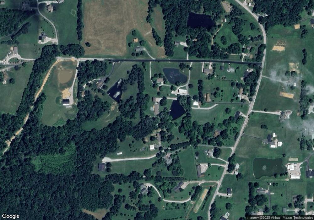
Map
Nearby Homes
- 9485 Singleton Rd
- 0 Stone Rd
- 9225 Sunset Rd
- 0 Brushy Fork Rd
- 9040 Steward Rd
- 9765 Stardust Rd
- 1804 12th St
- Revolution Craftsman Plan at Forest Canton Heights
- Patriot Craftsman Plan at Forest Canton Heights
- National Craftsman Plan at Forest Canton Heights
- Cumberland Craftsman Plan at Forest Canton Heights
- Teton Craftsman Plan at Forest Canton Heights
- Summit Craftsman Plan at Forest Canton Heights
- 8700 Brushy Fork Rd
- 9150 Doctor N A James Ave Unit 4
- 1634 13th St
- 0 Starlite Rd
- 1341 17th St
- 0 Hwy 66 Unit 11177769
- 1241 20th St
- 9573 Brushy Fork Rd
- 3131 Seymour Rd
- 9651 Brushy Fork Rd
- 9571 Brushy Fork Rd
- 0 Seymour Rd
- 9569 Brushy Fork Rd
- 3067 Seymour Rd
- 9587 Brushy Fork Rd
- 3142 Seymour Rd
- 3241 Seymour Rd
- 3208 Seymour Rd
- 9541 Brushy Fork Rd
- 9537 Brushy Fork Rd
- 3281 Seymour Rd
- 9505 Brushy Fork Rd
- 9627 Brushy Fork Rd
- 9503 Brushy Fork Rd
- 9657 Brushy Fork Rd
- 3321 Seymour Rd
- 9520 Brushy Fork Rd