9655 Highway 140 Eagle Point, OR 97524
Estimated Value: $1,139,097 - $1,348,000
4
Beds
4
Baths
3,400
Sq Ft
$359/Sq Ft
Est. Value
About This Home
This home is located at 9655 Highway 140, Eagle Point, OR 97524 and is currently estimated at $1,221,366, approximately $359 per square foot. 9655 Highway 140 is a home located in Jackson County with nearby schools including Eagle Rock Elementary School, Eagle Point Middle School, and White Mountain Middle School.
Ownership History
Date
Name
Owned For
Owner Type
Purchase Details
Closed on
Jun 23, 2016
Sold by
Bonsi Paul L and Bonsi Gina L
Bought by
Harris Bob Roy
Current Estimated Value
Home Financials for this Owner
Home Financials are based on the most recent Mortgage that was taken out on this home.
Original Mortgage
$417,000
Outstanding Balance
$329,284
Interest Rate
3.58%
Mortgage Type
New Conventional
Estimated Equity
$892,083
Purchase Details
Closed on
Mar 22, 2004
Sold by
Bonsi Paul L and Bonsi Gina L
Bought by
Bonsi Paul L and Bonsi Gina L
Purchase Details
Closed on
Apr 13, 2001
Sold by
Ratliff Jack W and Jack W Ratliff Family Revocabl
Bought by
Bonsi Paul and Bonsi Gina
Home Financials for this Owner
Home Financials are based on the most recent Mortgage that was taken out on this home.
Original Mortgage
$550,000
Interest Rate
7.09%
Mortgage Type
Seller Take Back
Create a Home Valuation Report for This Property
The Home Valuation Report is an in-depth analysis detailing your home's value as well as a comparison with similar homes in the area
Purchase History
| Date | Buyer | Sale Price | Title Company |
|---|---|---|---|
| Harris Bob Roy | $800,000 | First American | |
| Harris Bob Roy | $800,000 | First American | |
| Bonsi Paul L | -- | -- | |
| Bonsi Paul L | -- | -- | |
| Bonsi Paul | $725,000 | Lawyers Title Insurance Corp | |
| Bonsi Paul | $725,000 | Lawyers Title Insurance Corp |
Source: Public Records
Mortgage History
| Date | Status | Borrower | Loan Amount |
|---|---|---|---|
| Open | Harris Bob Roy | $417,000 | |
| Previous Owner | Bonsi Paul | $550,000 |
Source: Public Records
Tax History
| Year | Tax Paid | Tax Assessment Tax Assessment Total Assessment is a certain percentage of the fair market value that is determined by local assessors to be the total taxable value of land and additions on the property. | Land | Improvement |
|---|---|---|---|---|
| 2026 | $7,335 | $727,696 | -- | -- |
| 2025 | $7,190 | $706,508 | $102,148 | $604,360 |
| 2024 | $7,190 | $685,939 | $99,179 | $586,760 |
| 2023 | $6,981 | $665,962 | $96,282 | $569,680 |
| 2022 | $6,661 | $665,962 | $96,282 | $569,680 |
| 2021 | $6,422 | $646,575 | $93,465 | $553,110 |
| 2020 | $7,098 | $627,746 | $90,756 | $536,990 |
| 2019 | $6,971 | $591,717 | $85,537 | $506,180 |
| 2018 | $6,807 | $574,486 | $83,046 | $491,440 |
| 2017 | $6,660 | $574,486 | $83,046 | $491,440 |
| 2016 | $6,476 | $541,519 | $78,289 | $463,230 |
| 2015 | $6,221 | $541,519 | $78,289 | $463,230 |
| 2014 | $5,814 | $491,014 | $158,204 | $332,810 |
Source: Public Records
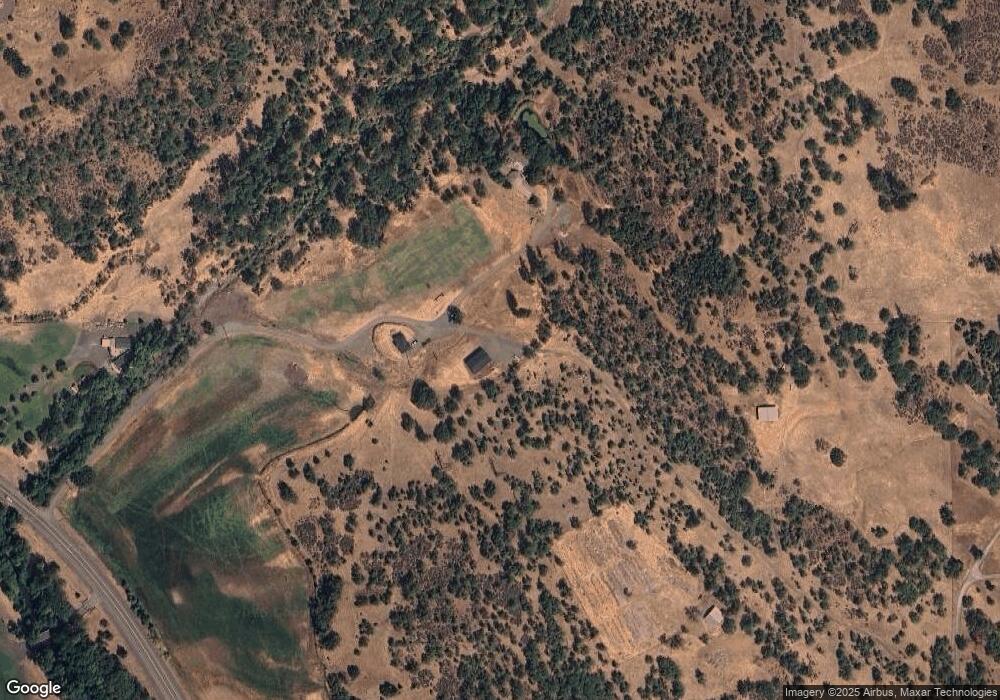
Map
Nearby Homes
- 10 Fish Lake Tract G
- 766 Meridian Rd
- 1918 Stevens Rd
- 0 Riley Rd Unit 220209029
- 1207 Overlook Dr
- 1319 Crestmont Place
- 1881 Brophy Rd
- 1214 Overlook Dr
- 1297 Stonegate Dr Unit 473
- 0 S Clayton St Unit MFRNS1087363
- 0 S Clayton St Unit 1223298
- 1315 Poppy Ridge Dr
- 1153 Pumpkin Unit 322
- 1159 Pumpkin Ridge Unit 323
- 468 Pinnacle Ridge Unit 88
- 437 Pinnacle Ridge Unit 80
- 461 Pinnacle Ridge Unit 94
- 455 Pinnacle Ridge Unit 76
- 1152 Pumpkin Unit 334
- 1147 Pumpkin Unit 321
- 9655 Highway 140
- 9655 Hwy 140
- 400 S Obenchain Rd
- 370 S Obenchain Rd
- 10000 Oregon 140
- 10000 Highway 140
- 10000 Highway 140
- 436 S Obenchain Rd
- 350 S Obenchain Rd
- 350 S Obenchain Rd
- 300 S Obenchain Rd
- 500 S Obenchain Rd
- 262 S Obenchain Rd
- 10100 Highway 140
- 10100 Hwy 140
- 1402 S Obenchain Rd
- 1208 S Obenchain Rd
- 1892 S Obenchain Rd
- 10270 Highway 140
- 10270 Highway 140
Your Personal Tour Guide
Ask me questions while you tour the home.